displaying 300 results
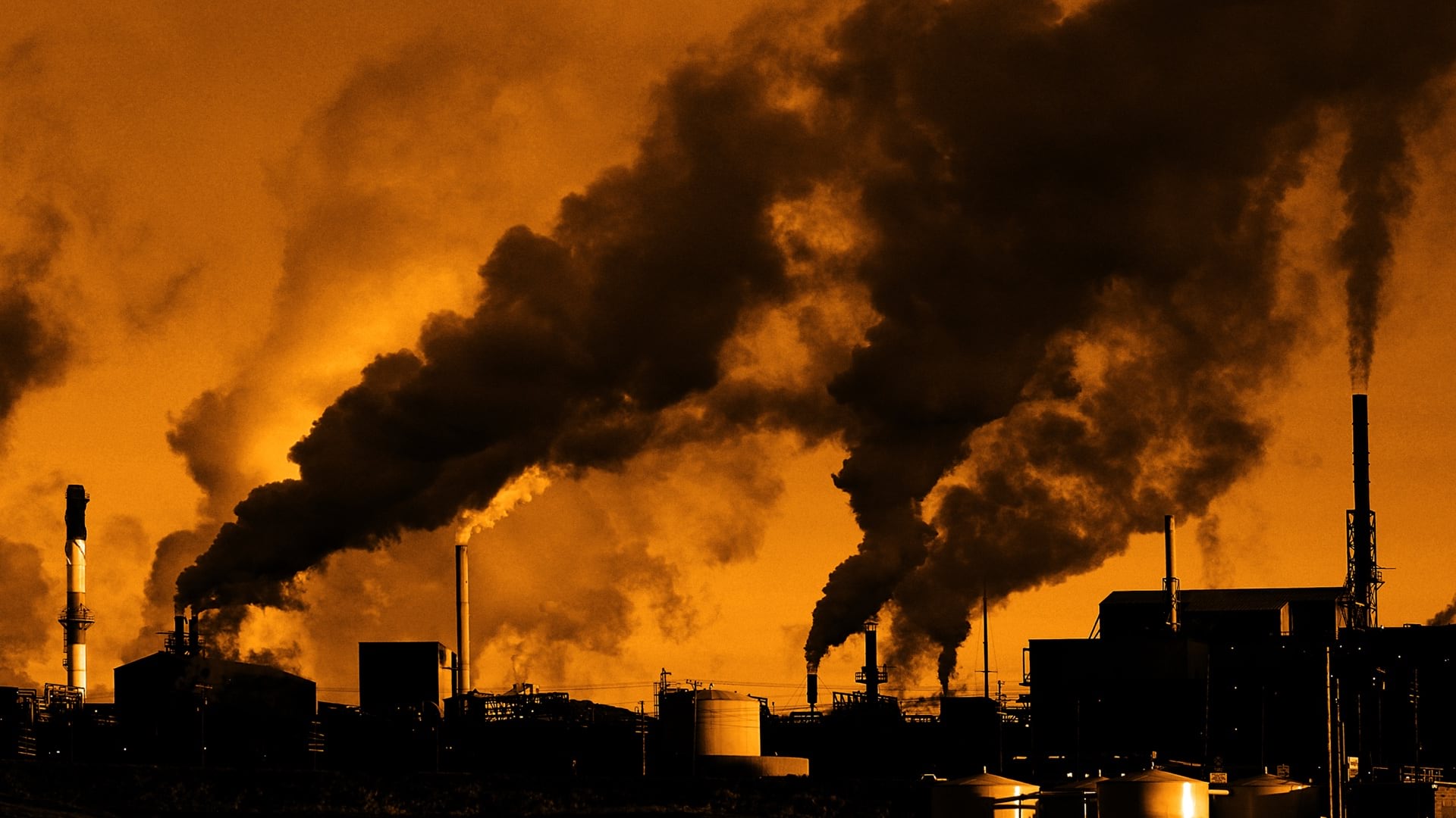
Charles Lee was on the ground floor of the environmental justice movement, creating maps to show the insidious health impacts on people of color.

In this video, Esri’s Clinton Johnson and Diana Lavery dive into the data and workflows to help you operationalize your equity impact assessment.
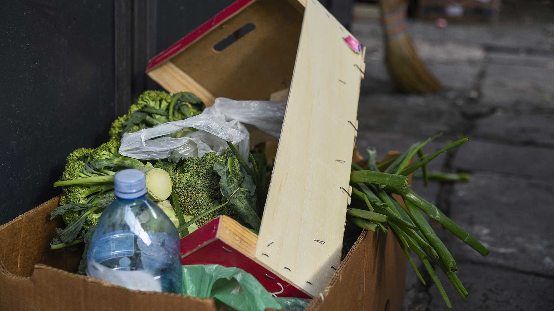
A college developed a community-based service-learning project uses GIS to fight food waste.

Publisher of Black Voice News finds ways to use GIS mapping to advocate for the voiceless while promoting corporate social responsibility.
The ResilientMass website gives communities the tools and resources needed to plan and prioritize resilience projects.
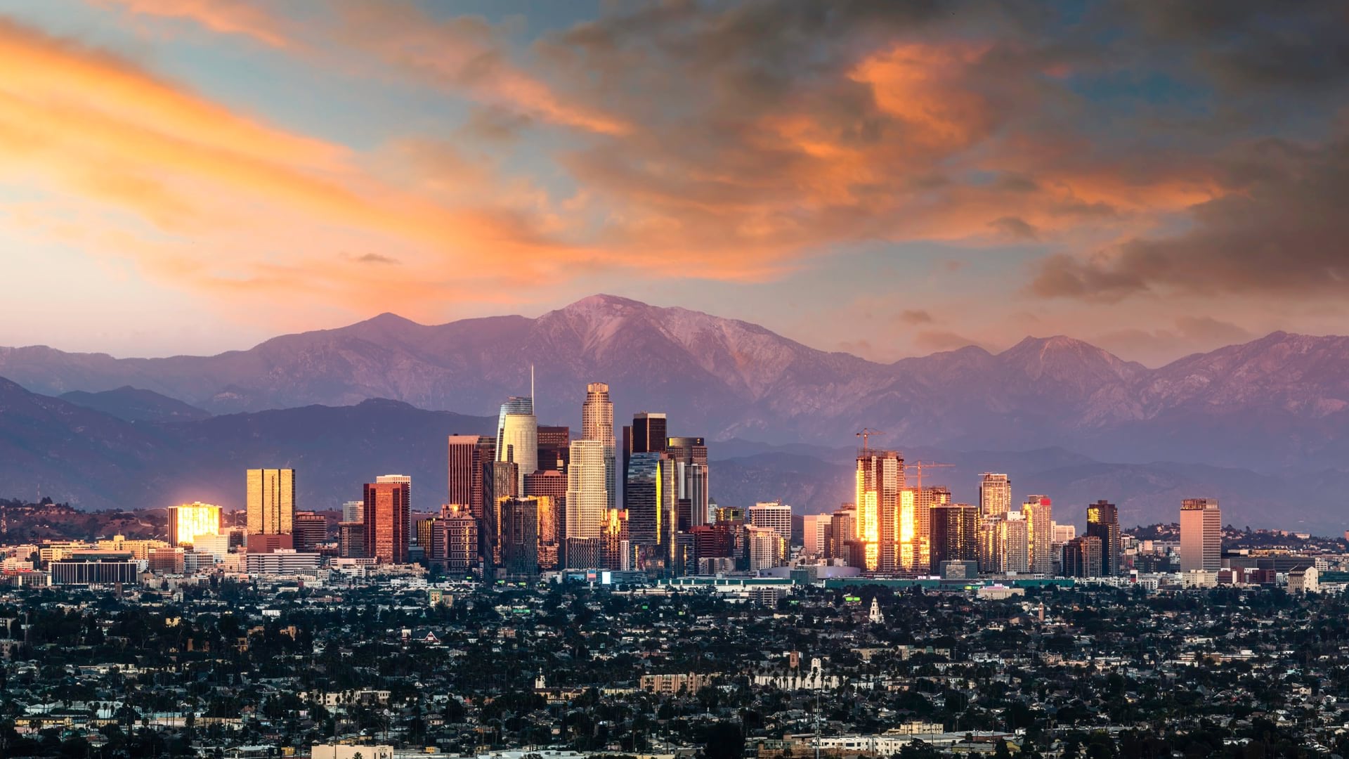
Los Angeles has long been a leader in open data and taking a data-driven approach, and mapping is often the way it approaches problems.
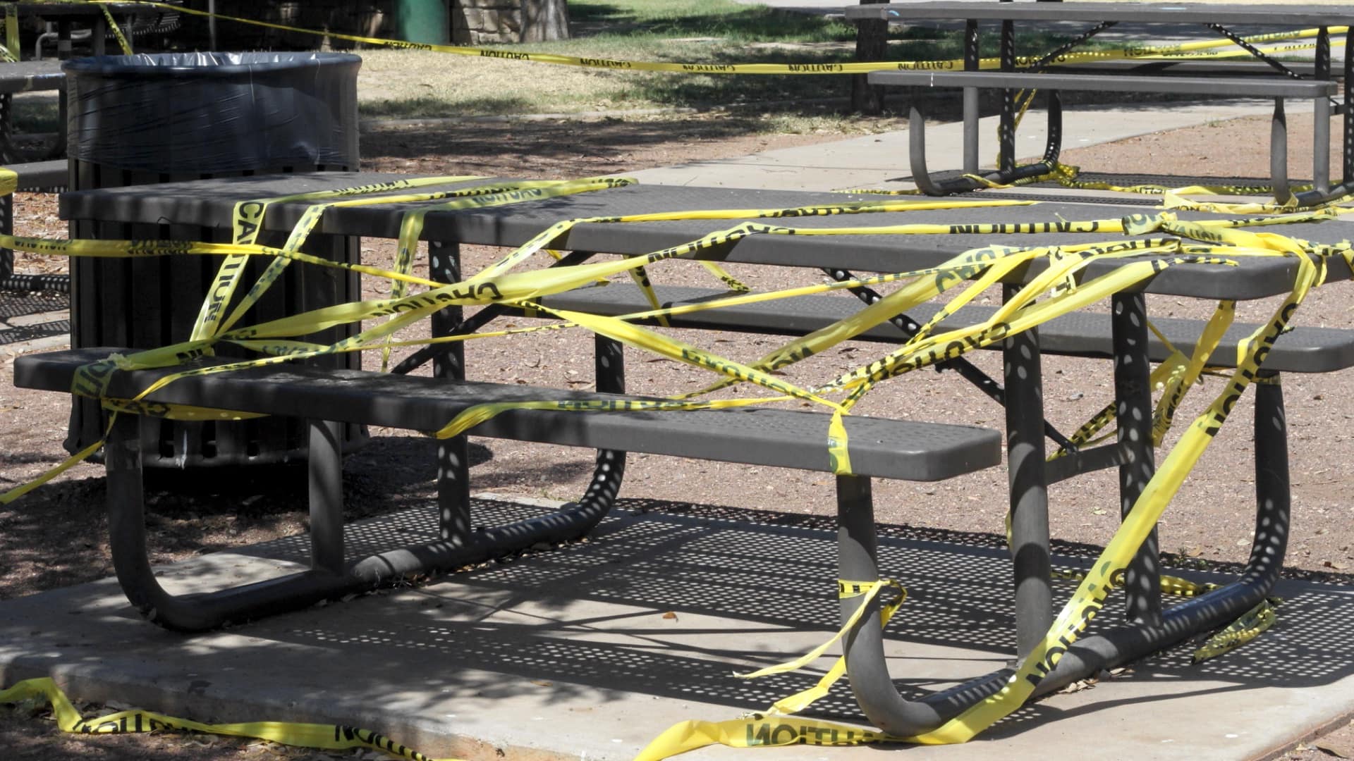
The city of Tempe, Arizona added the ability to test coronavirus bio markers in wastewater to provide advance warning about COVID-19 spikes.

GIS—Creating a Sustainable Future, the the 2021 Esri User Conference theme, emphasizes using GIS to balance environmental, economic, and society.

Puget Sound Energy uses GIS and data visualization to monitor clean energy goals and ensure equity in electrification efforts.
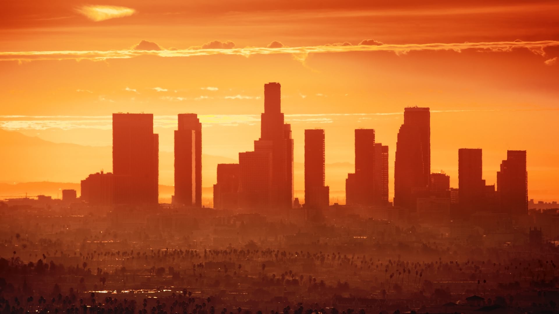
Los Angeles takes a data-driven approach to extreme heat by mapping communities that require cooling centers.

During the shift to remote schooling, school districts turn to GIS to map where students lack computers and access to internet.
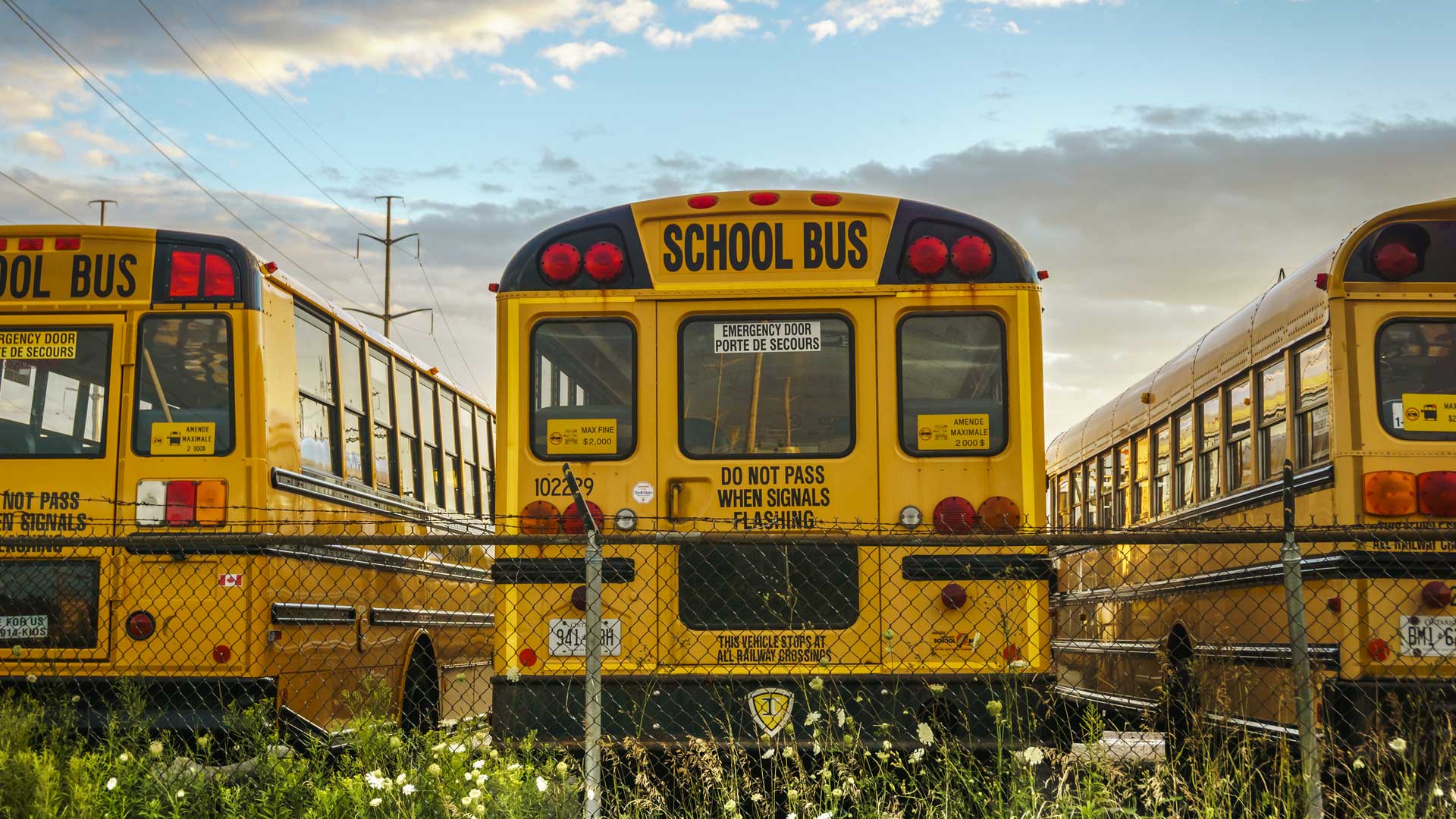
The effects of unequal access to broadband internet have been exacerbated by effects of the COVID-19 pandemic on some populations.