displaying 283 results
KeAndra Cylear Dodds from LA Metro talks about how mapping and technology are helping reduce inequality of transportation access in LA.

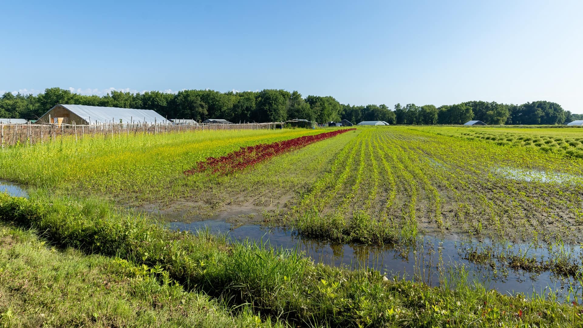
A college developed a community-based service-learning project uses GIS to fight food waste.
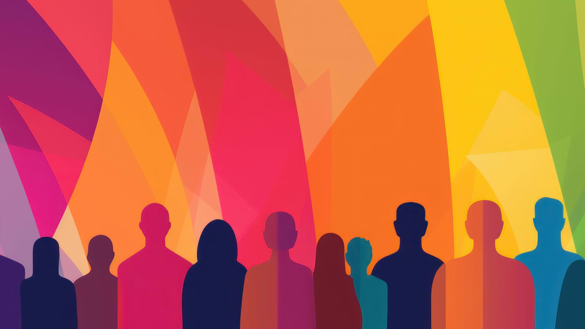
Jamal Watkins from the NAACP discusses the role of mapping technology in ending policies that create racial inequity.
To track the actions that cities and counties are taking to tackle racism, Mapping Black California is using GIS and blockchain technology.

2892 Miles to Go, a social justice geoinquiry program, uses maps to amplify community narratives about justice, race, and equity.
Community Activist Darlene Flynn talks about how technology is being used to dismantle racial inequity.
The ResilientMass website gives communities the tools and resources needed to plan and prioritize resilience projects.
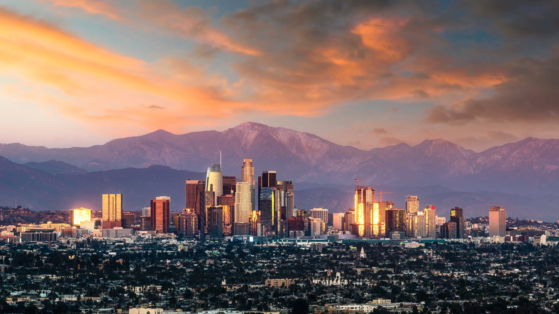
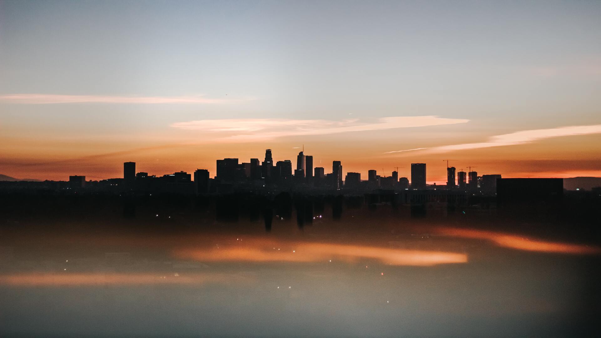
Los Angeles has long been a leader in open data and taking a data-driven approach, and mapping is often the way it approaches problems.

GIS—Creating a Sustainable Future, the the 2021 Esri User Conference theme, emphasizes using GIS to balance environmental, economic, and society.

During the shift to remote schooling, school districts turn to GIS to map where students lack computers and access to internet.

Using data and location analytics, corporations are unlocking economic opportunity while promoting equity and sustainability.
The Hawai'i Broadband Digital Equity Office uses GIS to roll out popup events, digital literacy classes, and networked support across the state.