displaying 3069 results
How do firefighters in Australia use web maps to prevent and fight bushfires? How does a seed company use the analytical power of web GIS...
The Utah Department of Transportation uses the UPLAN portal it created in ArcGIS Online to share and work with maps.
PenBay Media and Esri partner GISi use the ArcGIS platform to help EPA scientists make more informed decisions...
What is a location strategy for real estate (or any other industry for that matter), and why do you need one?
The US Navy's new standardized addressing system will help dispatchers route police and ambulances to emergencies.
In fast-growing Spanish Fork, UT, field crews now use UtiliSync to complete their inspections digitally.
Find out how to use ArcGIS to improve workflows and tackle common business issues.
The FGDC has transformed thousands of disparate geographic databases into a dynamic, coherent, and strategic resource for better governance.
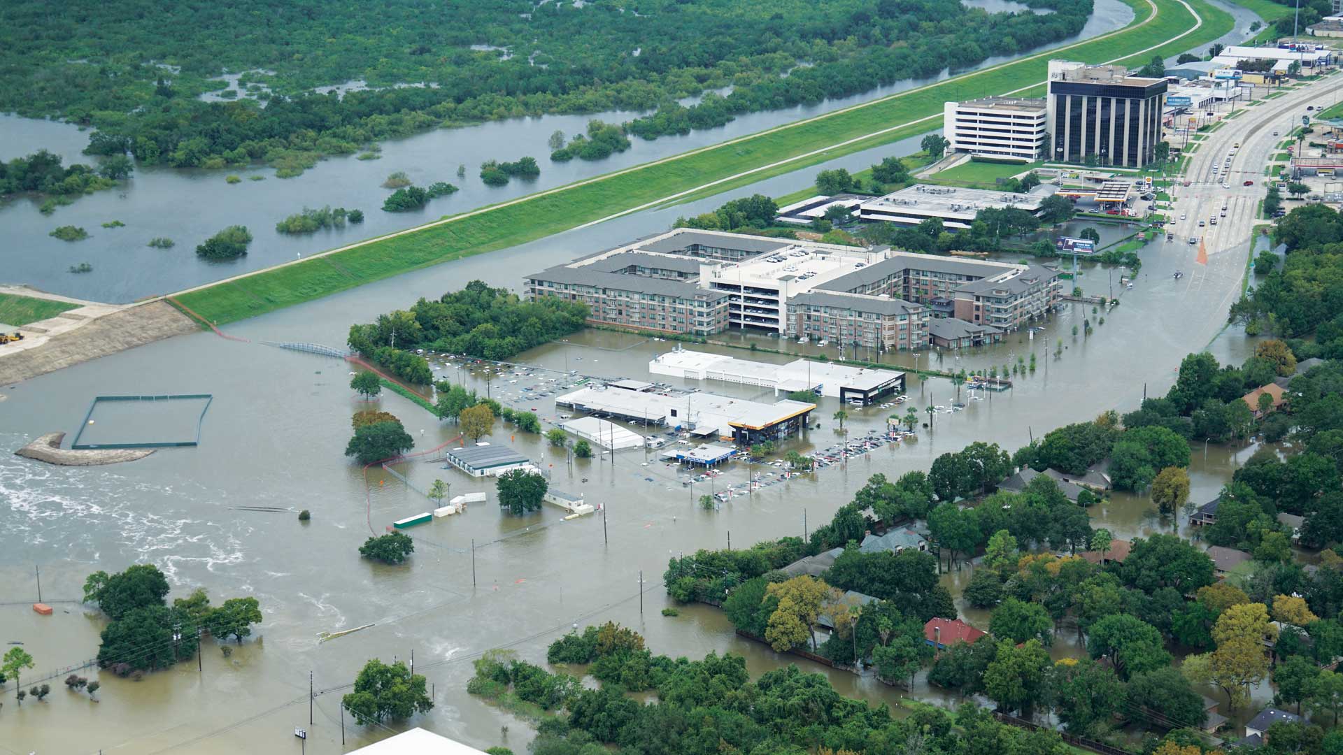
When Hurricane Harvey made landfall in Texas last August, several agencies were already creating inundation maps thanks to work by UT and Esri.
By embracing the use of GIS, UCSB staff have created a campus-wide atlas to manage and update the university’s utility lines.


