displaying 4700 results
The list of industries using drones to inspect assets has grown steadily in recent years. The latest addition: commercial airlines.
What the rise of nonalcoholic beer can tell us about consumer preferences.
Three companies explain how GIS technology drives nature-based practices for their businesses.
Don’t let the headlines fool you—with bankruptcy rates high, the retail vacancy rate is still low. Some brands know just how to adapt.
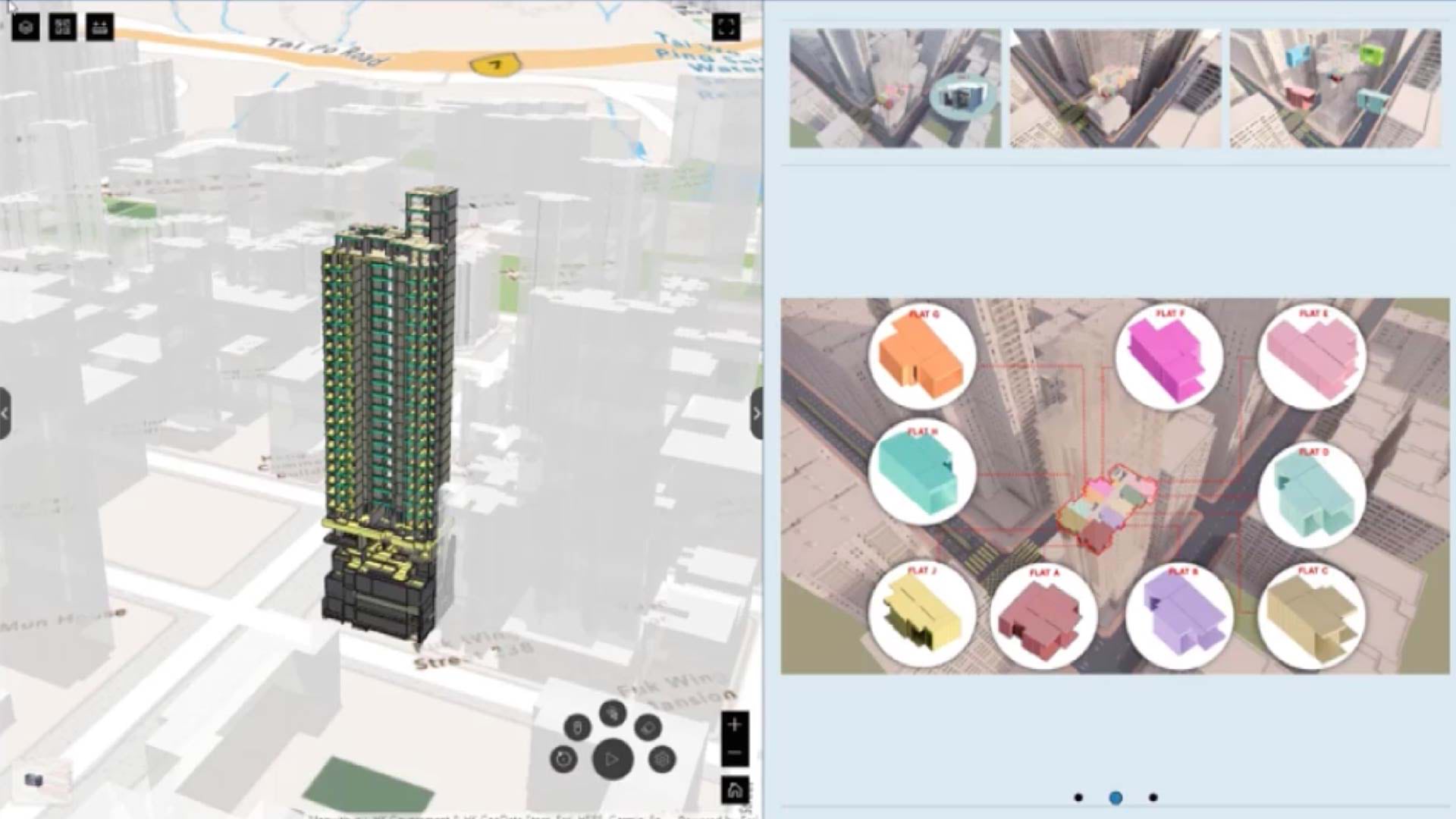
Digital twins are helping firms create the future of construction, raising standards for safety, efficiency, and smart planning.
In just over 12 years, the planet added 1 billion people. As demand rises, companies must find a healthier relationship with natural resources.
To grow the clean energy grid, one nonprofit has a plan to bury high-voltage transmission lines along highways, guided by GIS technology.
Recent examples show how GeoAI leads to better risk management practices across business sectors.


