displaying 4314 results
WhereNext, an online digital magazine targeted at business executives and decision-makers in government, looks at the role of location in trends…
Many of us toil away for years on our chosen academic path to make sure we have the skills and knowledge so that we are employable in a highly…
The Chesapeake Conservancy is using raster analytics to perform land-cover updates using raster analytics in the cloud.
Esri Academy is a new online GIS education website.
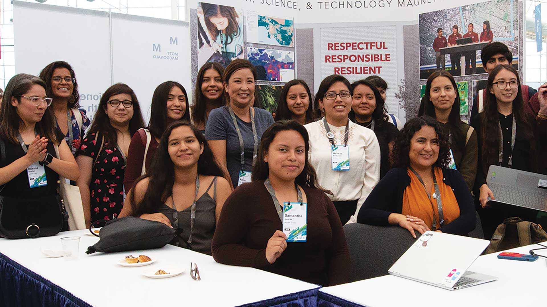
WeCan organization put on a panel on Women in GIS at Esri User Conference.
Jay Theodore, Esri Chief Technology Officer, explains why organizations are combining AI and the geospatial thinking to make better decisions.
Sophia Garcia, Equity and Civic Nonprofits Industry Lead at Esri, discusses how mapping and technology give social equity work momentum.
CFO Dan Pimentel from ESP Logistics Technology explains how location intelligence enables a resilient and profitable supply chain.
Conservationist Jennifer Norris explains California's strategic success in protecting biodiversity while also sustaining the economy.
Maria-Alicia Serrano, Senior Director of Research, Analytics & Insights for YMCA, explains how technology enables strategic community outreach.
Omar Maher, advanced analytics practice lead at Esri, explains how businesses and governments use AI and location technology for prediction.
Dr. Thomas Crowther from The Crowther Lab talks about how business and government are using technology to address climate change.


