displaying 4189 results
A planning digital twin keeps developers and the public informed of proposed development projects in Montgomery County, Maryland.
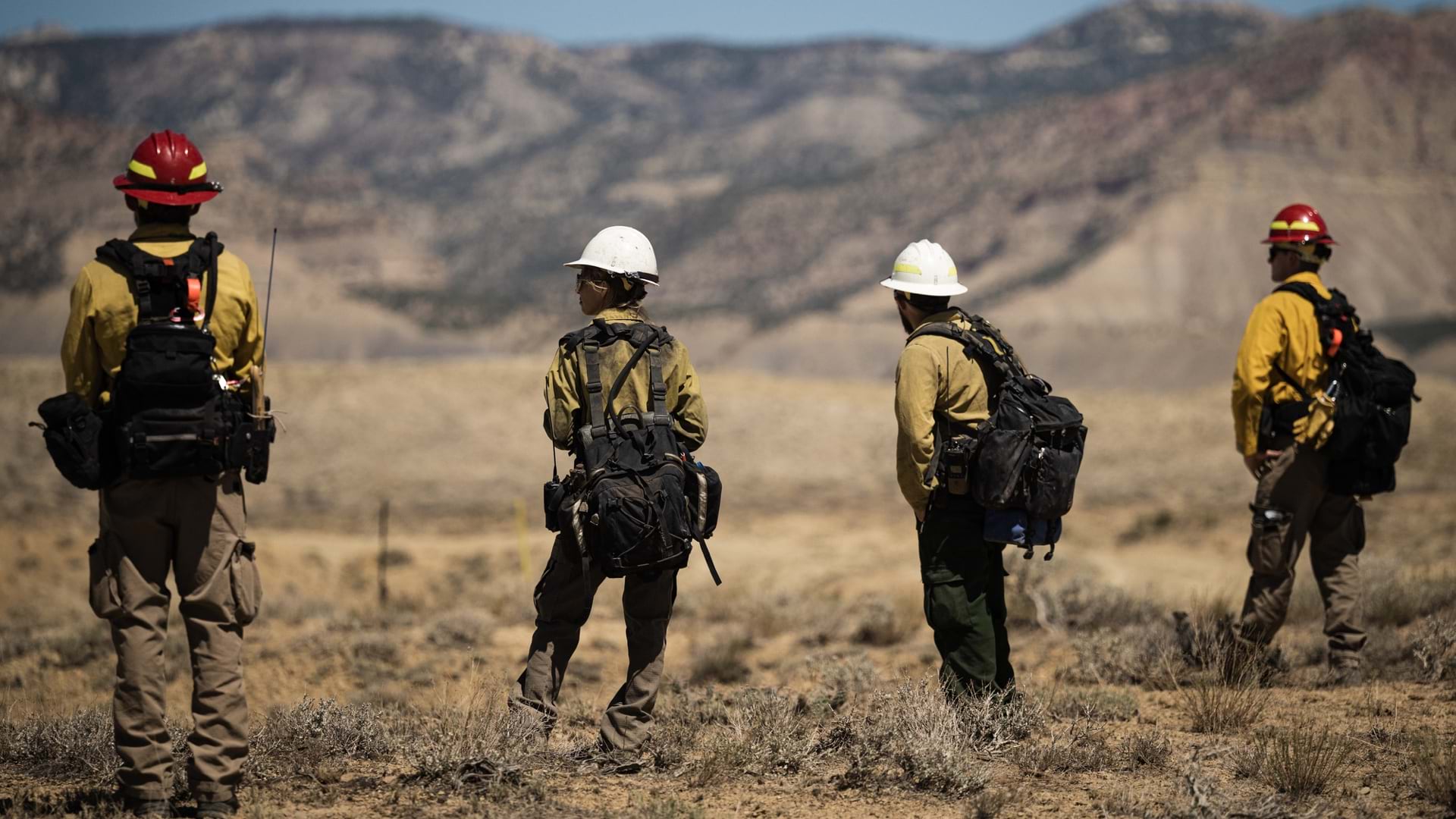
GIS reveals where fire mitigation is needed and enables incident managers to coordinate the actions of wildland firefighters.
Australian flood damage was assessed from above with remotely piloted aircraft.
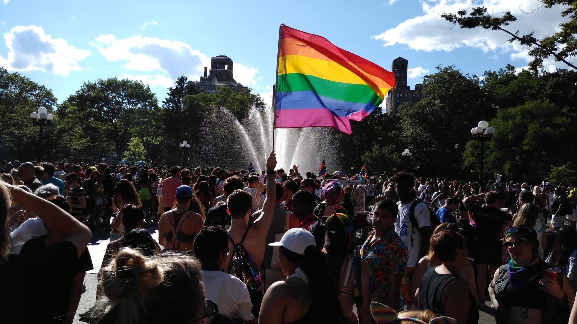
The New York City Police Department has a new LGBTQIA+ Resource Map to connect at-risk youth with community support.
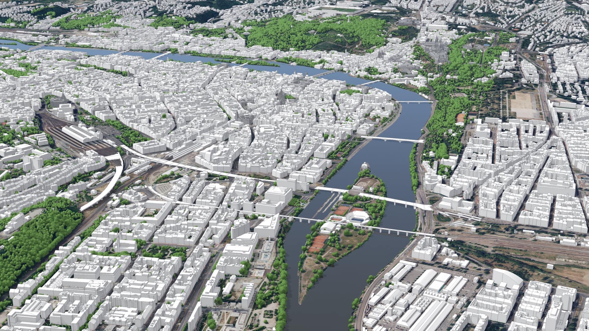
Prague uses a digital twin to consider connectivity and livability in a neighborhood that suffered from industrial impacts and a rail yard rift.
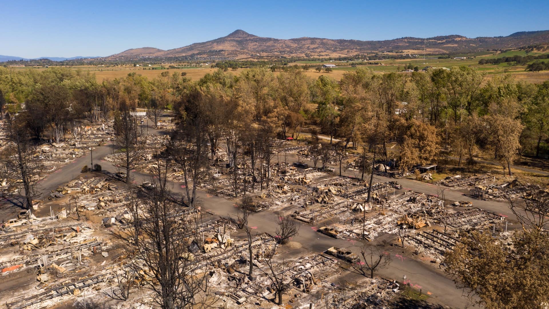
Planners in Talent, Oregon, used 3D visualization tools to build transitional housing for families left homeless by the Almeda Fire.
The blue dot is finding a home indoors, heralding a new cartographic era.
City leaders who map challenges can cut across political divides by visualizing and surfacing the needs of disadvantaged residents.
Montana used GIS to help the agency and the public visualize and understand the dispersal of economic stimulus funds.
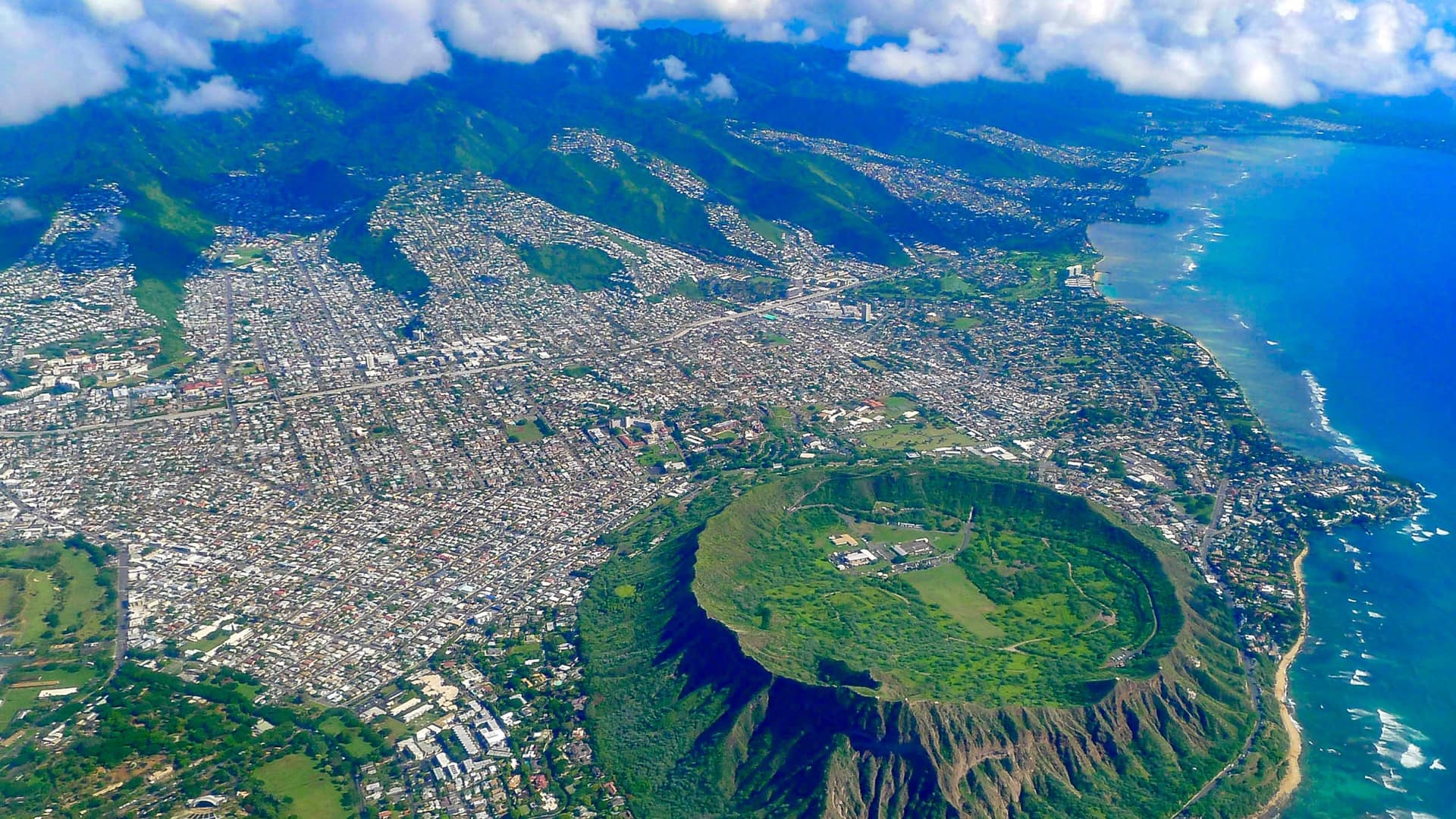
Hawaiʻi Green Growth oversees the Aloha+ Challenge, a set of sustainable development goals the state plans to meet by 2030.
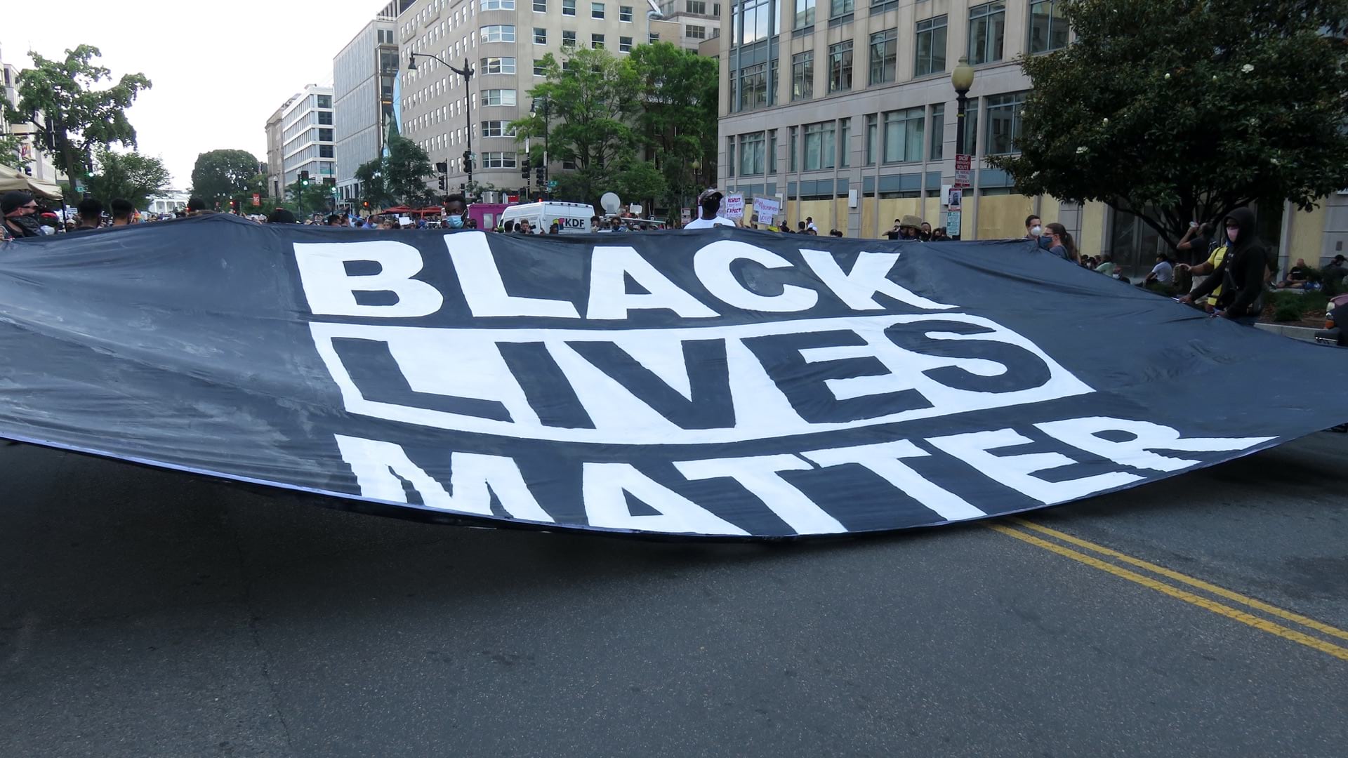
Location intelligence provides insight into patterns of inequality and connects communities around a common understanding to drive change.
GIS applications help governments modernize election processes to ensure social distancing during the COVID-19 pandemic.

