displaying 3069 results
ArcGIS Indoors is available in three options, making it easier for organizations to extend their existing ArcGIS systems for indoor needs.
In 2014, the French government launched Nouveau Programme National de Renouvellement Urbain (NPNRU), its national program for urban renewal.
Four new books were recently published by Esri Press, including two that give readers a good grounding in the fundamentals of ArcGIS Desktop.
Maryland Department of Transportation communicates with the public via a website that features details on all active state roadway projects.
Esri Training has several new instructor-led courses, MOOCs, and specialty certifications available, all with options to take them online.
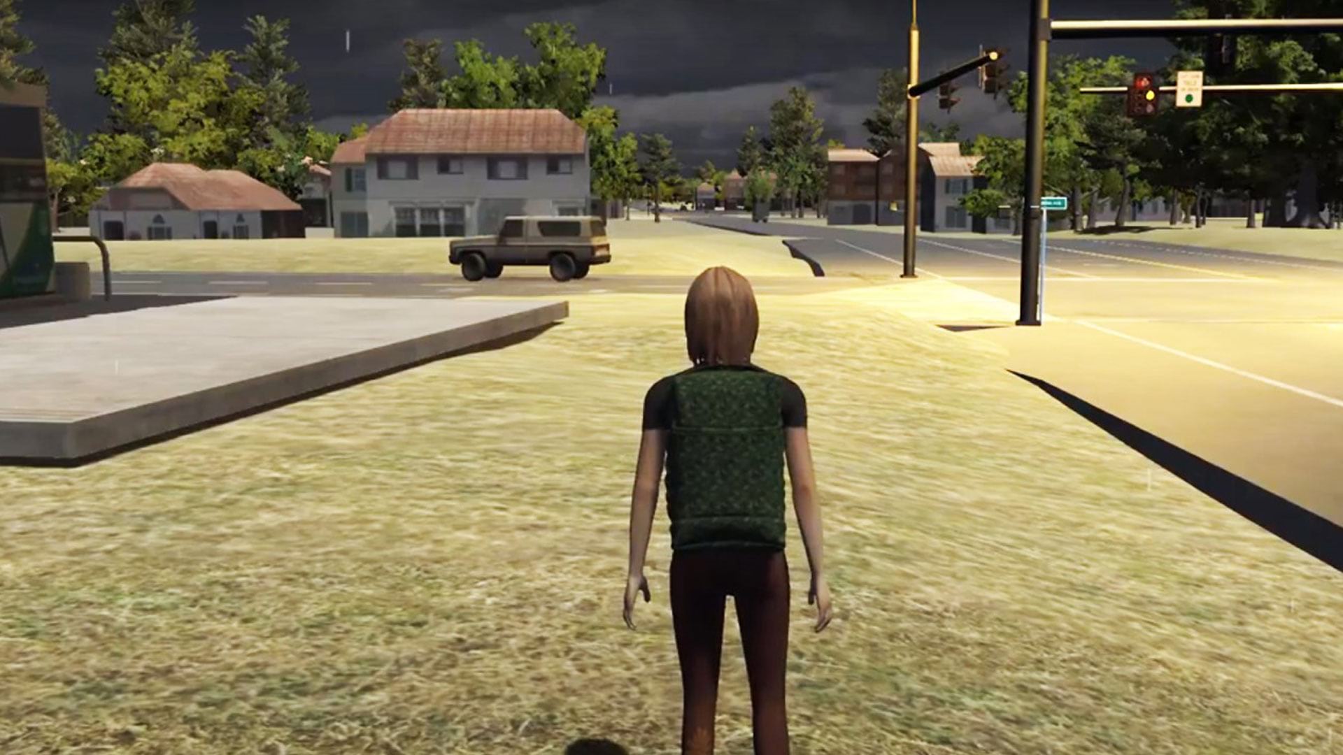
See how researchers at Rochester Institute of Technology (RIT) in New York used ArcGIS to create serious games for disaster response.
Esri is hiring people for positions at its headquarters, regional offices, and R&D Centers. See all the career opportunities at Esri.
Scottsdale Fire Department used Esri technology rather than paper maps to quickly route paramedics to medical calls at a PGA golf tournament.
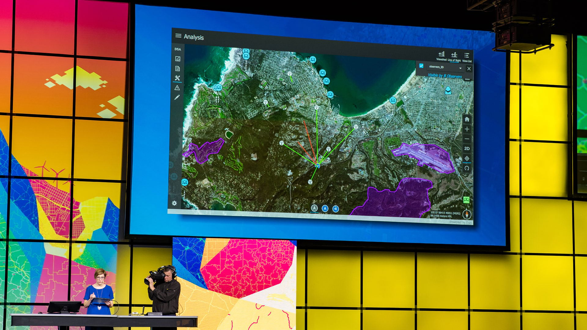
At the 2019 Esri Developer Summit, attendees learned how to best work with Esri technology and how their creations foster positive change.
Built on ArcGIS technology, the Easy2Hike app helps hikers, bikers, and equestrians plan hikes and learn more about their surroundings.
Kuwait University is building a new campus: Sabah Al-Salem University City. GIS has been the backbone of the project since its inception.
The focus of three new Esri books will be how to use GIS for science, smarter government, and the census with a fourth devoted to geodatabases.


