displaying 4314 results
Alternative text in ArcGIS StoryMaps makes content more accessible to those with limited vision.
Discover how GIS is being used to create more resilient communities, systems, and infrastructure in this MOOC.
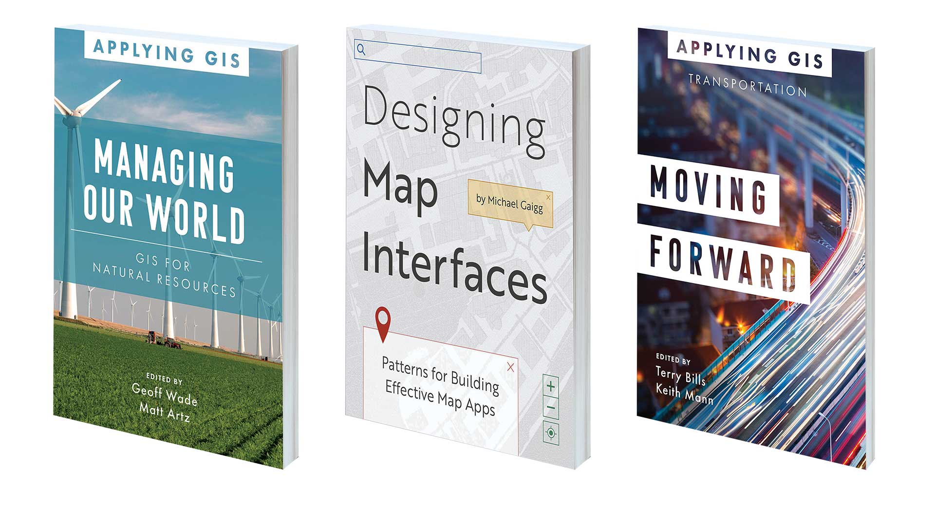
Book on using GIS to manage natural resources, optimize transportation, and design effective map apps
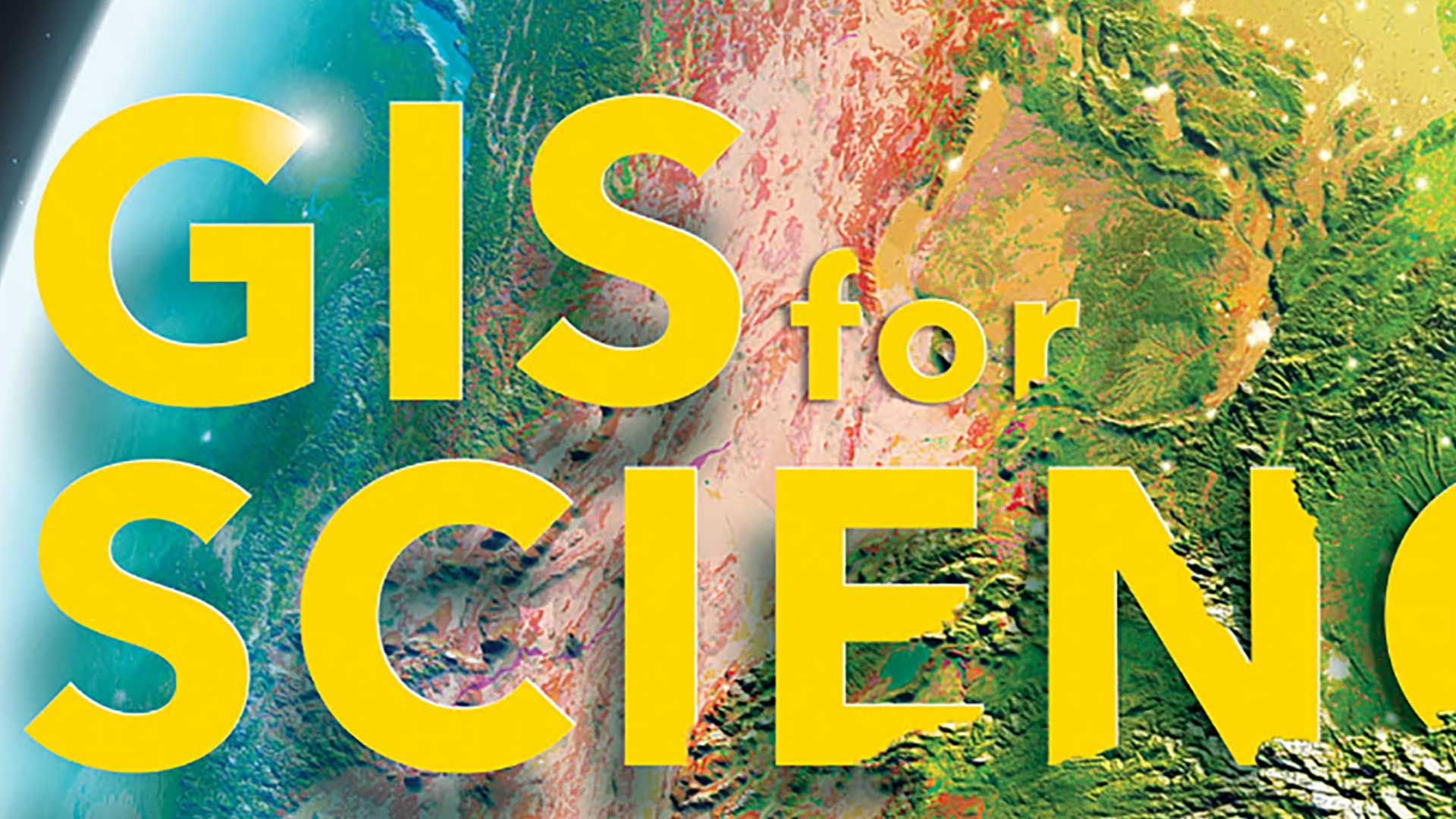
The GIS for Science series, published by Esri Press, illustrates how GIS is being applied to scientific research.
Sid Pandey shares tips on taking charge of your career and raise your profile.
Ed Prizes is a series of competitions managed by Luminary Labs under US Department of Education contracts.
GIS coordinator Zach Jaffe urges new GIS professionals using networking to build their careers.
Know how to save the settings for layers and maps will save you time.
Advances in GIS technology give the world hope in the face of the challenges caused by climate change.
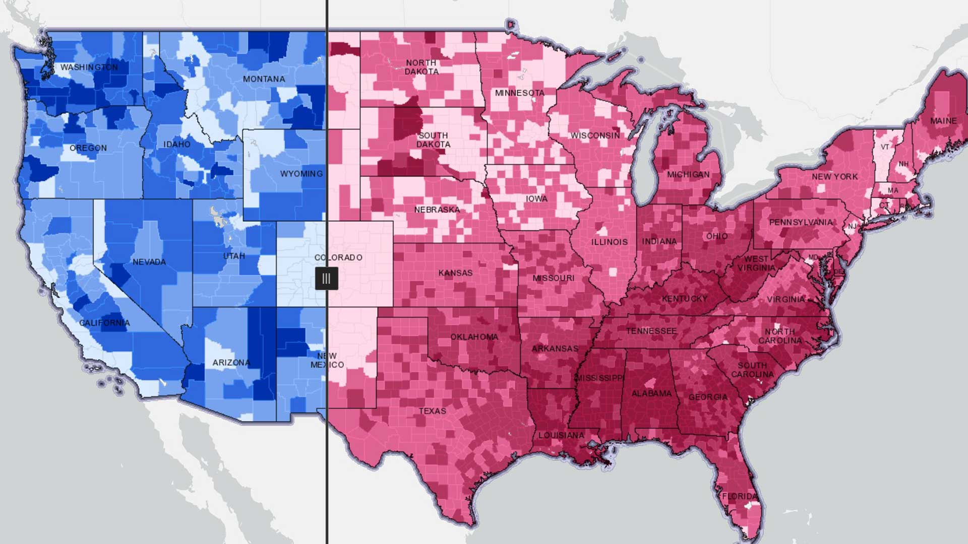
An index is a thoughtful combination of two or more numbers that give us a single measure to use and indexes can be used to build maps.
Fast growing Prague struggles to reconcile economic dynamism and historic preservation.


