displaying 4314 results
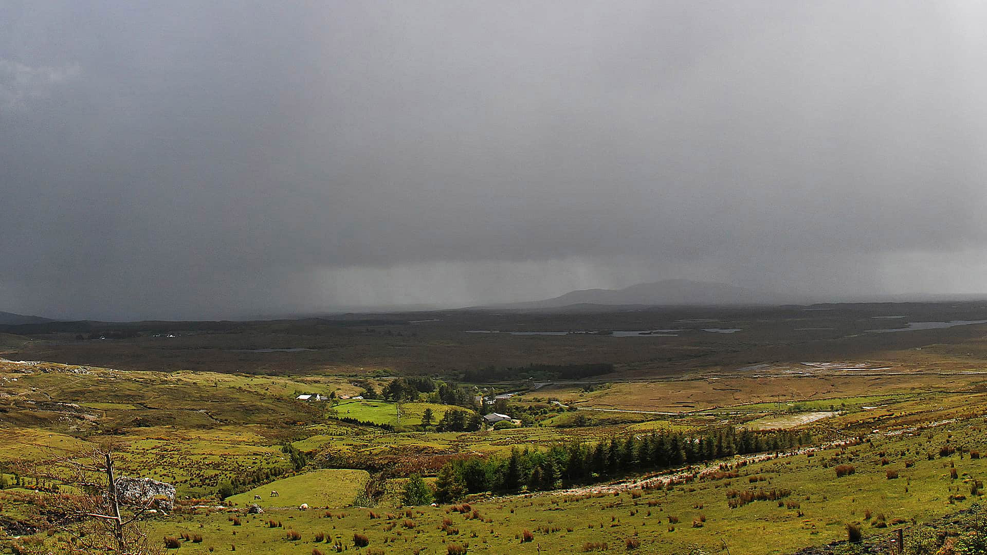
The Cork County Council in Ireland uses ArcGIS Online to monitor traffic and infrastructure problems during severe weather.

Mark Gallant, founder of EntertainMaps.com, shares a tip on how to use firefly symbology from Esri to make custom point symbols on maps.

Esri technology evangelist Bern Szukalski shows you how to add and use photos and other images in ArcGIS Online,

A new bike route map app powered with Esri ArcGIS will take you places in San Diego County.

The Nature Conservancy uses Esri ArcGIS to power its suite of online mapping decision support tools, which organizations can use to prepare...

Esri is hiring people with all levels of experience for positions at its headquarters, regional offices, and R&D Centers.
The collared peccary of Ecuador and the black-backed jackal in Kenya act differently in their natural habitats than in a zoo.
Two years before GIS maps were used as evidence in a murder trial in Kent County, Michigan, prosecutors there got their first glimpse of how...
Esri partners and distributors are busily creating apps that will expand what you can do using ArcGIS Online. These three apps and many others...
Technology Provides the Tools
Managing GIS, a column from members of the Urban and Regional Information Systems Association
Esri is hiring people with all levels of experience for positions at its headquarters, regional offices, and R&D Centers.