displaying 4189 results
Esri software users from around the world send in photos documenting their travels and accomplishments while wearing Esri T-shirts.
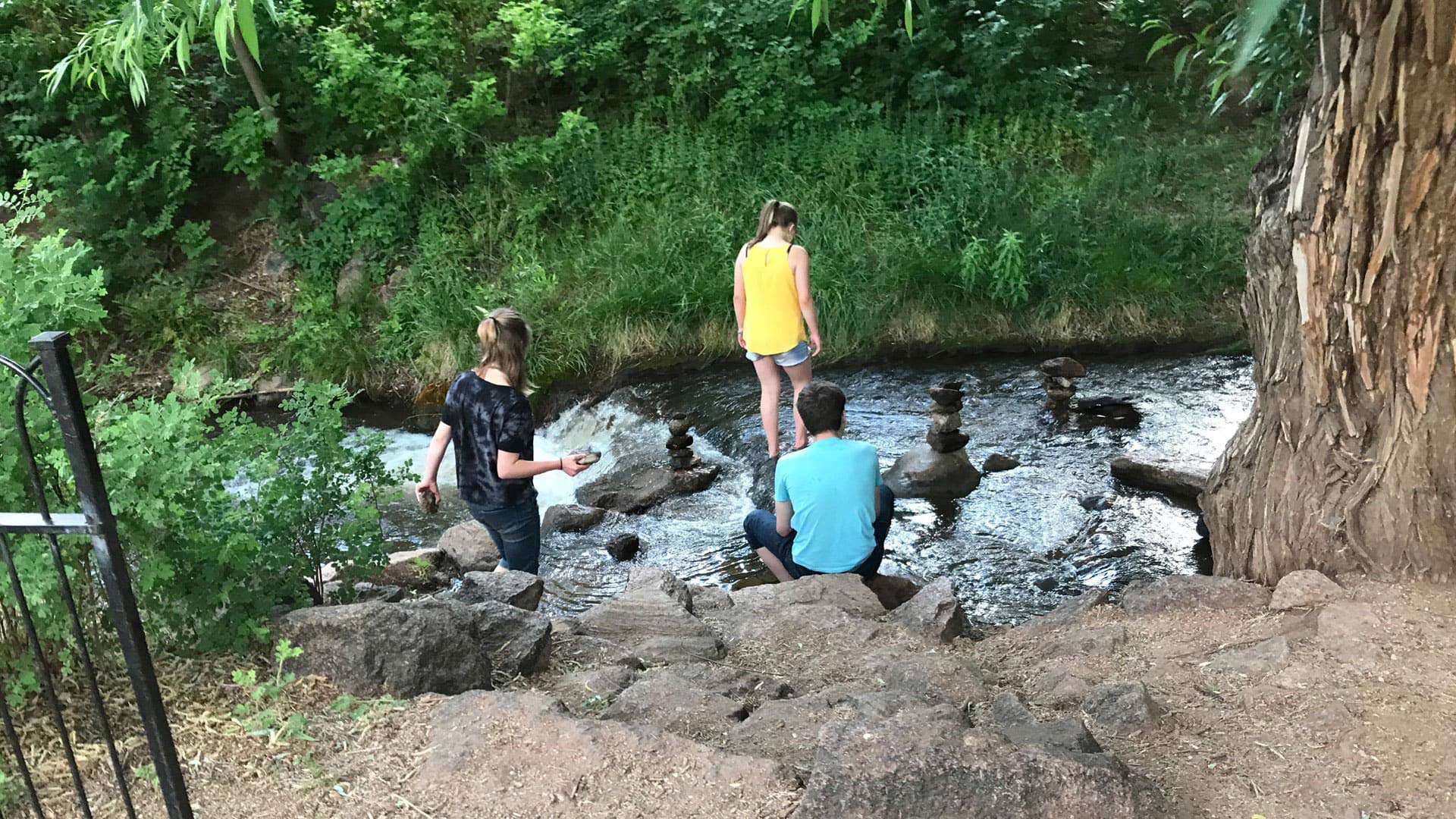
Manitou Springs, Colorado, is employing ArcGIS technology to create walking, biking, shopping, and running routes along a picturesque creek.
When a presenter positions a world map locally, how do attendees from other regions experience the map and the information it exhibits?
Livia Betancourt Mazur experimented with creative styles, finally using the George Washington style to make a map of the University of Minnesota.
Esri will require TLS 1.2 connections for ArcGIS Online services as of April 16, 2019 for security reasons. You may need to take action sooner.
Manitou Springs, Colorado, used geodesign and GIS to involve the community in the site selection process for a walking and biking trail.
Over the next decade, geography and GIS will gain even more prominence. Here’s how to prepare yourself for careers in these fields.
Managing GIS, a column from members of the Urban and Regional Information Systems Association.
Esri software users from around the world send in photos documenting their travels and accomplishments while wearing Esri T-shirts.
The Relevance of Cartography: A Cartographer's Perspective
Known for its rugged beauty, Wyoming is a place where cowboys and wildlife still roam the plains.
The Washington State Department of Labor and Industries (L&I) is responsible for ensuring and maintaining the safety, health, and security of...


