displaying 4189 results
The Minneapolis Star Tribune newspaper offers its advertisers business consultation services, including location intelligence powered by GIS.
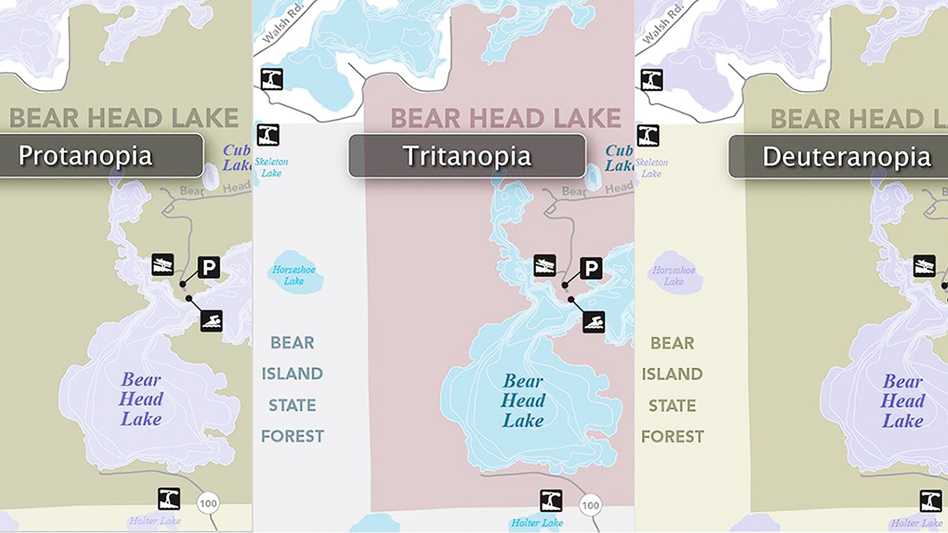
A statewide team ramped up digital accessibility efforts created an online resource center that can help anyone make accessible maps.
The US Vessel Traffic web map—built with ArcGIS API for JavaScript—lets you see vessel paths in and around United States waters over time.
Take a look back at the Tōhoku earthquake and tsunami in Japan and see the new GIS technology you can use to analyze these types of events.
The winners have been announced in the 2020 ArcGIS StoryMaps Competition for the Sustainable Development Goals.
Geographers can serve as interpreter for local interests while speaking for underrepresented communities during the redistricting process.
Featured books from Esri Press focus on several topics including land and park conservation, emergency management, and crime mapping.
The government of Queensland, Australia, use ArcGIS AppStudio to help keep its residents and wildlife safe.
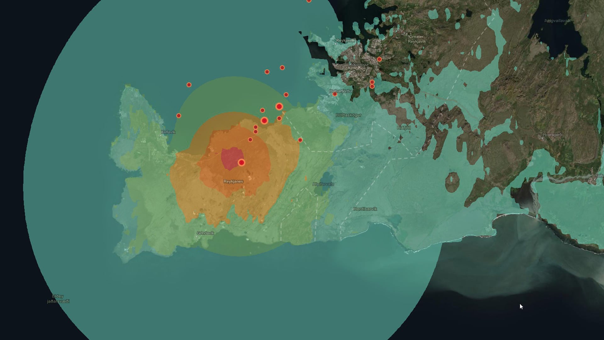
ArcGIS Living Atlas of the World content can be used to explore current events such as earthquakes.
Learn to manage ArcGIS Online organizational account members, including assigning and unassigning licenses and adding members to groups.
People from all over the world had extra special virtual celebrations for GIS Day on November 18, 2020, despite the COVID-19 pandemic.
Dr. Adegoke Ademiluyi, professor at Fayetteville State University, has turned geospatial education into a high-profile degree program.


