displaying 3032 results

GIS and facility mapping provide powerful insights into how we use, manage, and design our built environment.
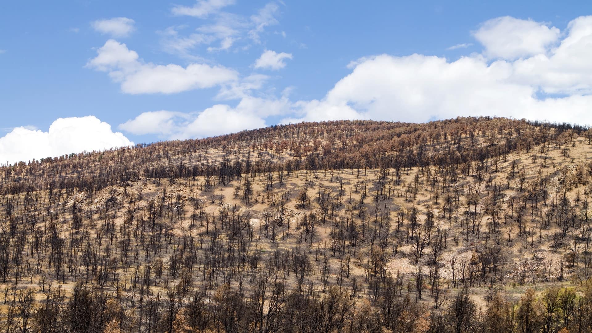
A shared map enabled foresters and land managers to devise a collaborative and science-informed plan to reforest the Camp Fire burn scar.

Miami Beach, Florida, is one of the most vulnerable areas for sea level rise in the United States.
There is often a disconnect between what’s happening in the field and the office. With Tracker for ArcGIS, that’s no longer the case.

To better plan, build, operate, maintain its transportation infrastructure, the Bavarian State Building Administration uses Insights for ArcGIS.

American States Utility Services implemented the ArcGIS Data Reviewer extension to ensure operational integrity and efficiency
For informed planning, GRCA applies classic principles of geodesign, using robust tools to design and evaluate structures that work in harmony...
Northern Ireland's Strangford Lough & Lecale Partnership
If your organization has a qualifying Esri product and is current on maintenance, your users will have unlimited access to Esri’s self-paced…

The digital twin may help supply chain operators serve an increasingly empowered consumer—and gain a seat in the boardroom.

The National Audubon Society adopted an enterprise approach to GIS that uses ArcGIS for Server to improve the way it collects and manages data.
Operations managers, planning and logistics specialists, and incident commanders frequently rely on the real-time flow of information to get...