displaying 4190 results
Washington state helped essential workers navigate to available childcare, while Seattle helped connect consumers to essential businesses.
Location intelligence helps investigators trace COVID-19 infection routes, implement control measures, and gauge their effectiveness.
The San Juan County Sheriff's Office created an easy-to-use, map-based app to address outstanding felony warrants.
Seattle uses GIS to understand the implications of its gangbuster growth on land and people.
Enerjisa DC, the largest electric utility in Turkey, uses GIS to locate maintenance issues in remote places that are difficult to access.
Protect Our Winters uses GIS to research the economic impacts of low snow totals, using dollars and cents as a motivator in their outreach.
The Presbyterian Church set out on a mission to document the forces pushing Hondurans, Guatemalans, and Salvadorans to leave their home countries
At the Esri Ocean GIS Forum in November 2014, Esri announced the integration of ArcGIS with SciPy, a software library that helps scientists, eng…
GIS captures and presents a detailed digital twin to virtually guide the planning decisions of the nation’s capital.
Small public utilities leverage GIS to better manage their water networks-going from reactive to proactive.
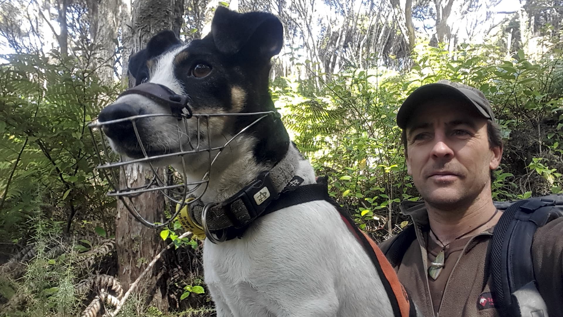
Connecting traps to maps provides a tactical advantage for conservationists in their battle against New Zealand’s predators.
Knight Frank, a property consultancy, uses 3D models to envision rooftop development to help tackle London’s housing crisis.


