displaying 4190 results
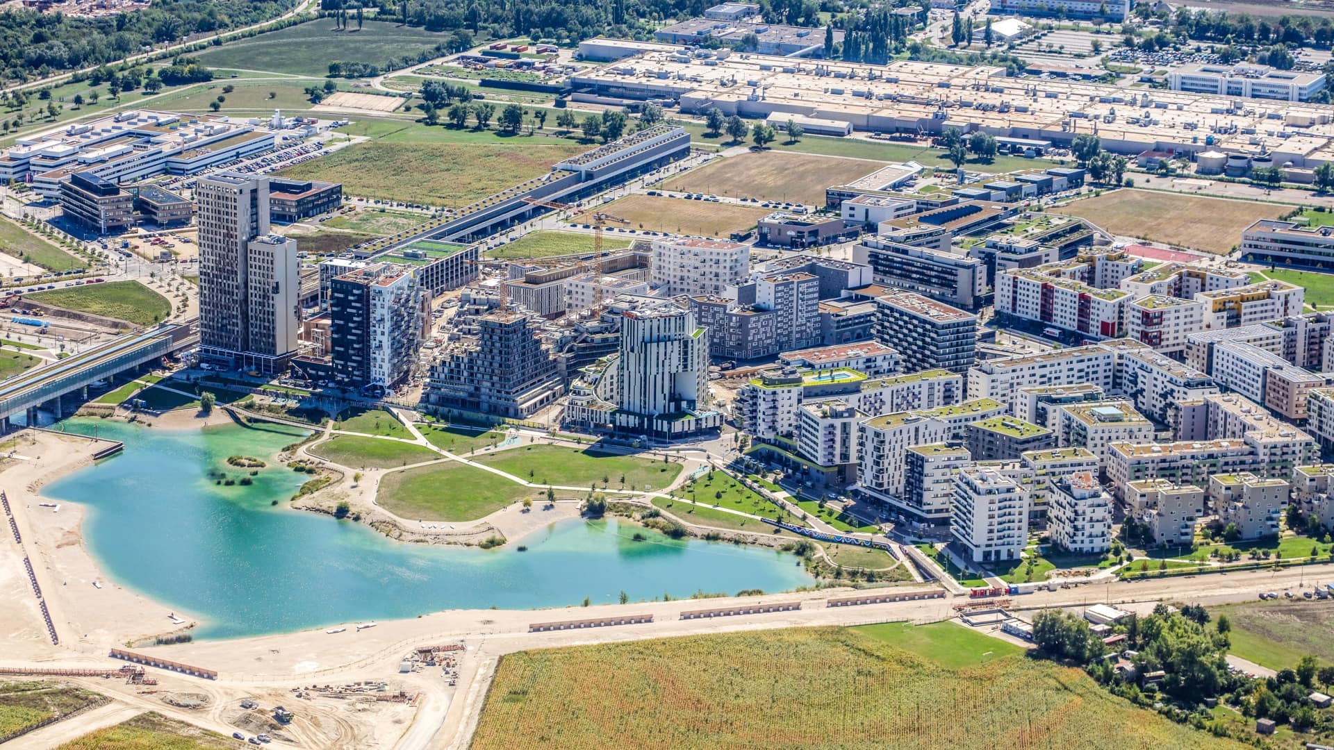
Mapping tools help the City of Vienna and its partners test and apply smart city concepts to the aspern Seestadt planned development.
Planners sought ways to rezone a rural neighborhood in Kauai as an urban district, plotting its future while preserving its past.
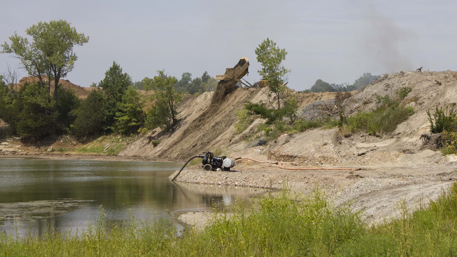
The Superfund Redevelopment Mapper makes sites visible to developers along with insights into reuse possibilities.
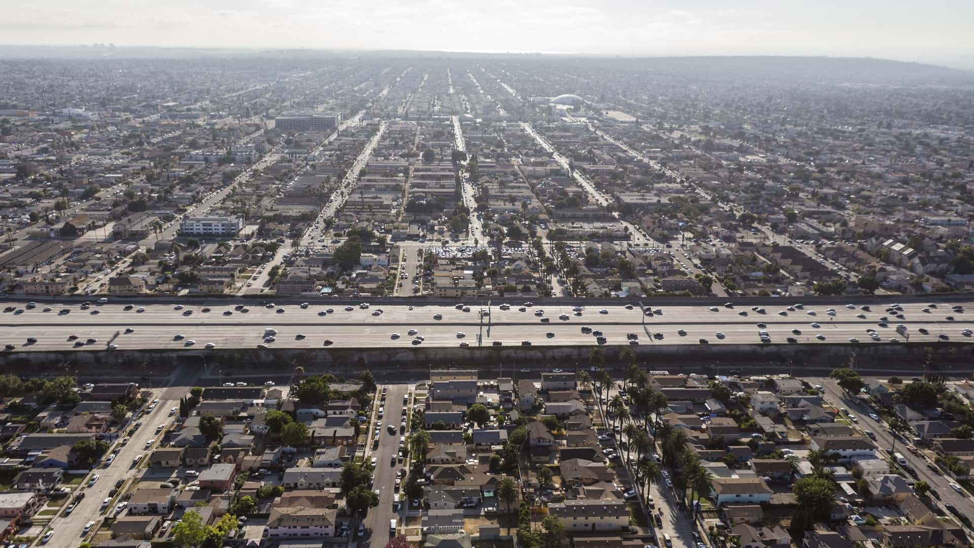
Maps help imagine a new future decades after the construction of US highways systematically displaced people of color.
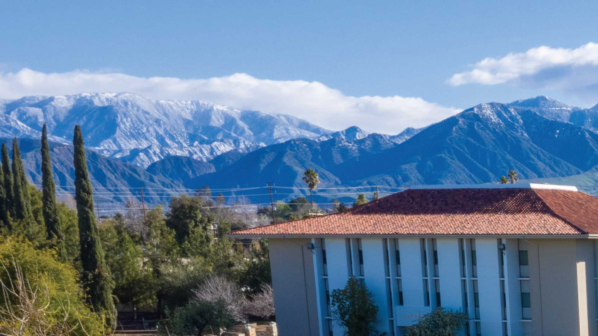
Master's programs at the University of Redlands, California prepare students to excel in GIS careers.
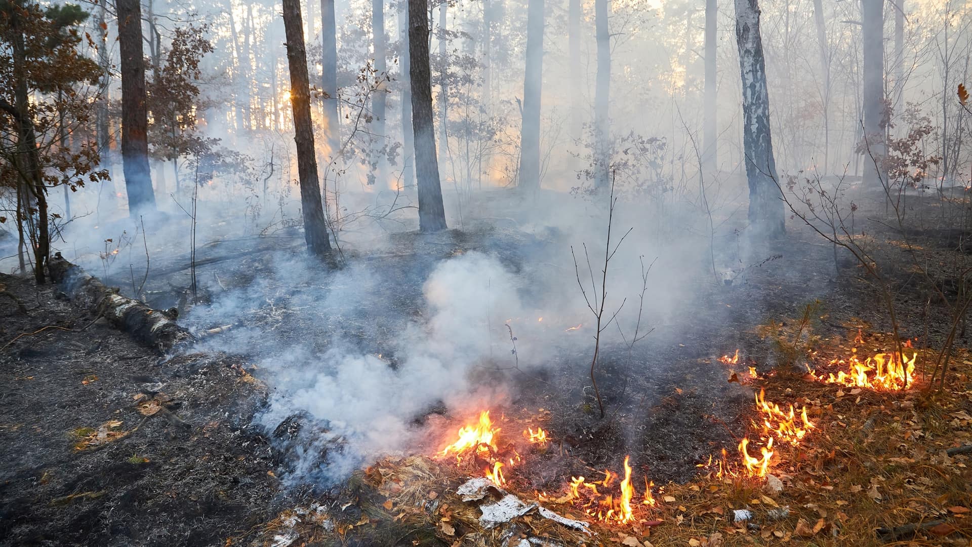
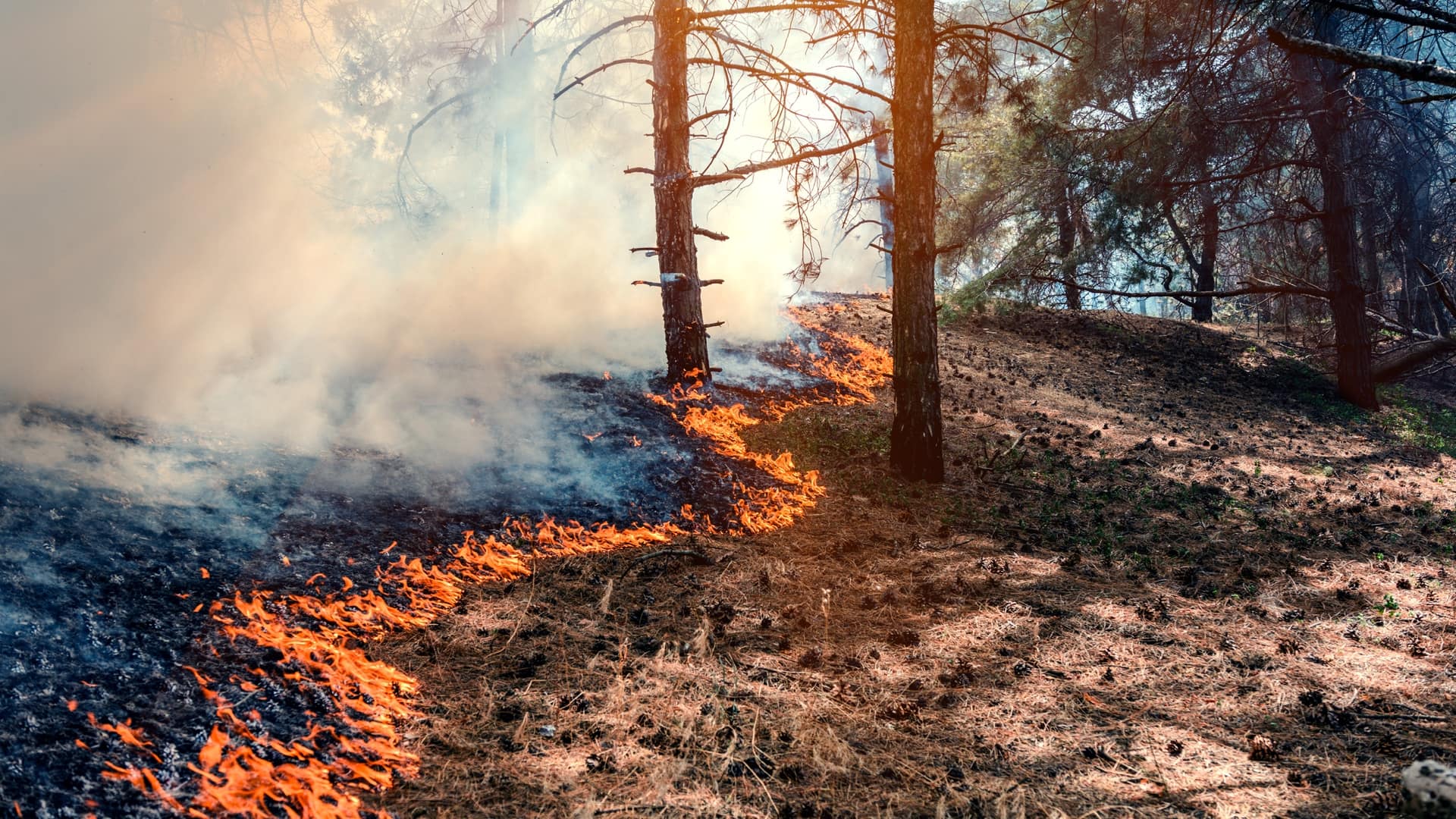
Wildfires will continue, and they are necessary for ecological health across landscapes, but there’s a lot we can do to tamper the extremes.
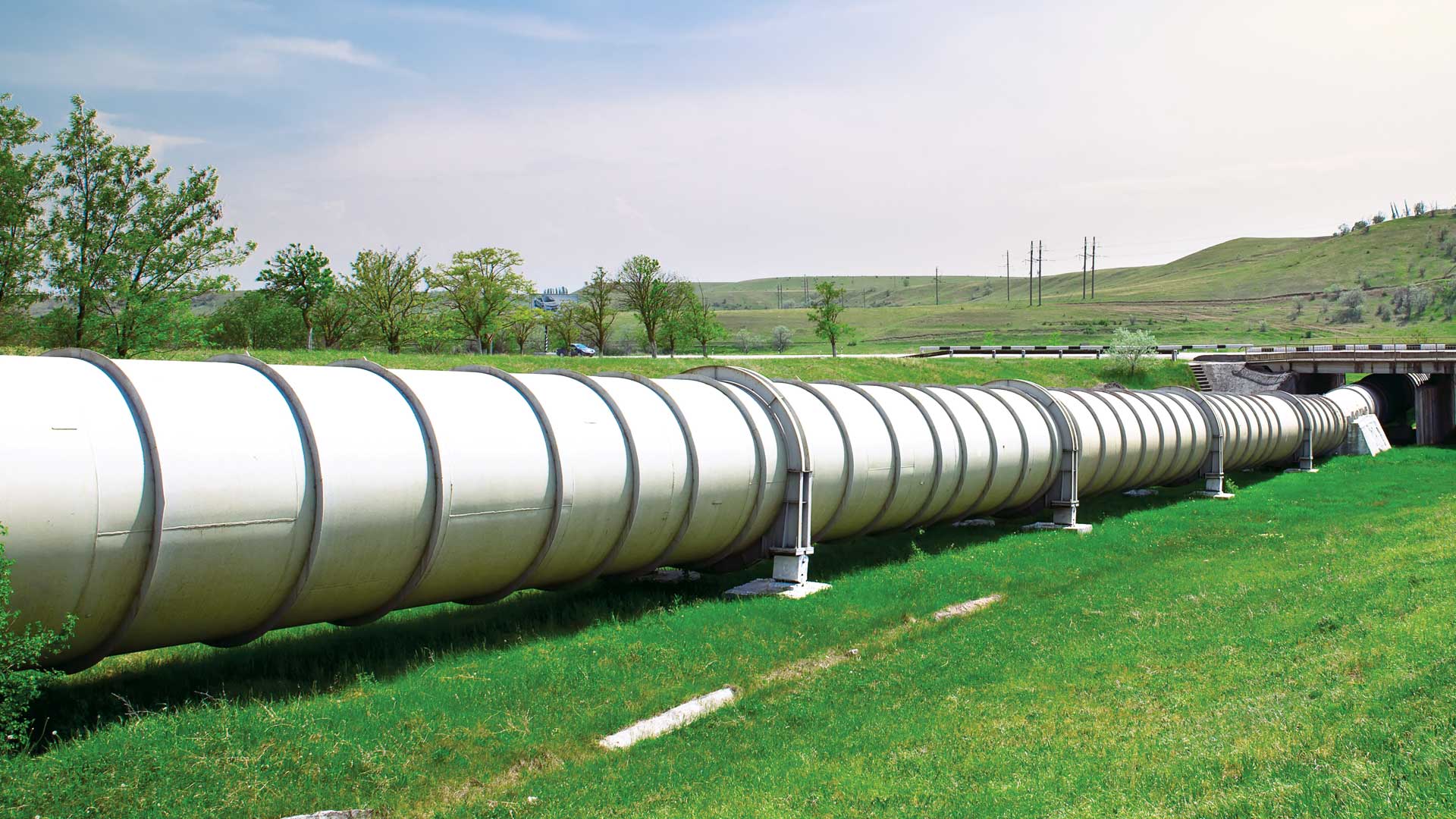
Linear referencing now in ArcGIS Field Maps for inspecting roads, pipelines and railways.
Nature and Culture International established a market for buriti fruit, mapping to increase native palms and aid indigenous livelihoods.
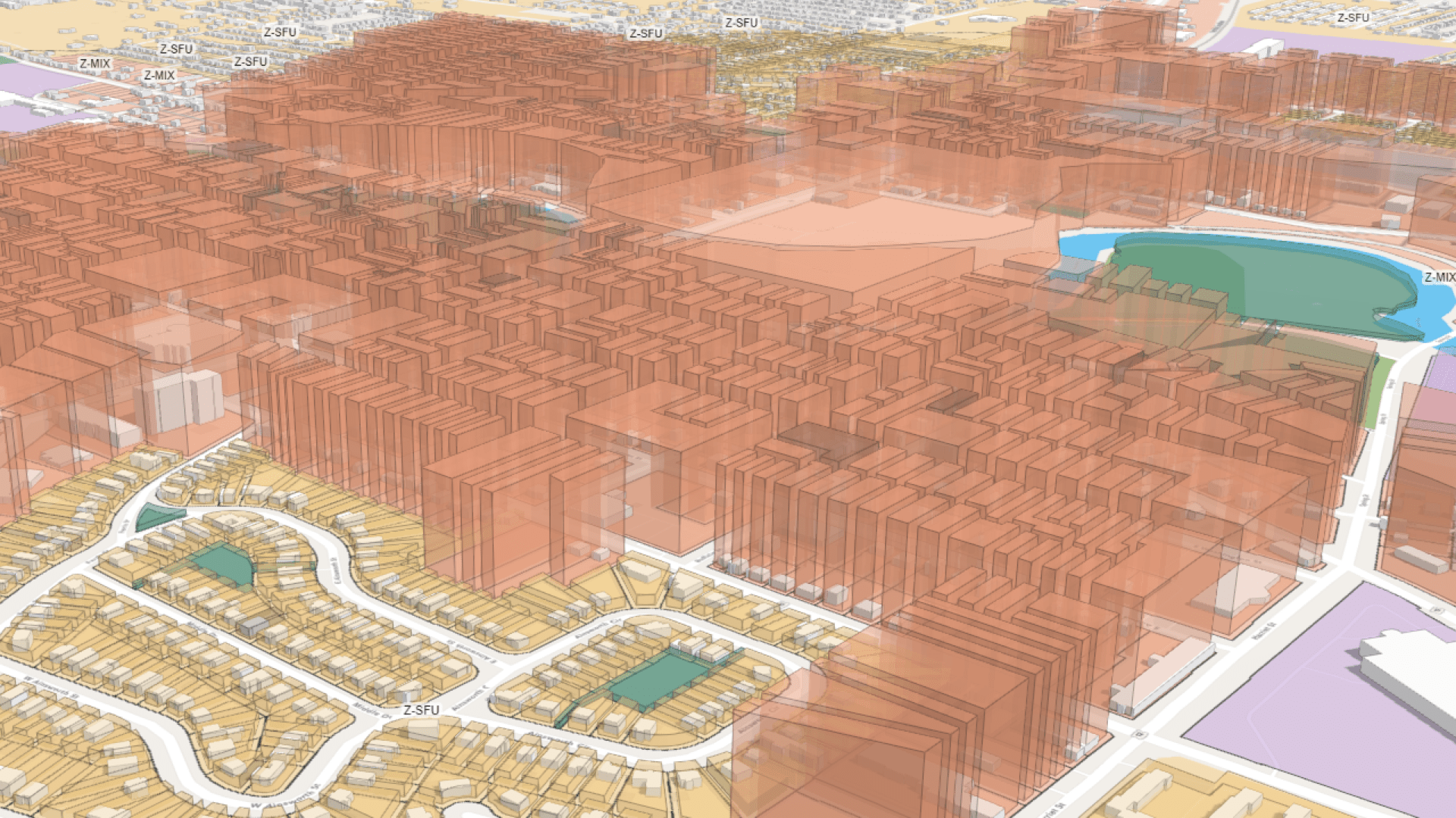
A digital twin for the Detroit region shows in 3D the development planned for the next 30 years.
Caving experts from around the world and more than 10,000 Thai volunteers came together using maps to conduct an awe-inspiring rescue.
The Karuk Tribe maps their land to rebalance it, using maps to guide ecological restoration and eco-cultural revitalization.
Mappers with The HALO Trust document the destruction in Ukraine to assess risk from unexploded ordnance ahead of reconstruction effort.
