displaying 4190 results
Just as the public starts to wrap its head around self-driving cars, entrepreneurs are testing self-flying taxis.
A study reveals a new metric for executives to assess: how religious are the places where they intend to do business?
A pilot program in India is bringing succor to a critical industry and surety to insurers.
With food waste costing retailers billions, precision tracking of perishables could disrupt the produce supply chain.
Supermarket chain Aldi will add nearly 900 U.S. locations. The company’s ability to find the right locations will determine its success.
In the fickle world of consumer trends, sometimes knowing where a fad has erupted, and with whom, is more important than knowing why.
Naftali Honig from African Parks talks about how conservation intelligence can protect animals from poachers.
ArcGIS Pro 3.3 introduces new AI-enhanced experiences to help find the right tools for geoprocessing workflows.
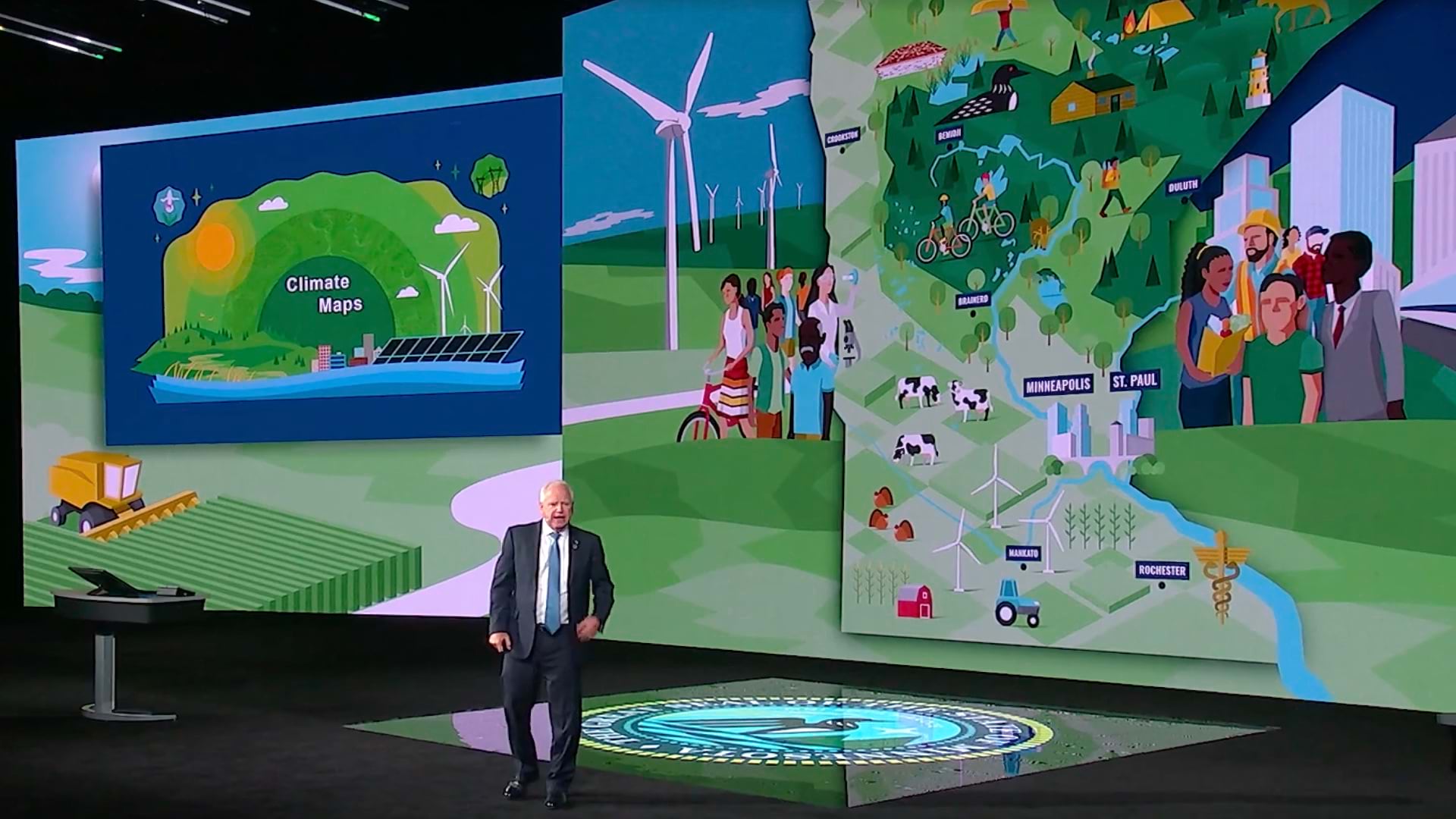
Minnesota Governor and Democratic vice-presidential candidate Tim Walz understands and advocates for a geographic approach to policy.
US Southern Command (SouthCom) developed Enhanced Domain Awareness (EDA), an innovative GIS-powered maritime security tool.
GIS helps the DC Office of Planning understand, plan, and communicate zoning changes to historic districts.
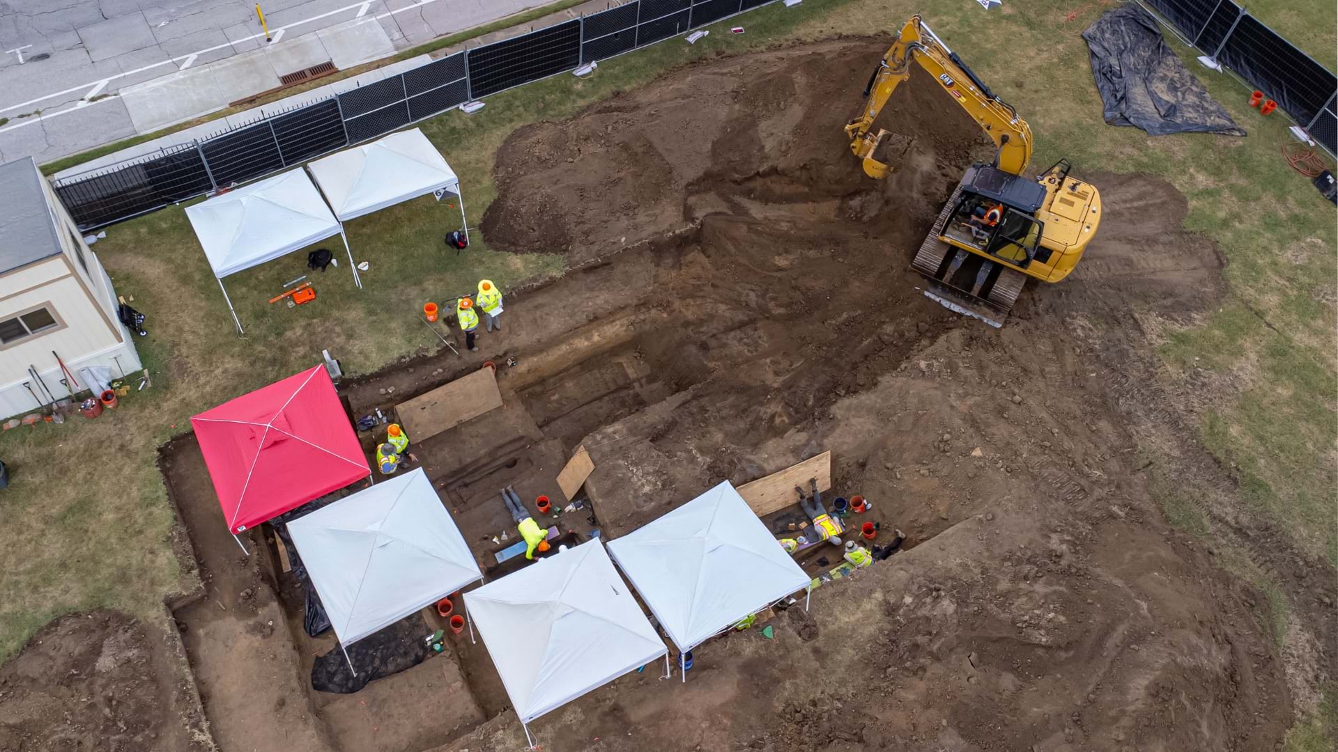
Families and preservationists across the US are using mapping and remote sensing technology to locate and document lost Black cemeteries.


