displaying 4562 results
A water district created an app to improve its capital improvement plan (CIP) to better understand and control costs and operate efficiently.
In his keynote address to the 2023 Esri User Conference, Dr. Richard W. Spinrad introduced event attendees to the New Blue Economy.
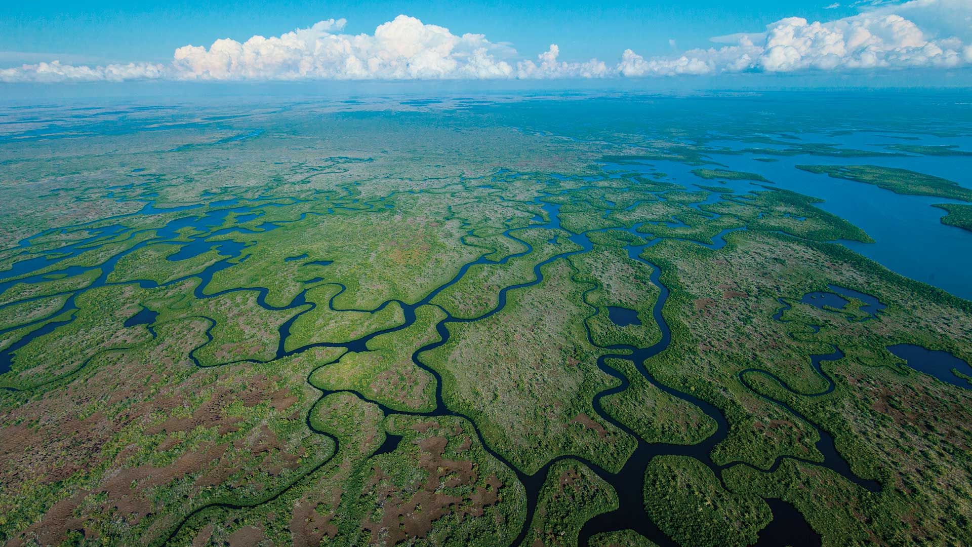
Two Florida government organizations used GIS to coordinate efforts to protect native animals from predation by the Burmese python.
ArcGIS AllSource aids in combating the opioid overdose epidemic by linking
West Chester University (WCU) is helping students get ahead by meeting workforce needs using locational analytics in its programs.
2020 demographics in ArcGIS Living Atlas of the World; Esri partners with Databricks; Rwanda Space Agency signs MOU with Esri.
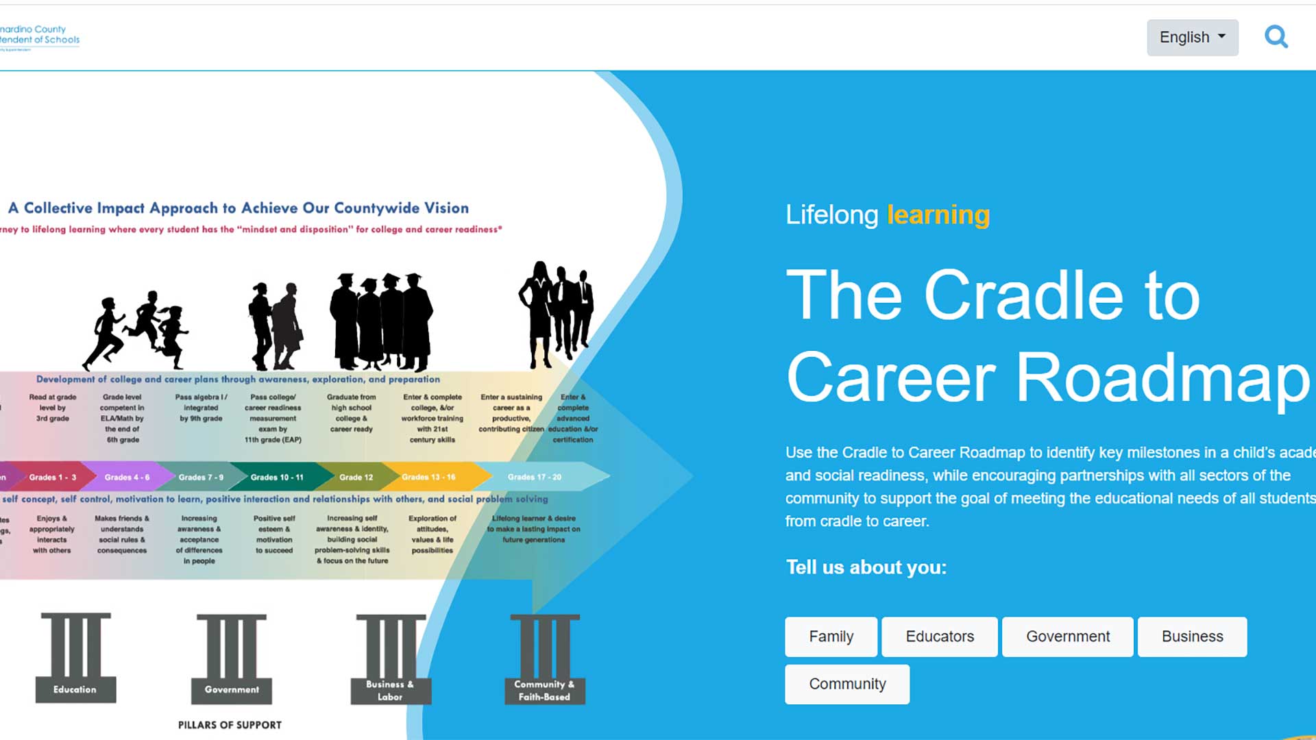
A county superintendent of schools office and its school districts share information to prepare students for college and the workplace.
Best practices for building effective and targeted dashboards.
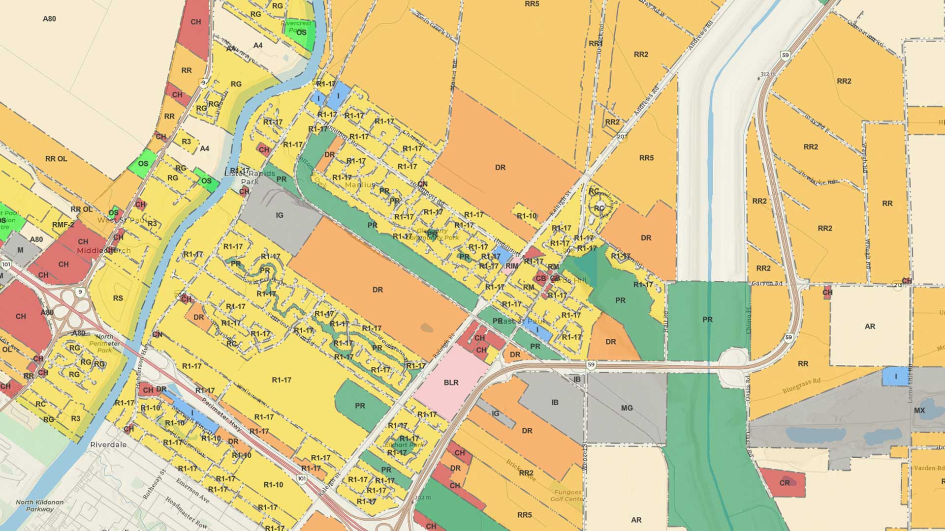
As the need for zoning reform becomes more pressing, GIS is critical to its implementation.
Differential correction techniques for data collected using global positioning system (GPS) explained.
Now content can be directly transferred between users in an ArcUser Online organization.


