displaying 4190 results
Esri cartographer John Nelson used ArcGIS Pro and data from the National Oceanic and Atmospheric Administration (NOAA) to help him...
Chevron used Esri technology to develop its web-based Map Hub, which is used within the organization to visualize and analyze data...
Operations Dashboard for ArcGIS can be configured for assessors who want to view the latest assessment data on a single screen via maps, charts..
You can create market opportunity maps using demographic data available in ArcGIS Living Atlas of the World and ArcGIS Online capabilities.
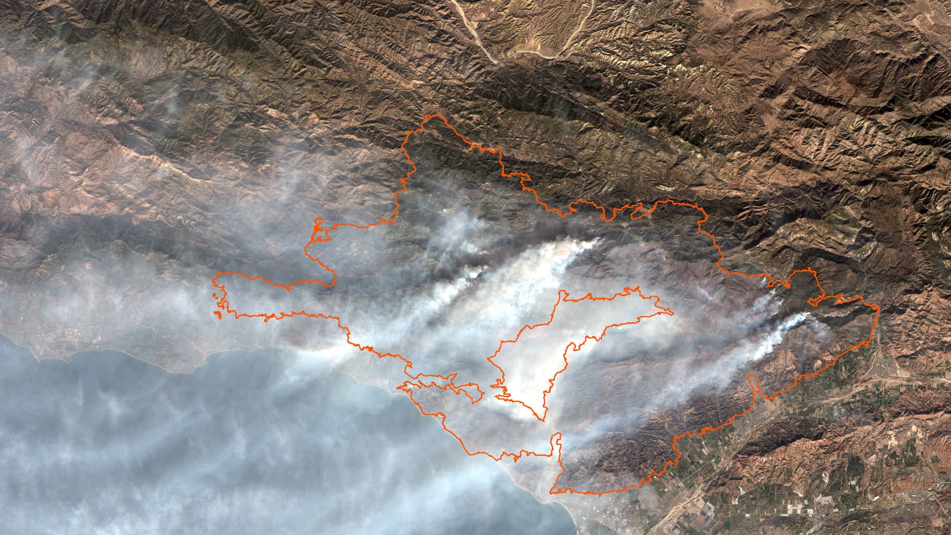
Study several aspects of the Thomas Fire by using ArcGIS Online analysis tools and data from ArcGIS Living Atlas of the World.
ArcGIS API for Python helps you with visualization and analysis, spatial data management, and GIS system administration tasks.
Combined with the latest release of Esri's Collector for ArcGIS, ZenoCollector from Leica is an all-in-one, high-accuracy data collection...
Sensor data collected by the US Navy's unmanned vehicles will be visualized and analyzed using Esri technology.
Is your enterprise GIS running as smoothly as possible? Esri’s new ArcGIS Monitor will tell you. It collects data and information on the usage...
The new Esri Training course, Spatial Analysis with ArcGIS Pro, covers the latest tools to explore data, find optimal locations...
Esri and Mobileye are collaborating to collect and analyze visual and telematics data from bus and vehicle sensors, producing information that...
ArcGIS Hub helps communities use open data and citizen input to create initiatives that tackle issues such as opioid addiction...
