displaying 4314 results

Physicist Geoffrey West says that, despite being a source of problems, cities generate innovation and thrive...
Snorkelers, scuba divers, and beachgoers who spot sea turtles can help scientific researchers learn more about the elusive and often endangered..
You can create bookmarks in ArcGIS Pro, which will save you precious time when you are working on a project.

Find out how to create Python scripts for ArcGIS, get started with Insights for ArcGIS, configure web apps, build a learning plan, and more.
Meet the 2018 Esri Storytelling with Maps Contest winners, who used the apps to tell stories about a Rohingya refugee encampment...
Stories about five GIS Day celebrations underscore the important role geospatial technology plays in better understanding planet Earth.
This tip just might end up being one of your all-time favorites. The release of ArcGIS Pro 2.0 in June 2017 gave you the ability to save and ...
Smith College professor Jack Loveless introduces students to GIS through his course, Mapping Our World: Introduction to GIS...

GIS Hero Larry Orman forged a career that set the agenda for regional planning and conservation.

Not everyone can enjoy the beauty and usefulness of maps. There might be several reasons why.
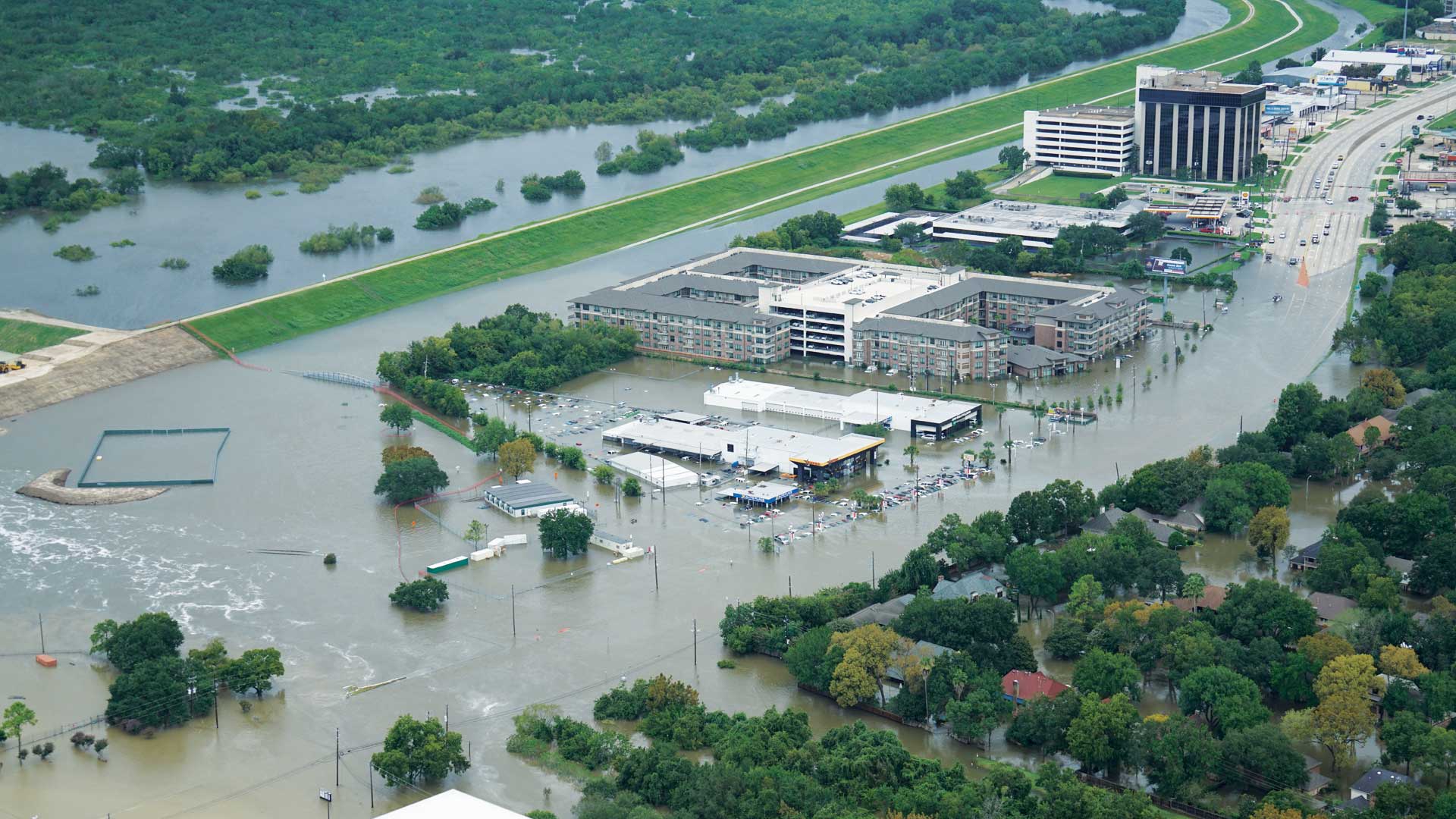
When Hurricane Harvey made landfall in Texas last August, several agencies were already creating inundation maps thanks to work by UT and Esri.
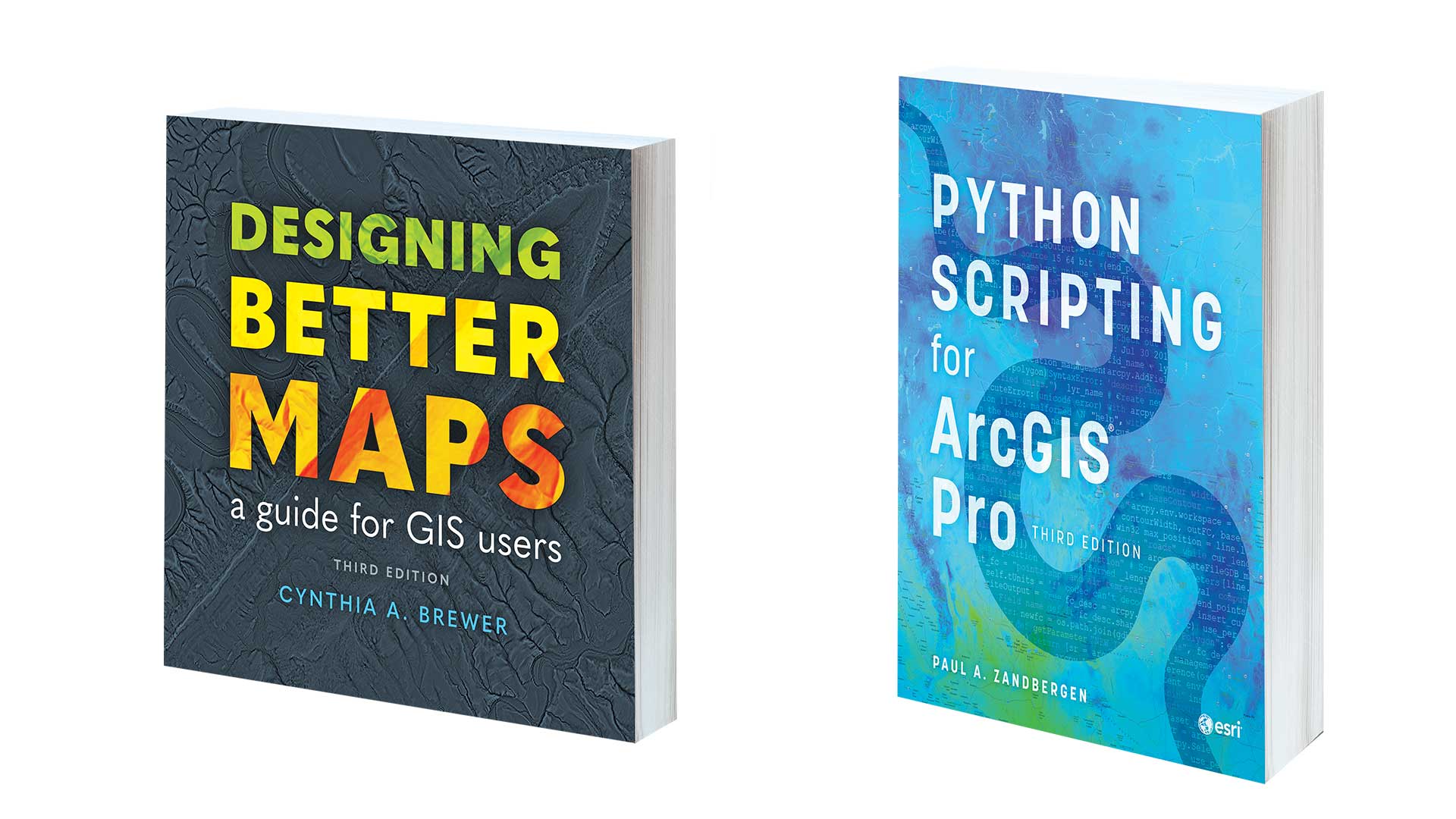
Designing Better Maps: A Guide for GIS Users, Third Edition and Python Scripting for ArcGIS Pro, Third Edition