displaying 4562 results
A comprehensive ArcGIS Enterprise solution now underpins all the cultivation and wine-making processes at Symington Family Estates.
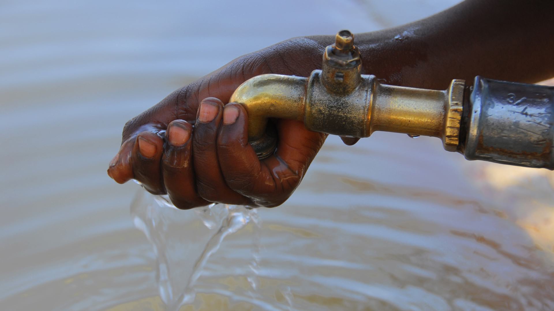
To identify areas with inadequate facilities, the organization used GIS at the village level—and is making progress in improving assets.
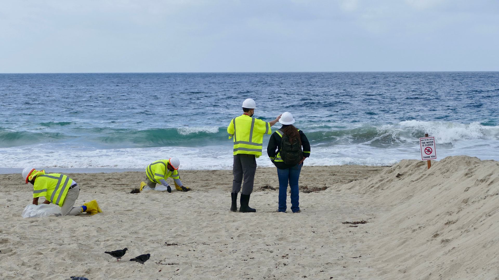
After 25,000 gallons of crude oil spewed into the Pacific Ocean, the Surfrider Foundation leveraged location to streamline data collection.
To minimize the hazards associated with driving through remote areas, Saudi Aramco designed a solution that tracks vehicles in real time.
ArcGIS Online has a new home page, so it's time to reconfigure it using the home page editor. Lynnae Terpstra from Esri shows you how.
To help new and expanding businesses select ideal sites for their ventures, the state’s government built a solution based on ArcGIS Pro.
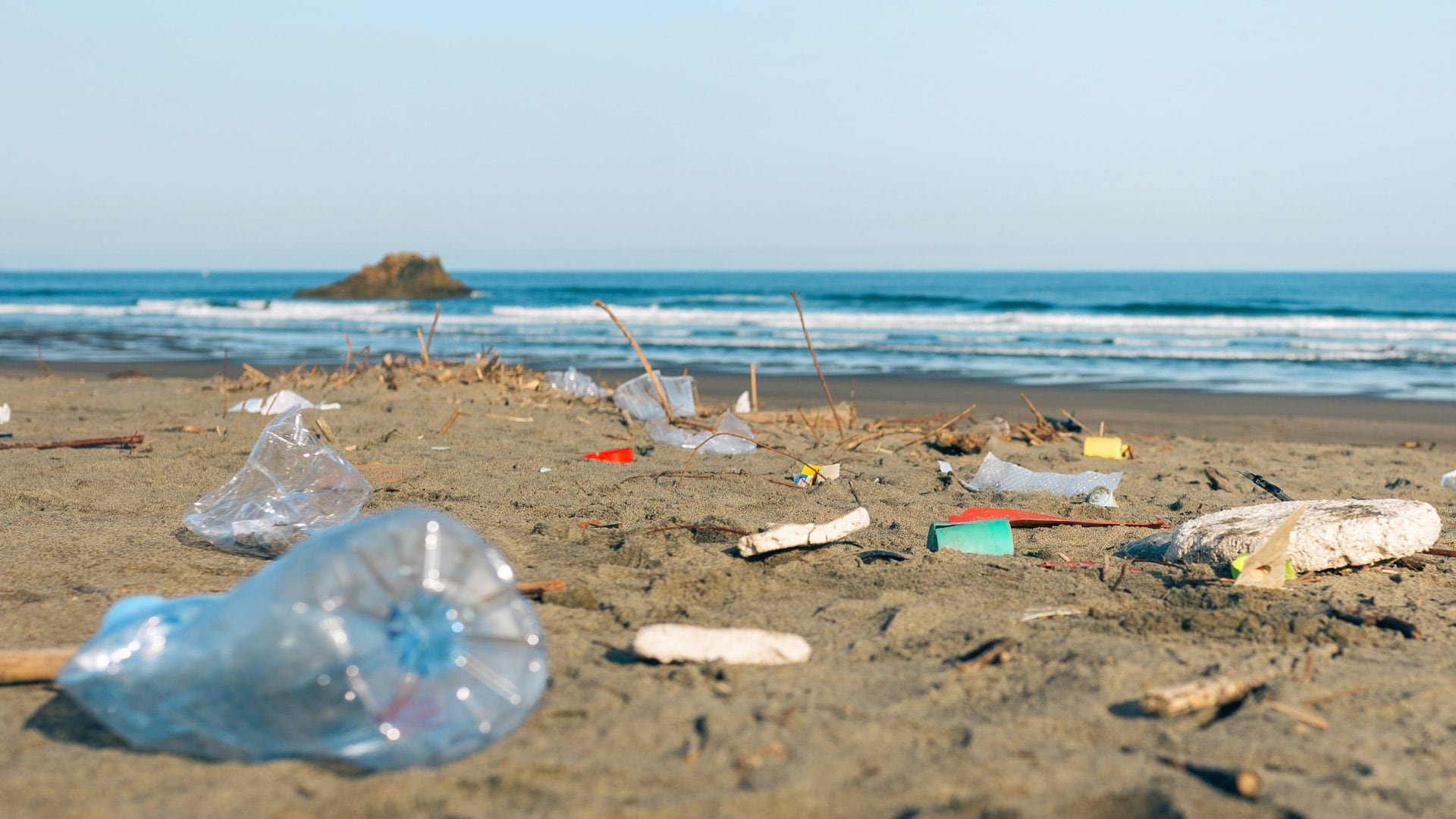
From collecting trash to modeling where winds and ocean currents take it, young people in New Zealand get inspired to take action.
To clear a peckish pachyderm from a Zimbabwean playground, researchers used chili oil and GIS. The results were remarkable.
The cloud-based platform helps organizations work together to respond to natural hazards and prepare for a more sustainable future.
Residents of Emerald Isle, North Carolina, use a GIS web app to find out when trucks collecting yard debris are in their neighborhood.
New learning opportunities from Esri Training include instructor-led courses on branch versioning and analysis workflows and several MOOCs.
The government of Queensland, Australia, use ArcGIS AppStudio to help keep its residents and wildlife safe.


