displaying 4562 results
Williams began using ArcGIS Monitor in 2018. But after recent updates to the software, Williams is now taking advantage of its new capabilities.
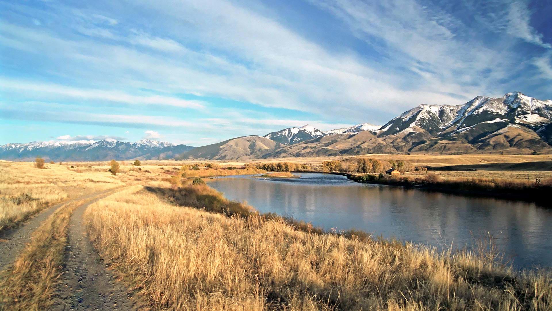
The DNRC’s app allows users to easily examine the state’s surface water locations and get detailed reports about streamflows.
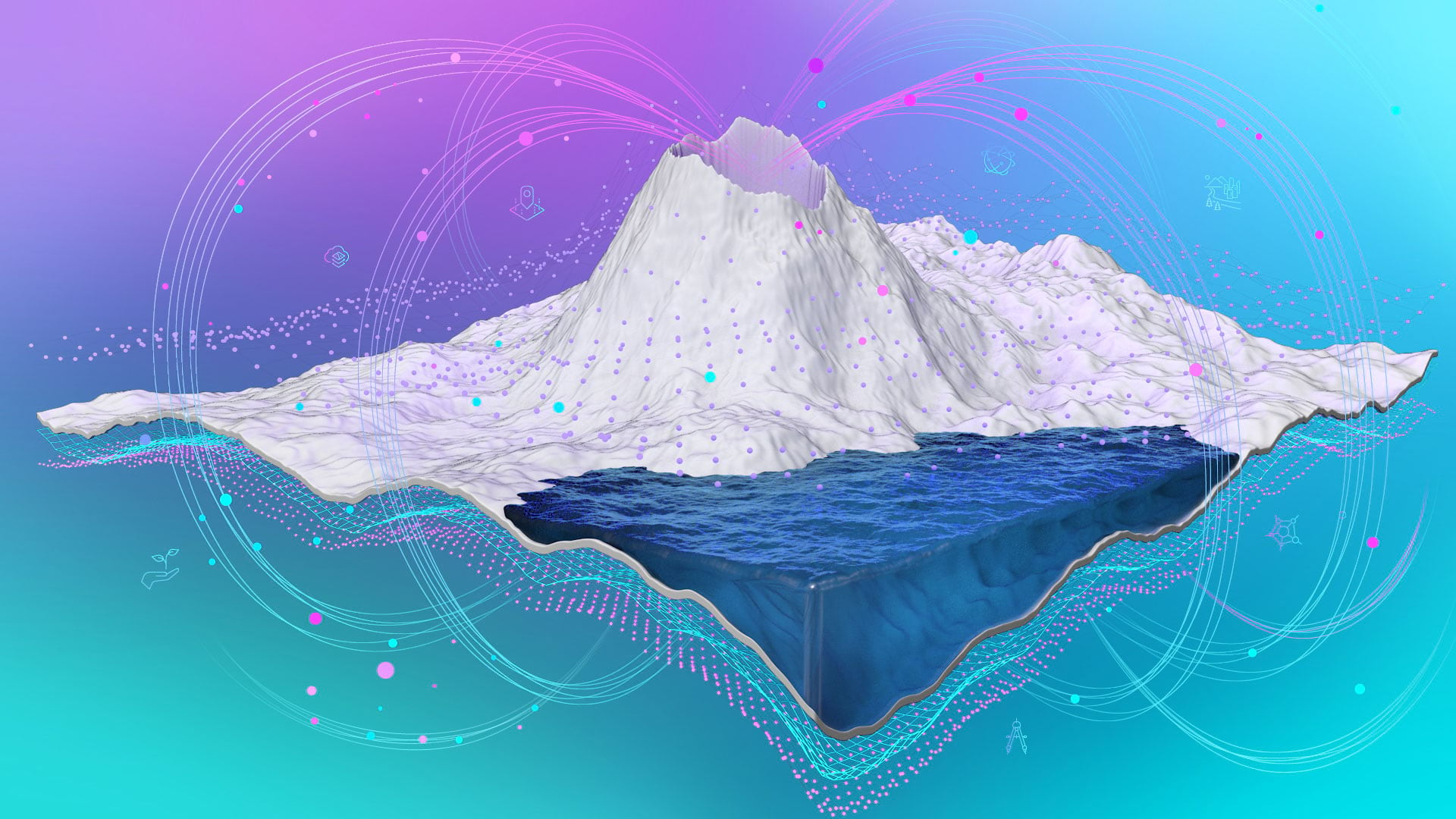
Released in beta in November 2023, ArcGIS Knowledge helps organizations connect, analyze, and visualize large amounts of data.
Join URISA’s Policy Advisory Committee, which monitors policies making their way through governments and often influences outcomes.
To prevent the potential dangers and harms seen with other AI models, GeoAI needs to abide by the principles of digital resilience.
ArcGIS Workforce doesn't just help the City of Sarasota process work orders—it's a framework for asset management, weathering storms, and more.
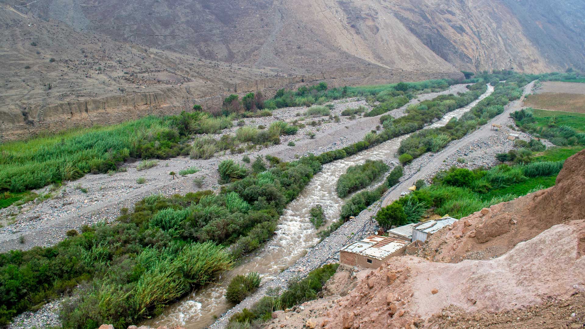
GIS-based 3D models are helping the Peruvian government rebuild public infrastructure after widespread flooding and plan for the future.
Geographers must lift the veil of historical exclusion by examining their discipline at various scales, empowering marginalized students.
Join Esri Academy’s free online course and learn how GIS can be a powerful tool for combating climate change.
Get advice on what to do before, during, and after the largest gathering of geospatial professionals in the world.
Find out how AllSource can be used in all phases of the cybersecurity cycle, from understanding a threat to analyzing and acting on it.
Esri president Jack Dangermond often emphasizes the importance of using the geographic approach for problem solving.


