displaying 4190 results
A civil engineering firm used ArcGIS to create a virtual reality tour to preview a proposed construction project.
The key metrics for technology projects are speed and rate of user adoption.
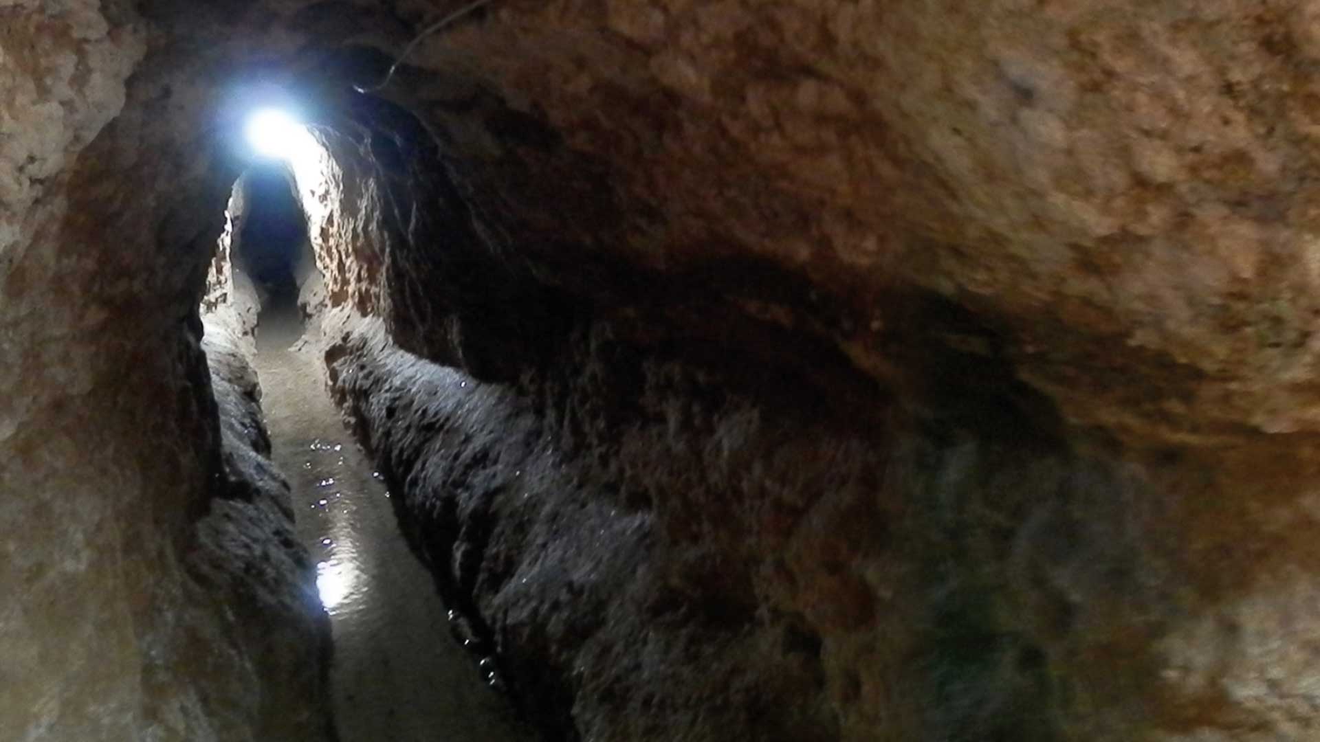
A graduate student used the deep learning capabilities in ArcGIS Pro to map ancient irrigation systems in the Middle East.
Technology is the backbone of successful mapping organizations that helps them be more productive.
The first virtual Esri UC—held in response to the coronavirus disease 2019 (COVID-19) pandemic—was attended by 88,000 people.
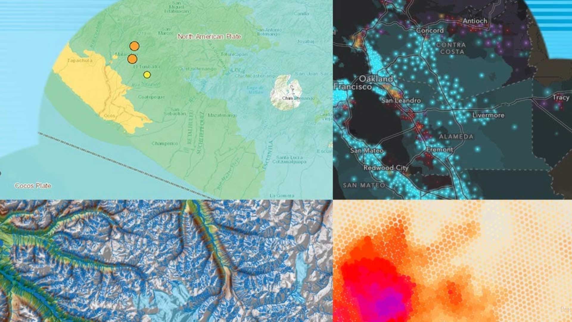
Esri’s Disaster Response Program (DRP) has been assisting with coronavirus disease 2019 (COVID-19) worldwide.
Make sure you app gets used and seen. Create is with mobile in mind.
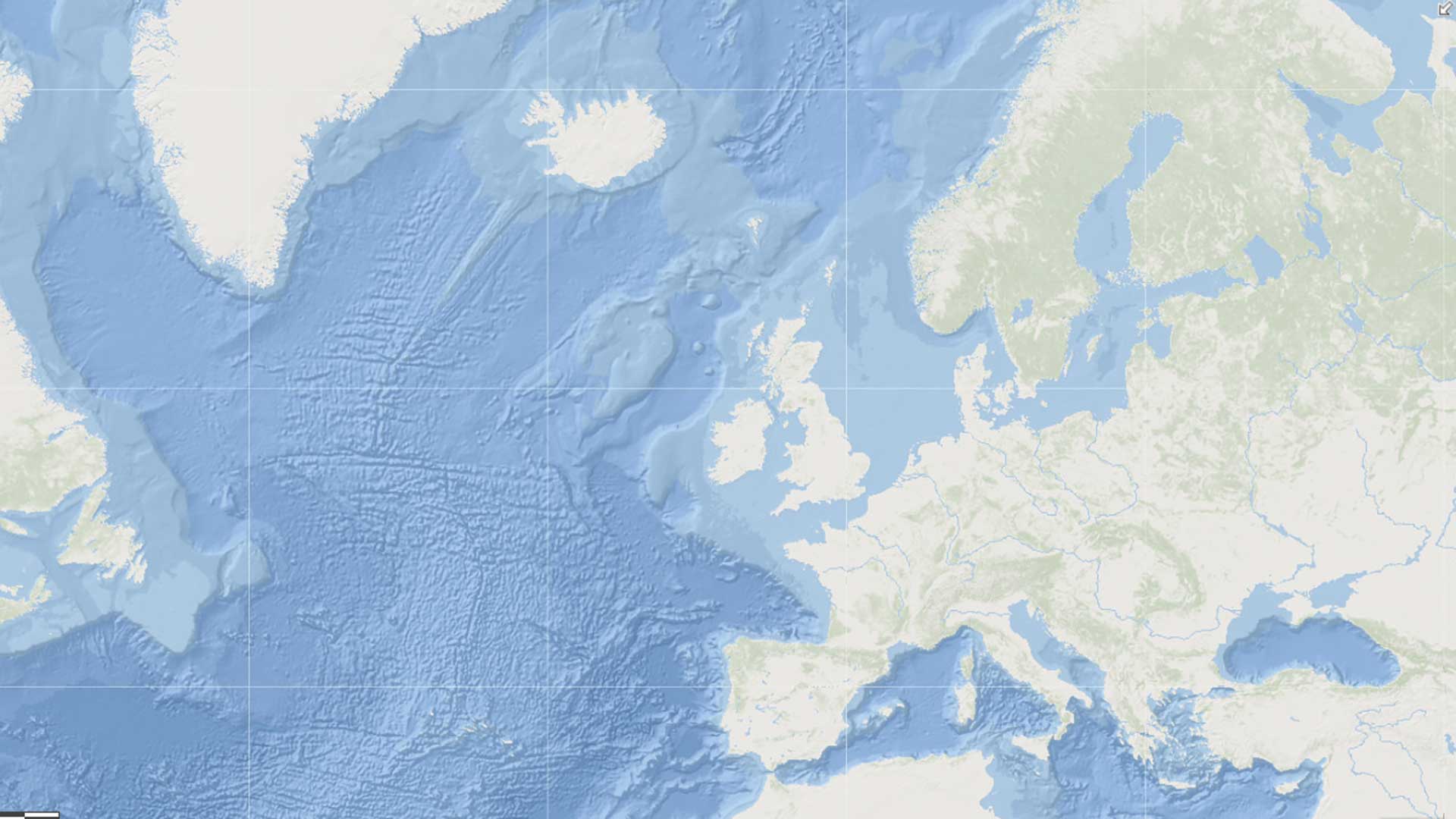
The General Bathymetric Chart of the Oceans (GEBCO) commission dedicated to creating the most authoritative bathymetry of the world’s oceans.
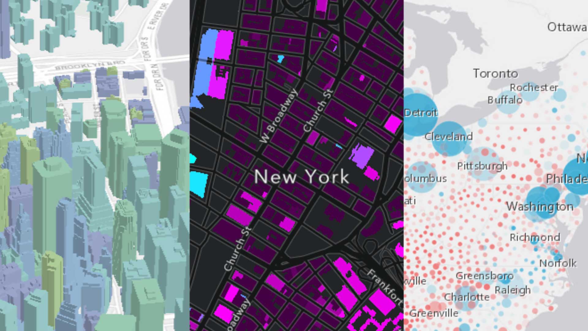
These articles also show how a spatial perspective enabled by location technology can be transformative.
A digital twin can accelerate innovation, build consensus, and save time and money.
Understanding the difference between a GIS manager and a GIS leader.
ArcGIS Runtime SDKs at 100.5 enable better performance and utility.


