displaying 4562 results
As in many other countries, geography in Colombia is taught to primary and secondary school students under the umbrella of social studies...
Suffolk County, New York, officials use dashboards and location-based data to ensure residents have equitable access to the COVID-19 vaccine.
Economic mobility begins with affordable housing and affordable housing begins with zoning reform.
Sophia Garcia, Equity and Civic Nonprofits Industry Lead at Esri, discusses how mapping and technology give social equity work momentum.
Paulette Brown-Hinds from Black Voice News explains how mapping technology brings focus to social justice issues.
IUCN sets the standard for successful nature conservation and is working to geo-enable the process to achieve 30x30 biodiversity protection.
Volunteers teamed with Surfrider Foundation to record the location of tar balls that washed up from the Huntington Beach oil spill.
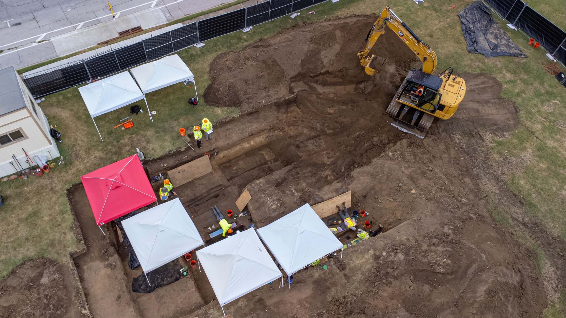
Esri senior writer Karen Sullivan discusses the legacy of forgotten black burial grounds and the initiative to document them.
Claudia Blagu from Ingka Investments explains the role location intelligence plays in actualizing sustainable business growth.
Ryan Lanclos, Esri Director of Public Safety Solutions, explains public safety's reliance on location technology to prioritize response.


