displaying 4190 results
Stories about five GIS Day celebrations underscore the important role geospatial technology plays in better understanding planet Earth.
This tip just might end up being one of your all-time favorites. The release of ArcGIS Pro 2.0 in June 2017 gave you the ability to save and ...
Smith College professor Jack Loveless introduces students to GIS through his course, Mapping Our World: Introduction to GIS...
GIS Hero Larry Orman forged a career that set the agenda for regional planning and conservation.
Not everyone can enjoy the beauty and usefulness of maps. There might be several reasons why.
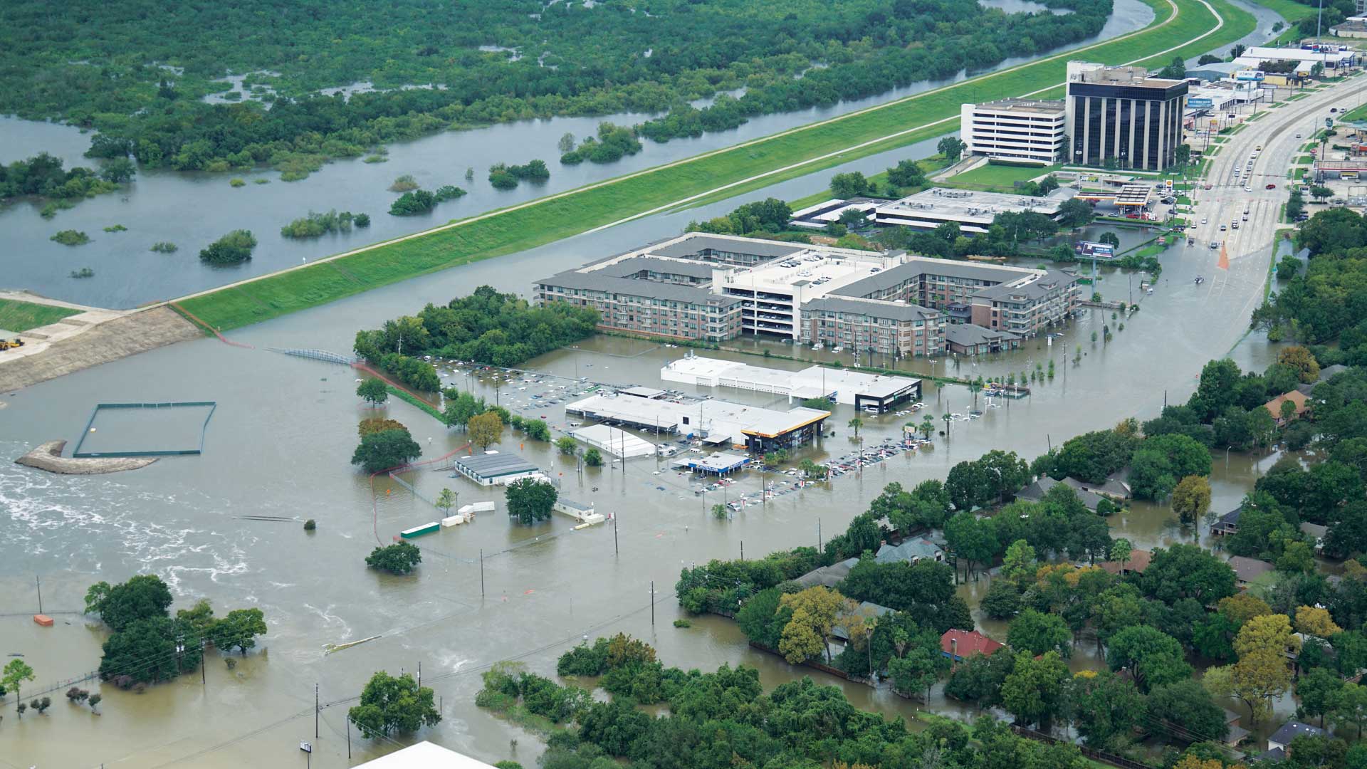
When Hurricane Harvey made landfall in Texas last August, several agencies were already creating inundation maps thanks to work by UT and Esri.
2024 Esri User Conference; cloud-based sharing; safe-guarding the election process; tracking dinosaurs;
Apps can reach wider audiences when additional context is provided for audiences with low or no vision.
Maximize the impact of your message by using these strategies when building and deploying your ArcGIS StoryMaps story.
The Florida Division of Emergency Management used GIS to create a five-year hazard mitigation plan.
ArcGIS Labs, a new e-Learning format, has been added to the Esri Academy catalog.


