displaying 3013 results
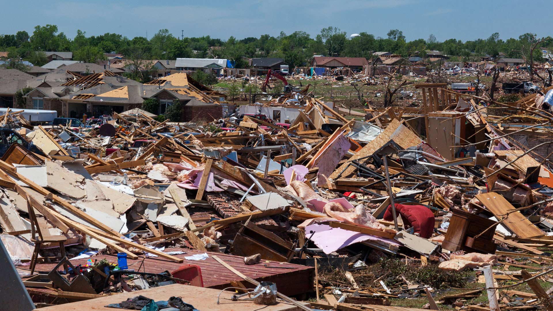
Esri’s DRP has helped users respond to disasters for 25 years. Its new solution gets users to start preparing for the next incident today.
Traditional transportation networks and accessible technology have evolved to the point that they are now intertwined and inseparable.
It’s daunting to think how much time and effort it would take to do a manual inventory of all the trees on the more than 500 acres…

The November update to ArcGIS Online includes new features and apps, enhancements to visualization, and improvements to administering and...

Winners of this year’s Esri Partner Conference awards have developed pioneering GIS solutions for solving real-world problems while demonstrating
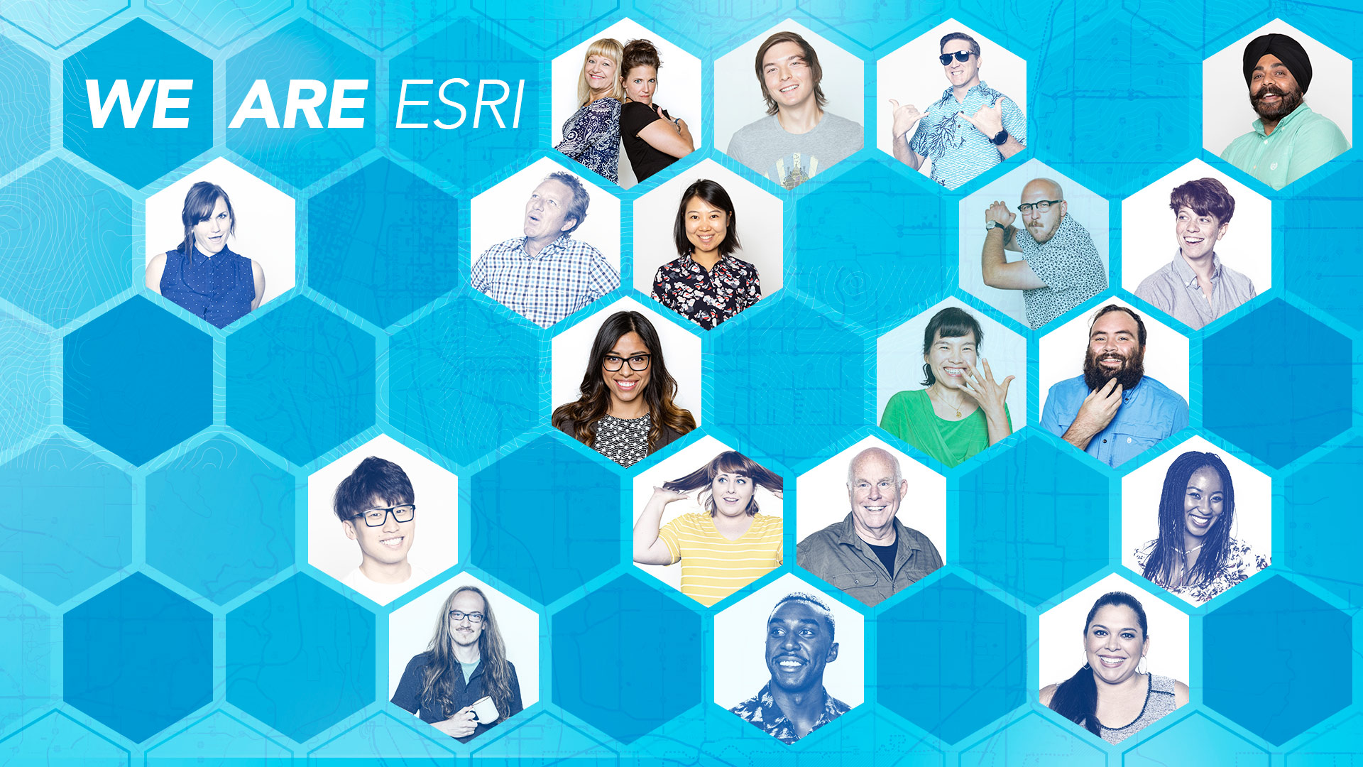
Esri is hiring people with all levels of experience for positions at its headquarters, regional offices, and R&D Centers.

Maps and spatial analytics allow people in communities to build strong, long-lasting relationships with each other.
Errors in maps cast doubt on their reliability and undermine the professionalism of the mapmaker. Plus, errors can be costly.
Esri is actively recruiting smart people with all levels of experience who get the job done. These positions represent openings at our...
Esri is hiring people with all levels of experience for positions at its headquarters, regional offices, and R&D Centers.
The Boy Scouts of America (BSA) are embracing geospatial technology in a big way at Summit Bechtel Reserve (The Summit) in West Virginia.
Speakers at the upcoming Geodesign Summit will tackle questions such as how geodesign can solve the 21st century's most pressing problems.