displaying 4700 results
ArcGIS StoryMaps is still in beta, but Esri StoryMaps team members already want to share their favorite features such as express maps.
Esri has just added new capabilities to ArcGIS Online, including enhancements to smart mapping, scene viewer, and analysis tools.
The Salton Sea in Southern California is an imperiled bird refuge area being revitalized using GIS.
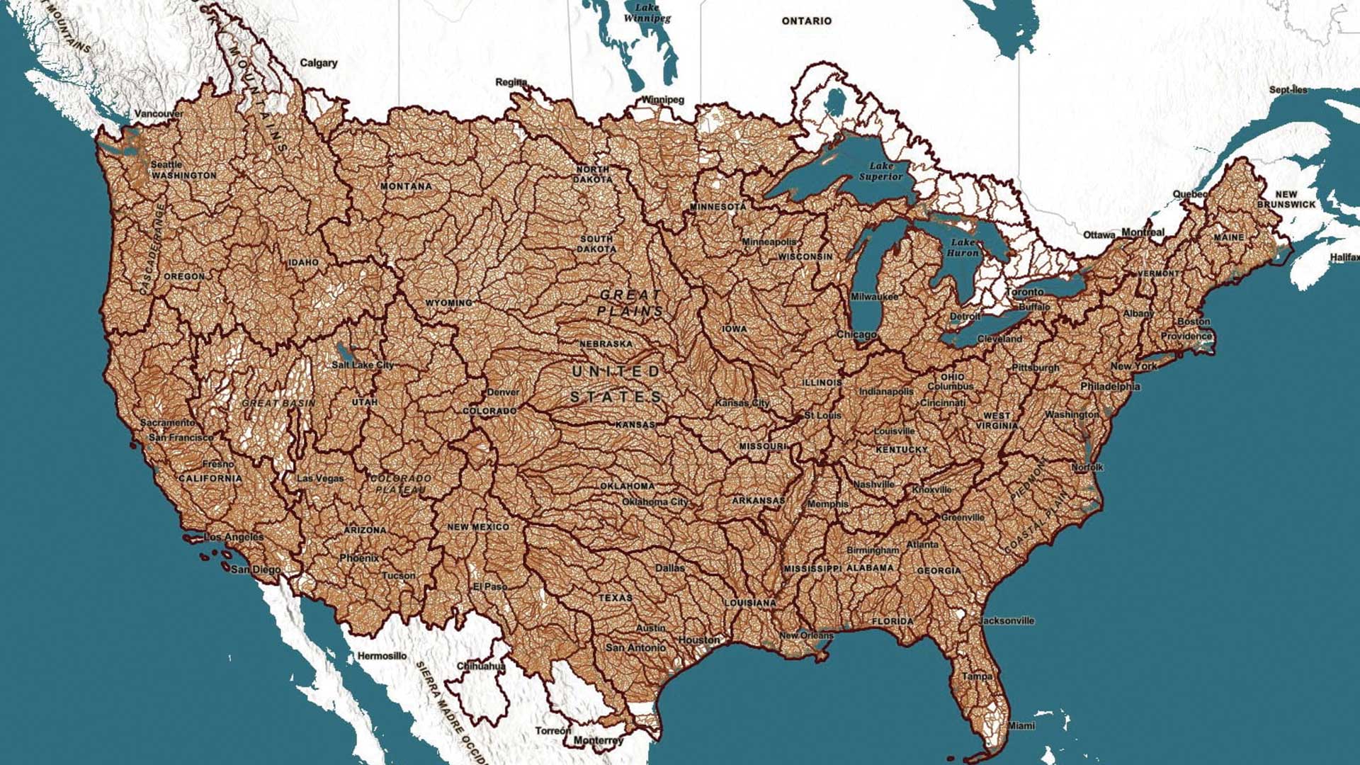
The Watershed Boundary Dataset (WBD), is available from ArcGIS Living Atlas of the World
Researchers apply GIS technology on the micro scale to add image classification to spatiotemporally stamped human health data.
Walking seems to be the most popular alternative to driving to work alone in Beverly Hills, California. How do your neighbors get to work?
From tightly scripted software code to the cloud, understanding our history can help guide us in building the technology of the future.
The authors are associated with the King Fahd Center for Middle East Studies, an interdisciplinary program in the Fulbright College of Arts and…
Find the latest county-level hospitalization and mortality rates for heart disease and stroke from the CDC in ArcGIS Living Atlas of the World.
A story called Famous Boots of Wimberly, Texas, serves as an example of how to integrate GIS with art, history, and geography in education.
Steve McCulla from Belron, a business with brands such as Safelite AutoGlass and Carglass, shares a story of how the company uses GIS.


