displaying 4562 results
GIS applications help governments modernize election processes to ensure social distancing during the COVID-19 pandemic.
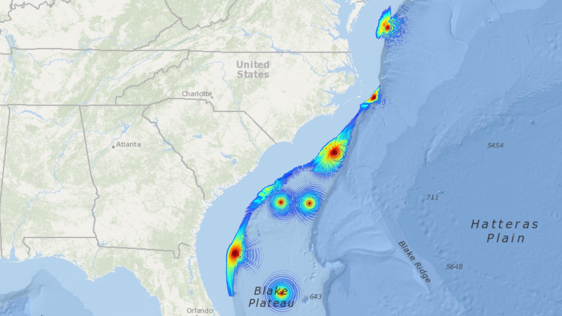
Applied Ocean Sciences uses GIS to inform and distribute its acoustical modeling work, providing scientists and mariners with new understanding.
Enerjisa DC, the largest electric utility in Turkey, uses GIS to locate maintenance issues in remote places that are difficult to access.
For the fiftieth anniversary of Earth Day, Earth Challenge 2020 aims to collect location-specific data to inform public policy.
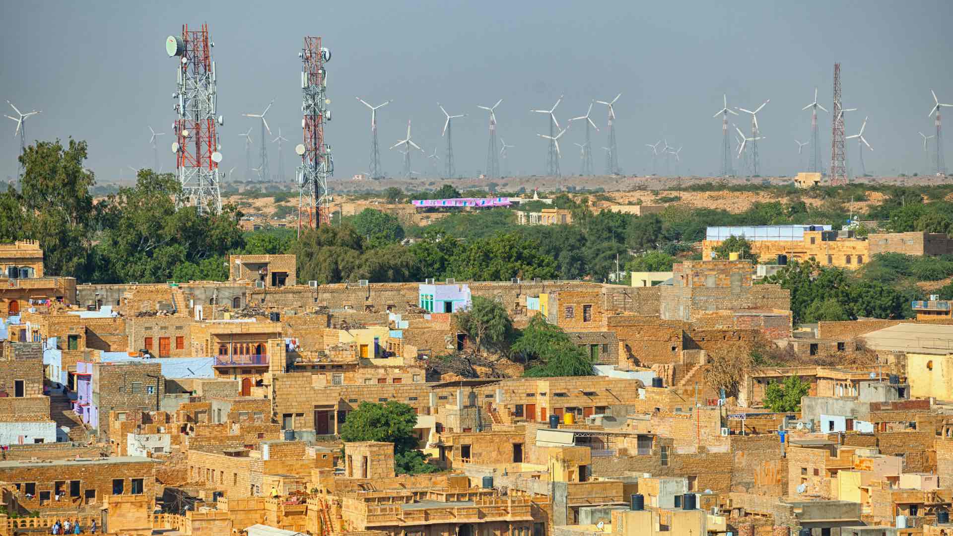
Jio’s wireless service quickly dominated the Indian market thanks to automated workflows tightly tuned with location intelligence.
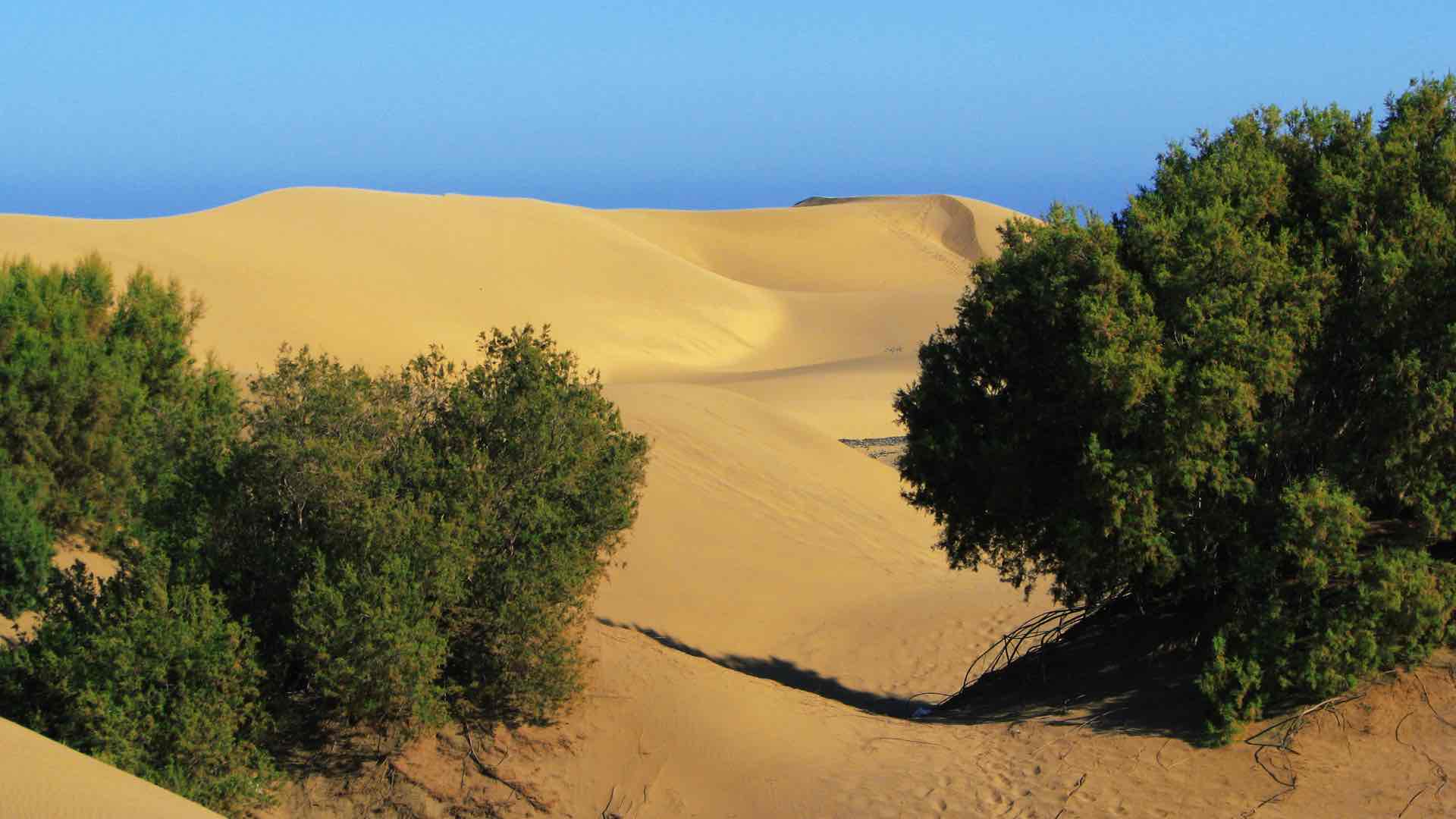
Mobile GIS helps project managers record and monitor tree planting efforts, which hope to stop the deadly march of desertification.
The US Navy achieved plug-and-play integration with many sensors speaking the same language and serving inputs into a GIS.
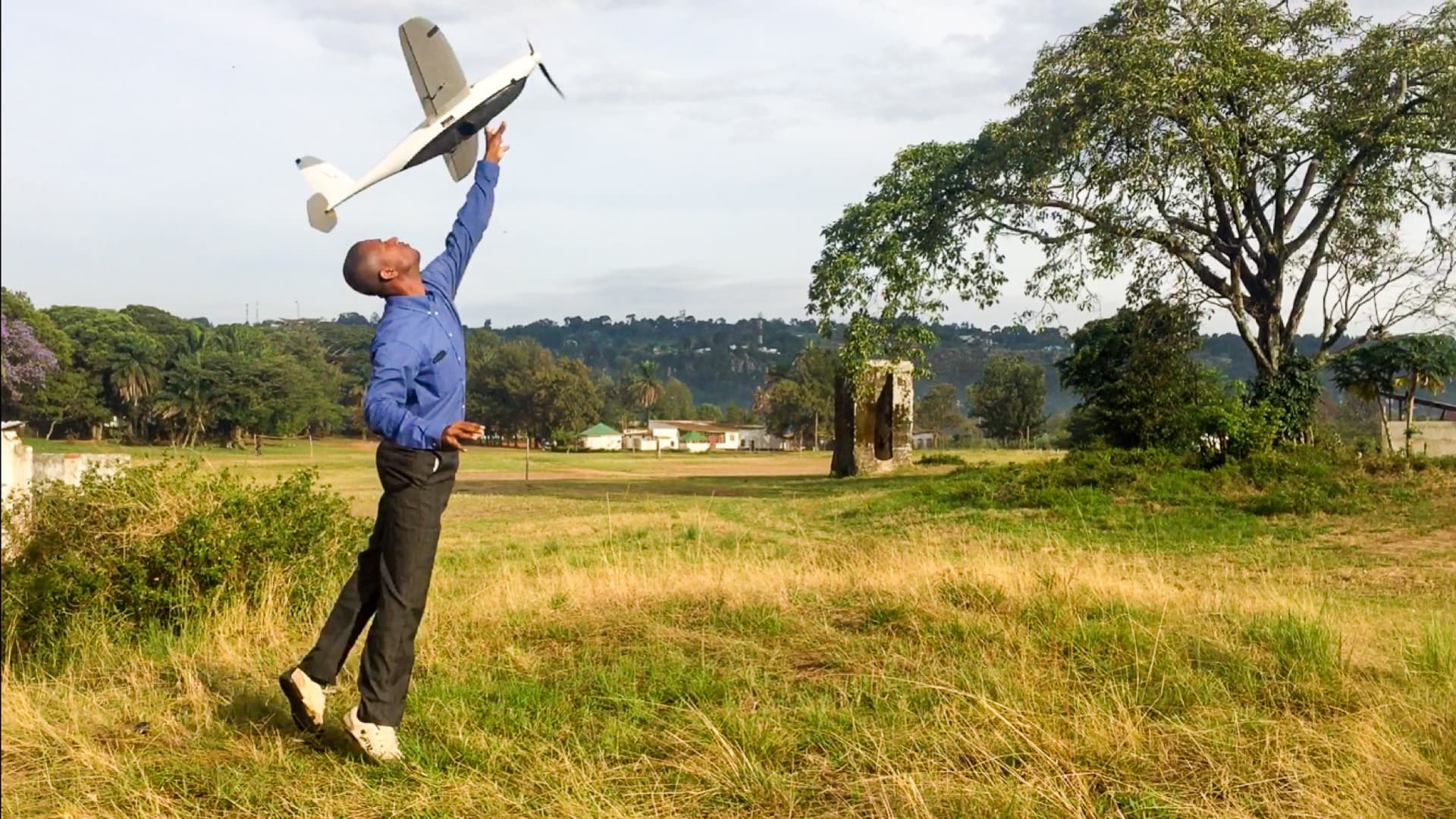
WeRobotics pioneers drone use and spatial analysis for social good in remote regions.

