displaying 4562 results
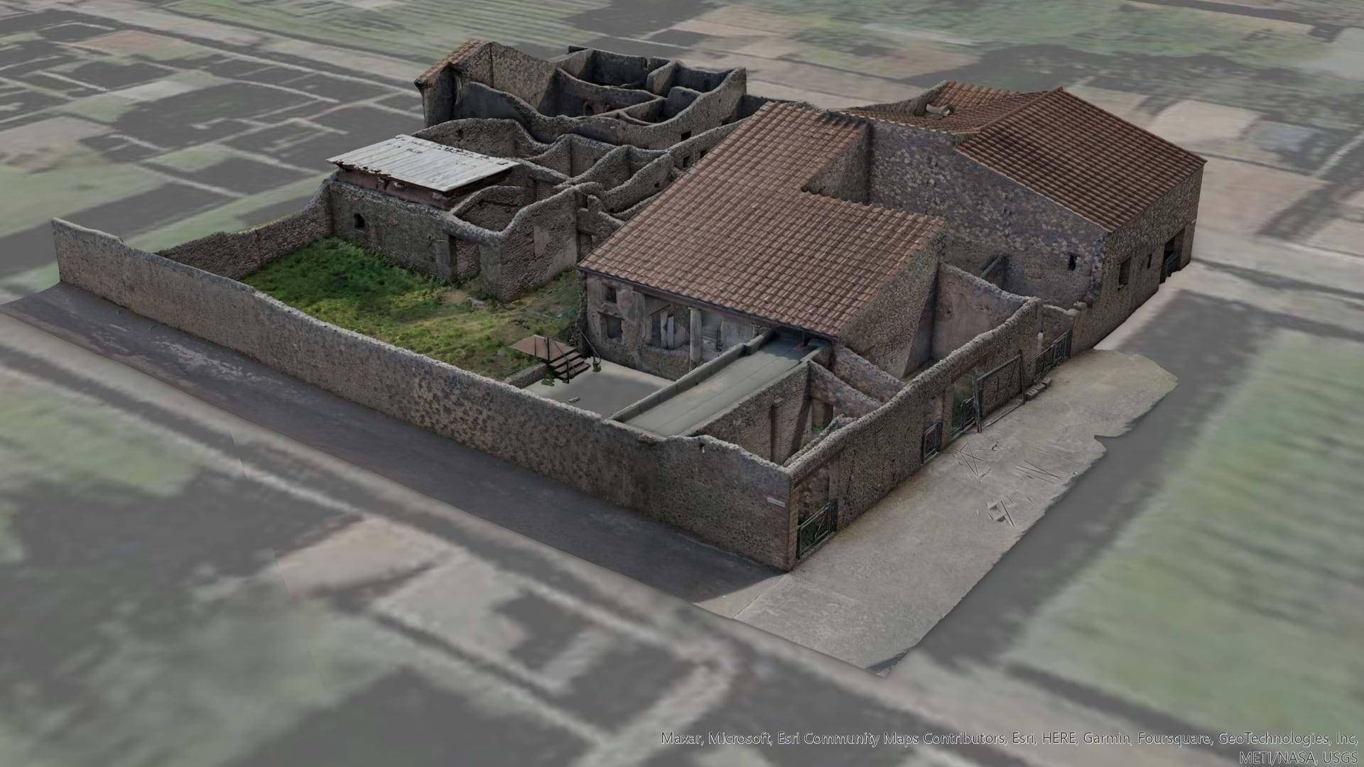
Archaeologists in Pompeii create 3D models of an excavation site for real-time, visual documentation and data about ancient city planning.
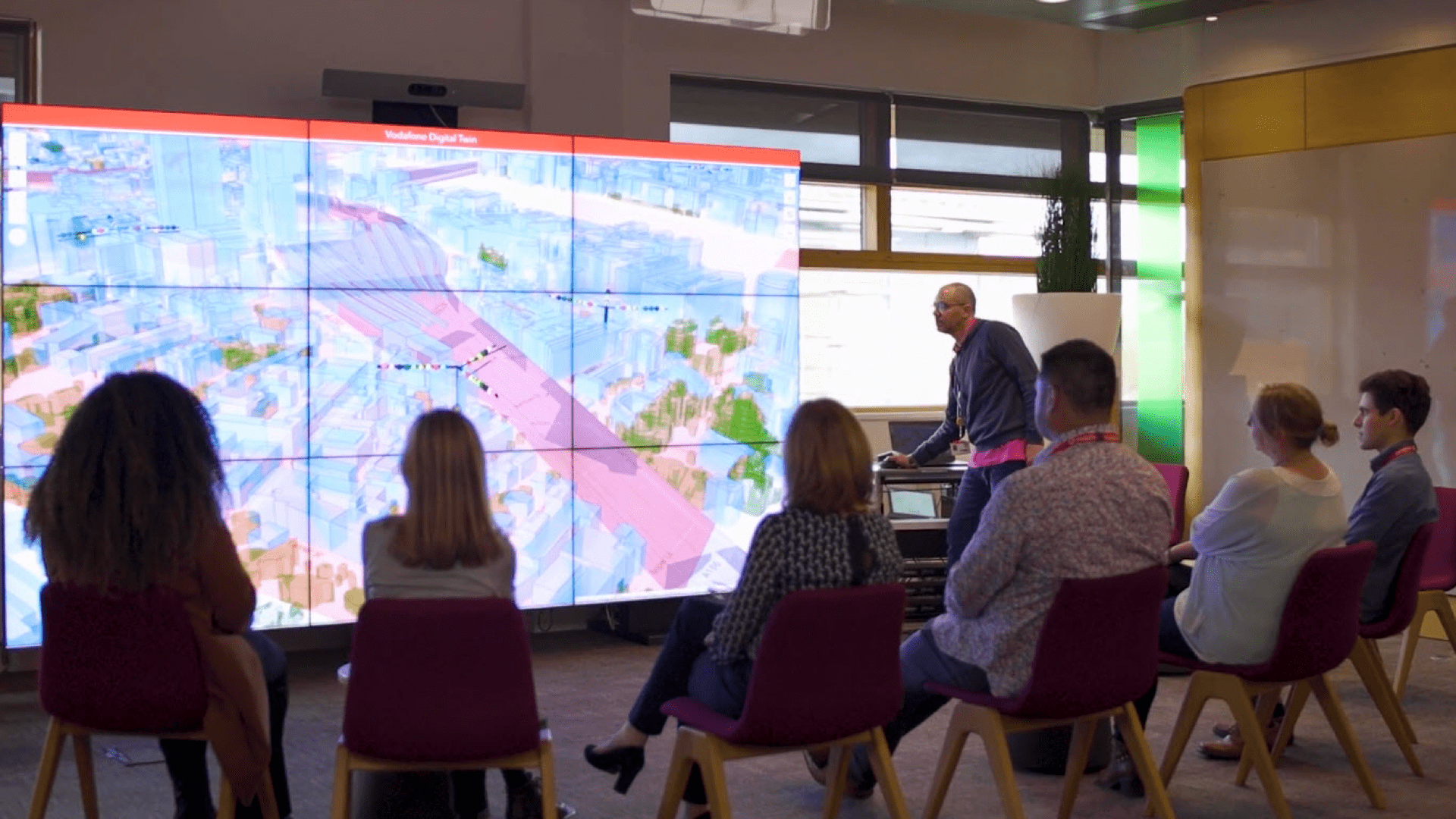
The Vodafone country-scale digital twin captures environmental and network attributes to deliver a more robust and performant network.
GIS technology brings more scientists to the table in the effort to extract hidden knowledge from distant and remote places.
The town of Normal, home to Rivian, unveils a GIS-based infrastructure project dashboard for staff and the community.
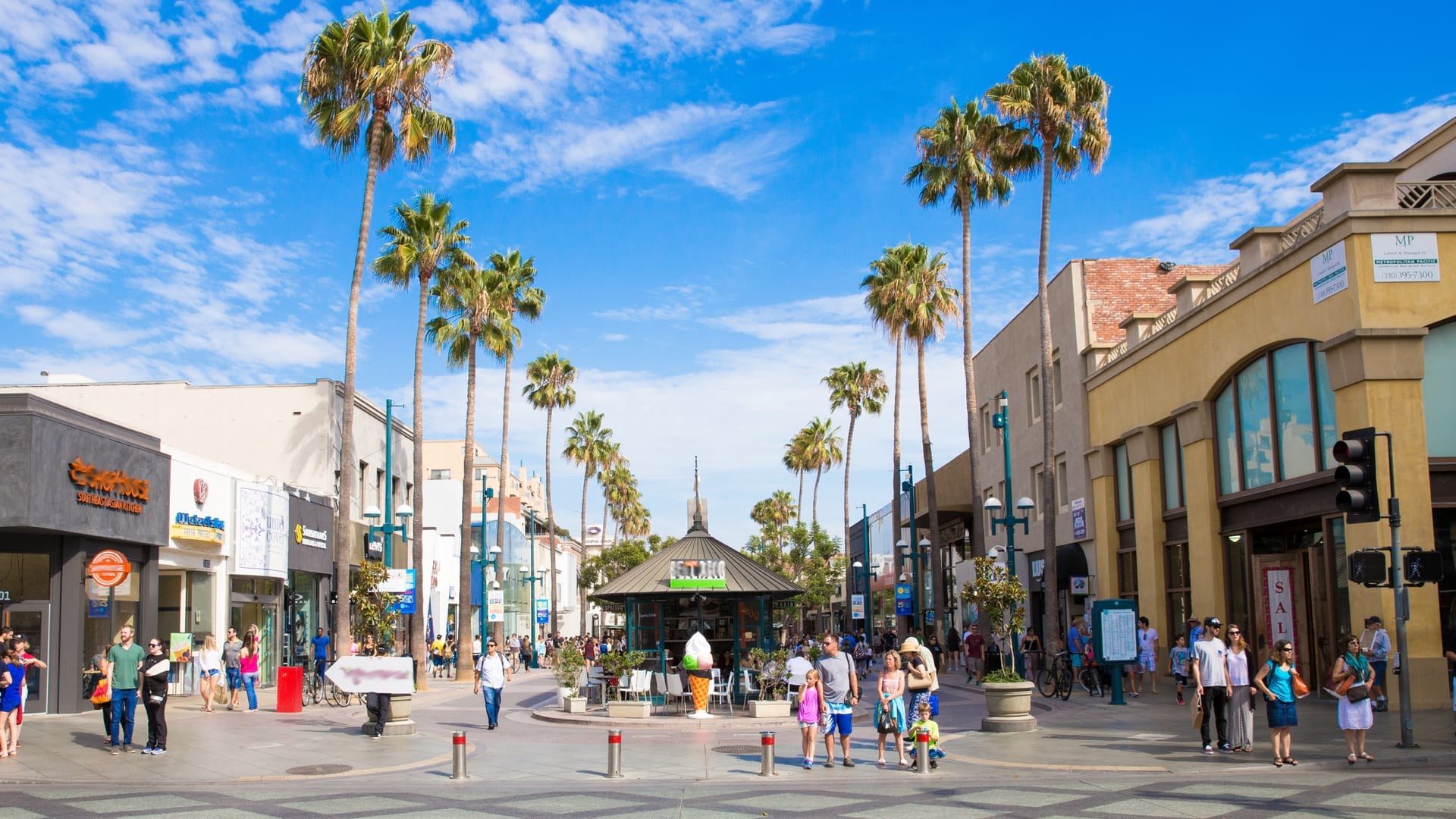
Colton's leaders use a digital twin of the city to drive economic development and address the needs of residents.
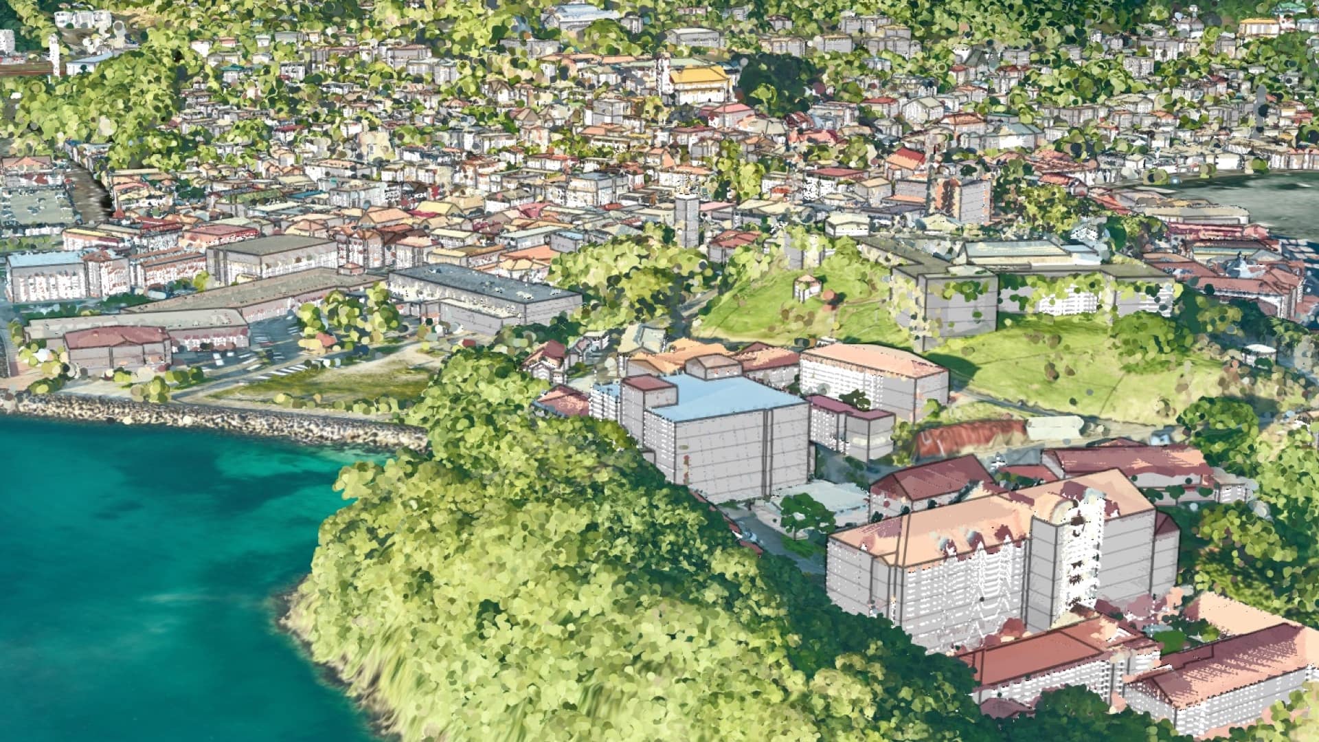
After receiving funds to assess vulnerability, Grenada turned the data into a digital twin to examine all manner of climate impacts.
The United Nations and World Bank have found that land record transparency promotes gender equity in global land ownership.
Esri and IBM have teamed in this year’s Call for Code challenge that seeks solutions for combatting climate change.
As the world takes on new climate commitments, GIS will surface the science, consider human vulnerabilities, and enable targeted action.
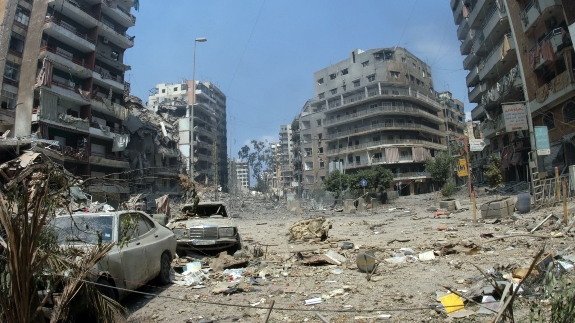
The United Nations’ International Search and Rescue Advisory Group put a new system into practice, unlocking an up-to-the-moment awareness.
Micrometeorologists at San Francisco State University used GIS to investigate and model the climate impacts of Burning Man.
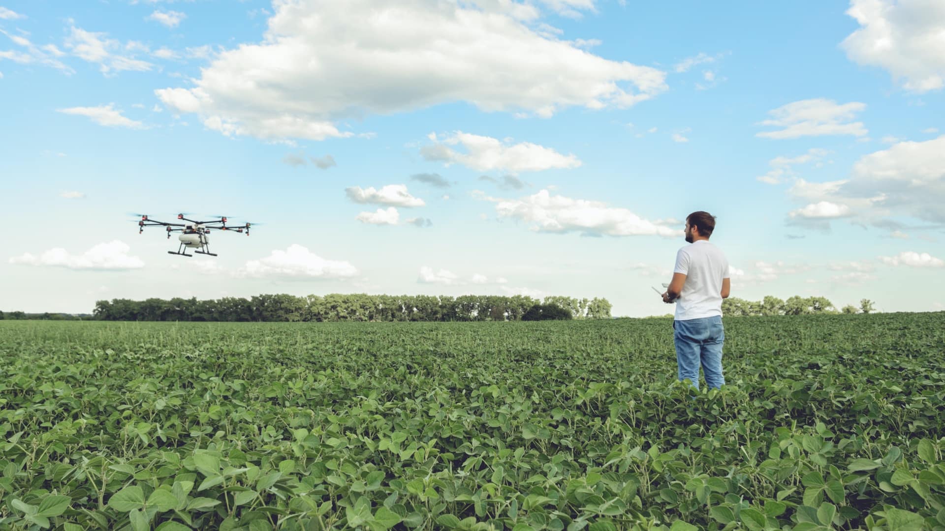
Precision agriculture harnesses location technologies to guide farmers to apply inputs where and when they are needed.
