displaying 4192 results
An intelligence analyst transforms NYPD’s use of GIS technology, empowering colleagues to enhance investigations and operations.
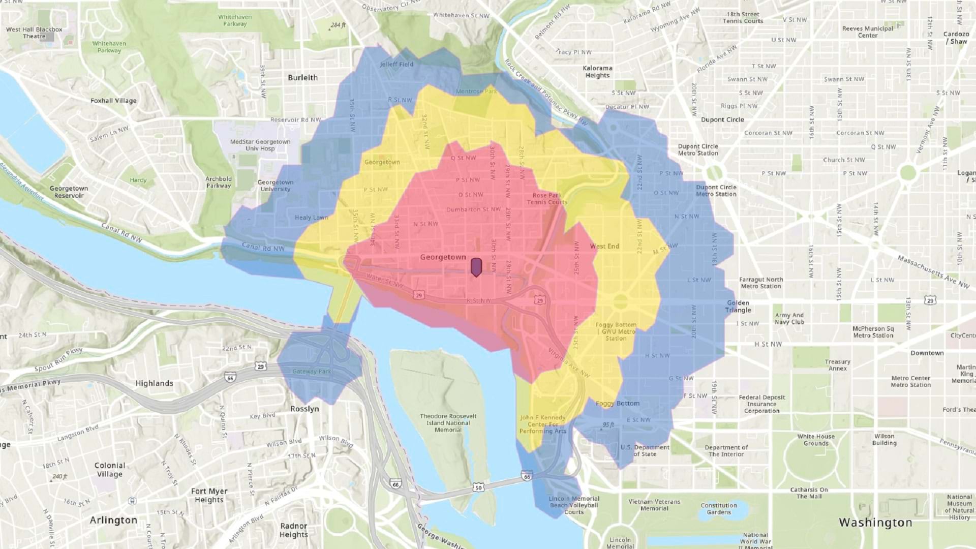
In this tip, learn how to make a walk-time map in ArcGIS Online using sketch layers and smart mapping styles.
Through his research and collaboration with students and colleagues, Dr. Josef Strobl continually shapes the future of digital mapmaking.
Add thumbnail images to your ArcGIS Pro recent projects list. Thumbnails can be static or can update dynamically to reflect a map or scene.
The Minnesota GIS/LIS Consortium continues its long history of supporting the statewide GIS community by showcasing its members' work.
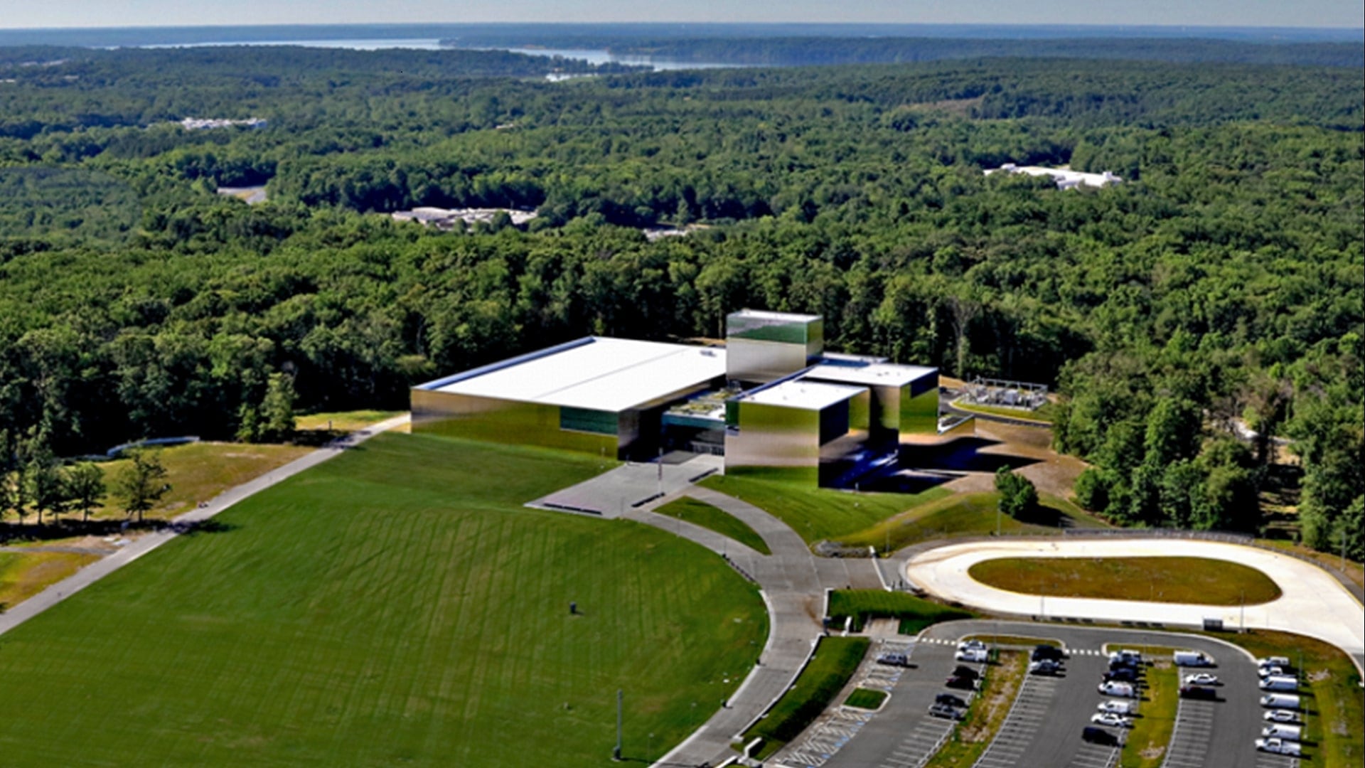
With ArcGIS technology, the National Museum of the United States Army created a searchable app to display and highlight donors’ artifacts.
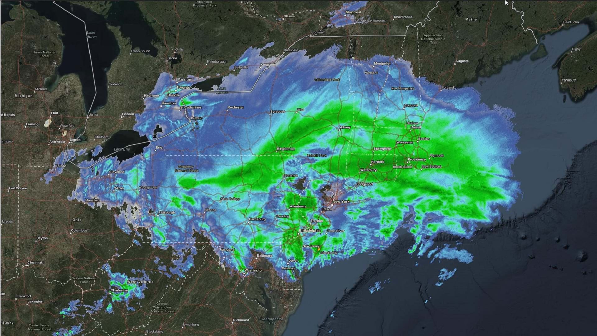
Learn to make and configure a weather map using ArcGIS Online and ArcGIS Living Atlas of the World.
Learn how to use ArcGIS technology to create visualizations and streamline operations, and find out about new certification opportunities.
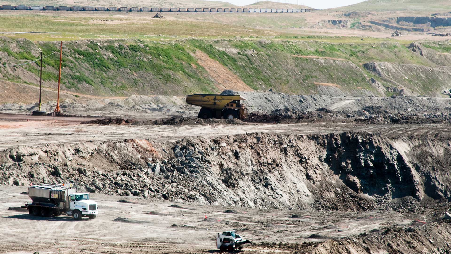
Brierley Associates uses Site Scan for ArcGIS to quickly process imagery and produce visualizations that protect the integrity of the land.
It is the last release to support the publishing and consumption of services from ArcMap and has migration tooling to help with the change.
The premier gathering of cartographers and GIScience professionals is coming to Redlands. Learn about the event's history and this year's agenda.
In the United States, it is rare to take more than one year of geography. This needs to change so students learn complex ways of thinking.


