displaying 4314 results

Esri’s ArcGIS Indoors is suited to help businesses safely plan reopening, helping them efficiently visualize their real estate.
There is often a disconnect between what’s happening in the field and the office. With Tracker for ArcGIS, that’s no longer the case.

3D artist Romain Janil uses Esri CityEngine to make helicopter flight simulation programs that are as realistic as possible.

Managing GIS, A column from members of the Urban and Regional Information Systems Association

The Geography of Hope, a new book from Esri Press, shows how GIS helps people, communities, and organizations succeed and prosper.

More than 60 years of map-based research by Tall Timbers benefits efforts to restore longleaf pine forests.

Coastal erosion is increasingly jeopardizing Point Hope, Alaska’s way-of-life. Scientists enlist GIS to help.

Kongjiang Yu’s childhood experiences, and his embrace of GIS technology, guide his holistic sponge city designs.
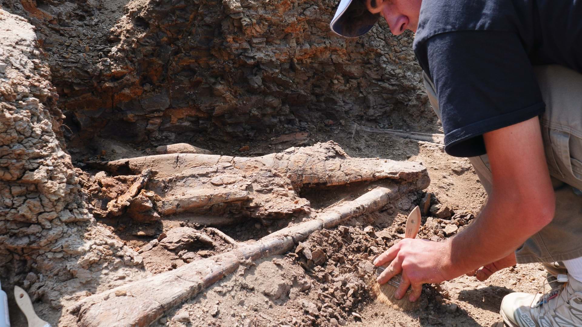
The Earth Sciences Foundation is creating a real-time map of dinosaur bone locations with RFID tagging and GIS mapping.

Alabama Law Enforcement Agency deployed a new command and control system to streamline security at the governor's inauguration.
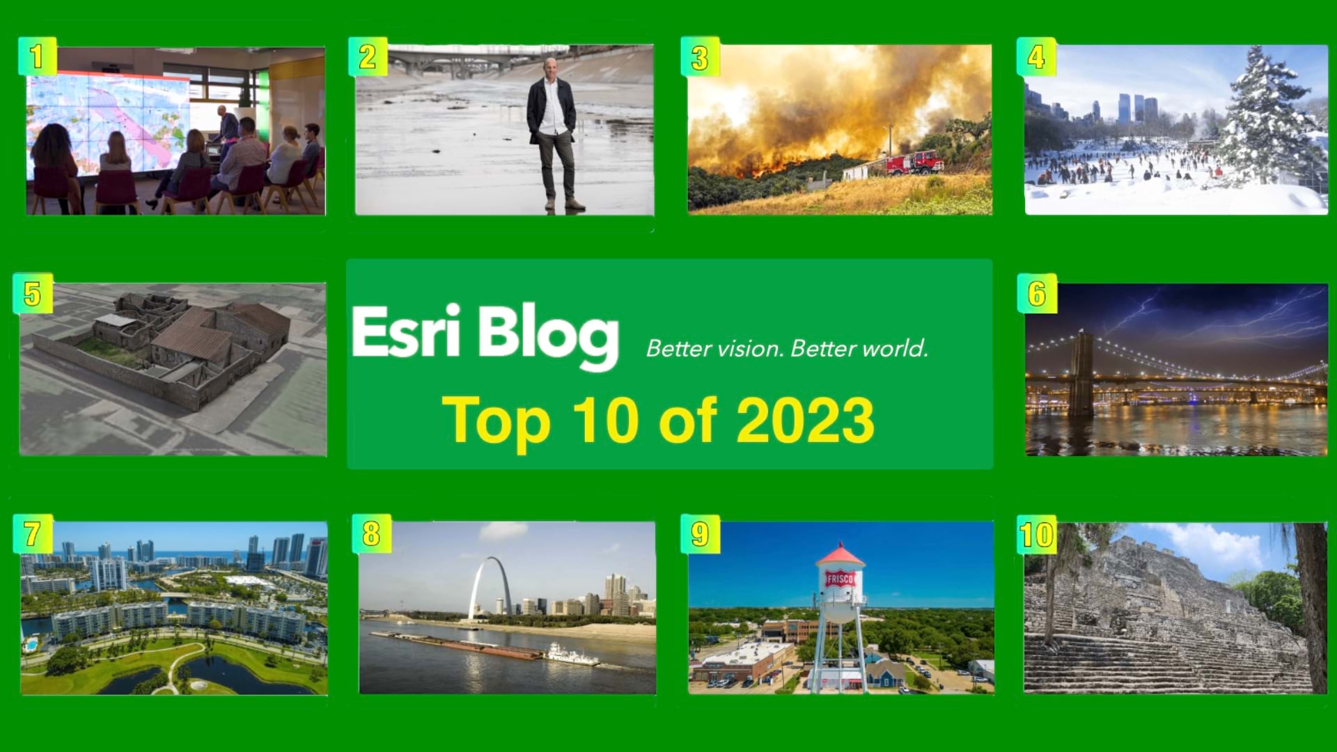
The Top 10 posts of 2023 span industries and geographies. All show an impactful use of geospatial technology to create the world we want to see.

The Congo Basin Institutes tight alliance with the Baka people has yielded scientific discoveries and trained them to become conservationists.