displaying 4700 results
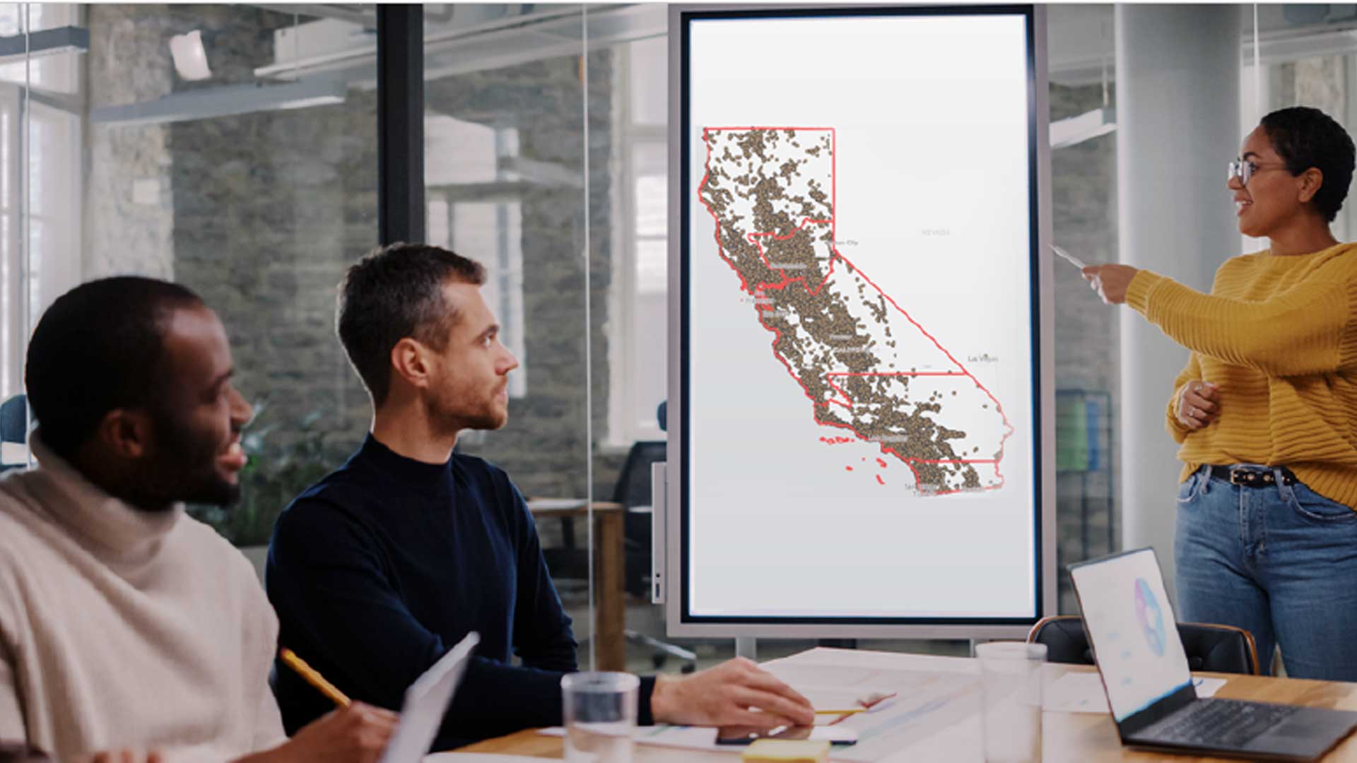
The W. P. Carey School of Business at Arizona State University (ASU) is expanding its location analytics courses.
Researchers are using GIS to more effectively site tracking stations that gather data on migratory birds to help reverse population decreases.
GIS governance offers a formal structure for making and managing decisions about the long-term direction of a geospatial program.
Esri Small Nonprofit Organization Grant Initiative helps nonprofits improve their operations with GIS.
Collect data using ArcGIS QuickCapture and your voice
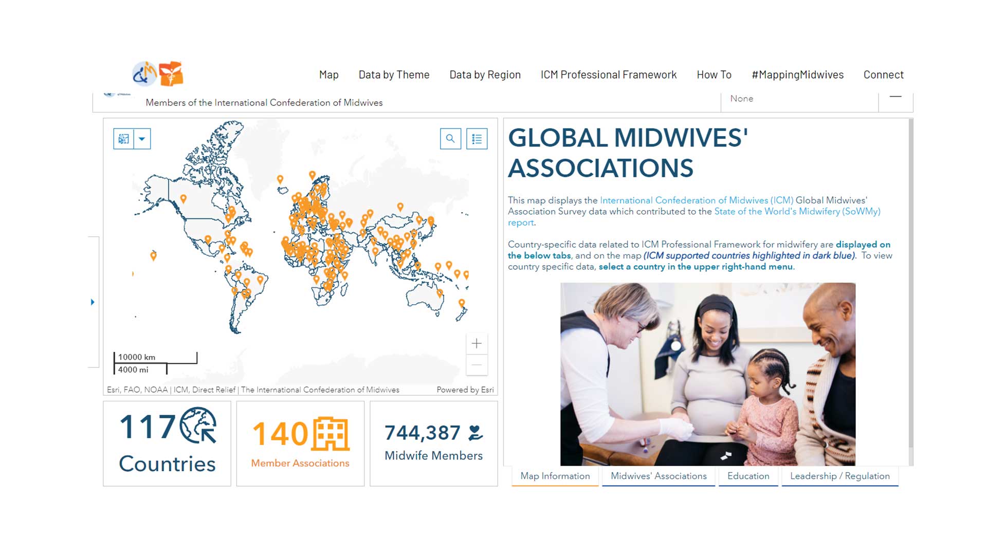
GISCorps volunteers aids Direct Relief to create a data sharing site for the International Confederation of Midwives.
Understanding and applying the principles of accessible web design will help you provide the best experience for all visitors to your site.
Government and commercial organizations must adopt a geographic approach to achieve a sustainable future.
Carroll University in Waukesha, Wisconsin, is a trendsetter in GIS-informed business education.
The City of Austin, Texas, developed a comprehensive plan to migrate to ArcGIS Pro.
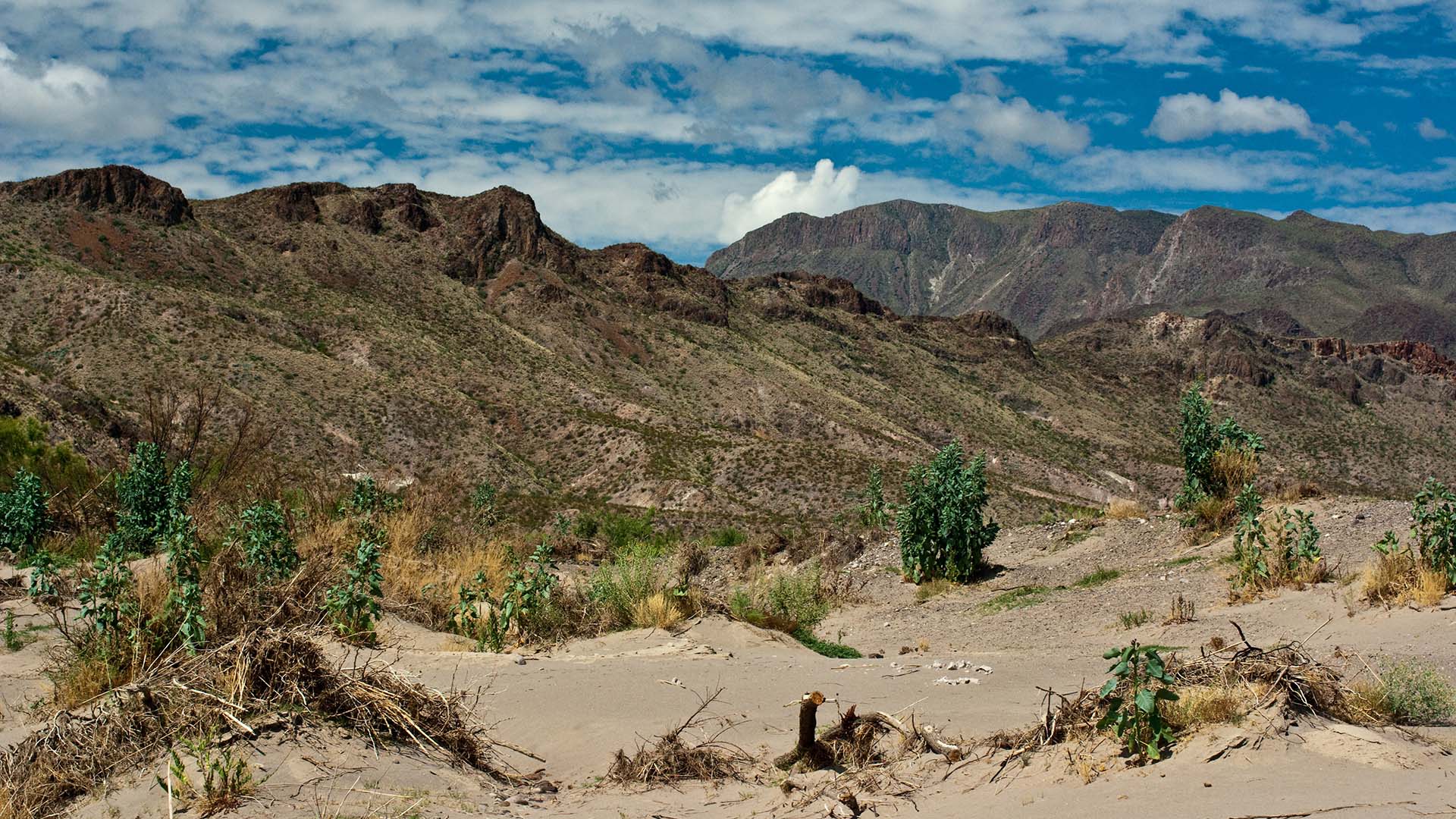
The United States Border Patrol is using GIS to improve its search and rescue (SAR) operations for migrants in distress.
Ensuring women have the right to own land could lift millions of people out of hunger and reduce rural poverty,


