displaying 3089 results
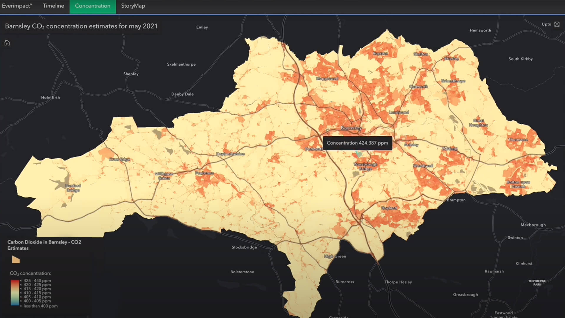
A new emissions-mapping app signals the growing transparency of climate data—and the heightened risk for businesses that don't respond.
When supply chain slowdowns bite, consumers aren’t the only ones put out—businesses must get more efficient with scarce resources, too.
The easy-to-use web app sends key metrics to local governments, informing future actions they can take to ensure good water quality.
New partnerships and a new company bring GIS to more people, professions, and locations around the world.
Coastal planner Leah Fulton discusses the extent of lost commercial fishing gear in the ocean pollution crisis.
Esri Chief Scientist Dawn Wright discusses technology as a scientific ally in the fight against climate change and pandemic threats.
Scot McQueen from World Forest ID explains how technology is enabling new ways to ensure forest health and meet market demand.
Learn how Washington State is creating a standardized, integrated set of elevation-derived data for hydrography mapping and analysis.
You've been busy adding items for others in your organization to use. Here's how to prevent accidental deletion of those items.
If you have more than one ArcGIS account, here's how to link them to make account switching easy.
CFO Dan Pimentel from ESP Logistics Technology explains how location intelligence enables a resilient and profitable supply chain.
Learn how Tennessee state agencies leveraged federal funds to develop a statewide recreation database.


