displaying 4853 results

Esri’s three distinct implementation options let utilities deploy enterprise GIS at their own pace.

GCOOS uses GIS technology to manage on-demand, accurate, and reliable data essential for environmental monitoring and disaster response.

Three partners helped a gas utility and two counties enhance their GIS-based workflows to streamline operations and fix data inaccuracies.
Professionals from the United Arab Emirates visited Esri’s Redlands campus for five days of learning and collaborating.

A university facilities services department used drone imagery to identify areas that required maintenance or further inspection.

Explore how Washington College's GIS Program has introduced students across disciplines to GIS technology by offering hands-on experience.

The event, which brings together Esri UC attendees who are interested in science, will celebrate the remarkable Dr. Rae Wynn-Grant.

You can add, share, and manage many types of items in ArcGIS Online, including photos and images. Here's how.

3D GIS workflows and models have created a digital twin to help guide development of port facilities in Vietnam.
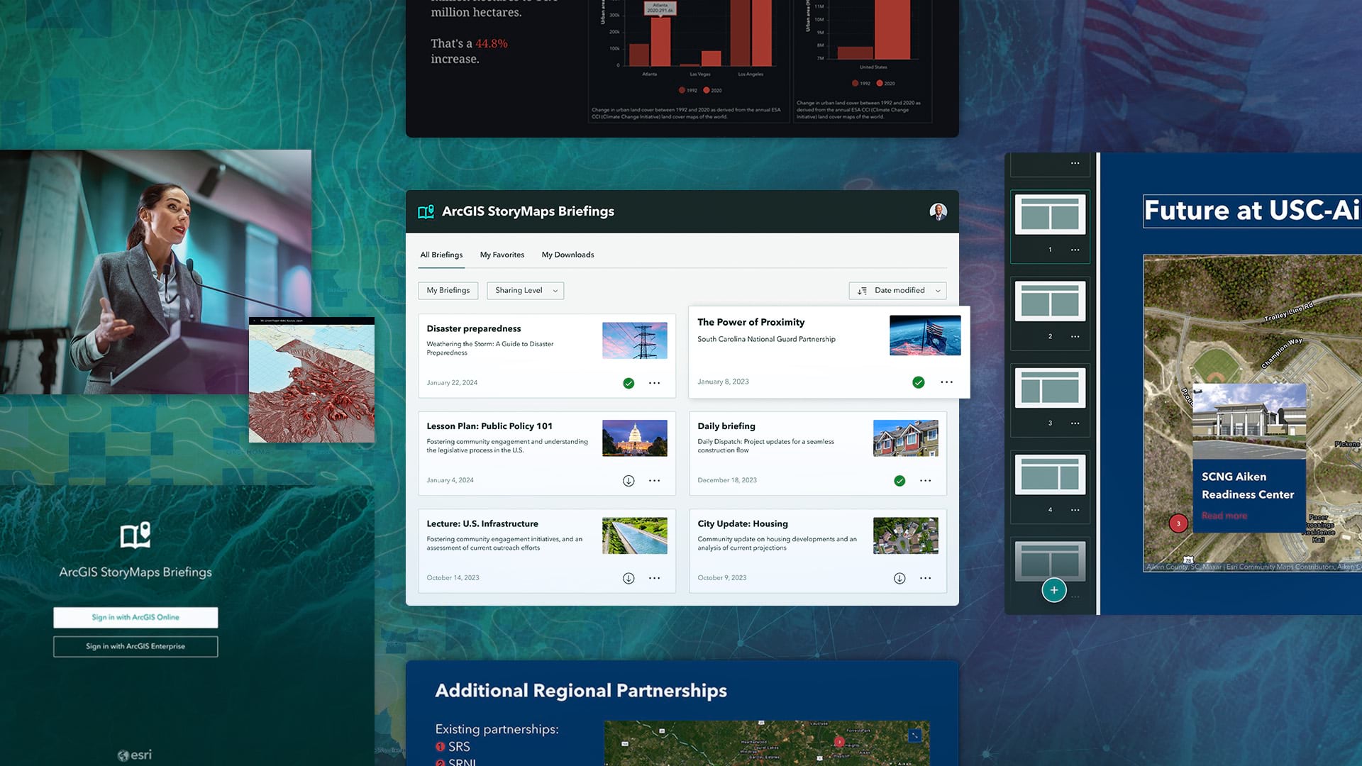
A new StoryMaps output type called briefings helps users create accessible, brand-specific slide-based presentations.
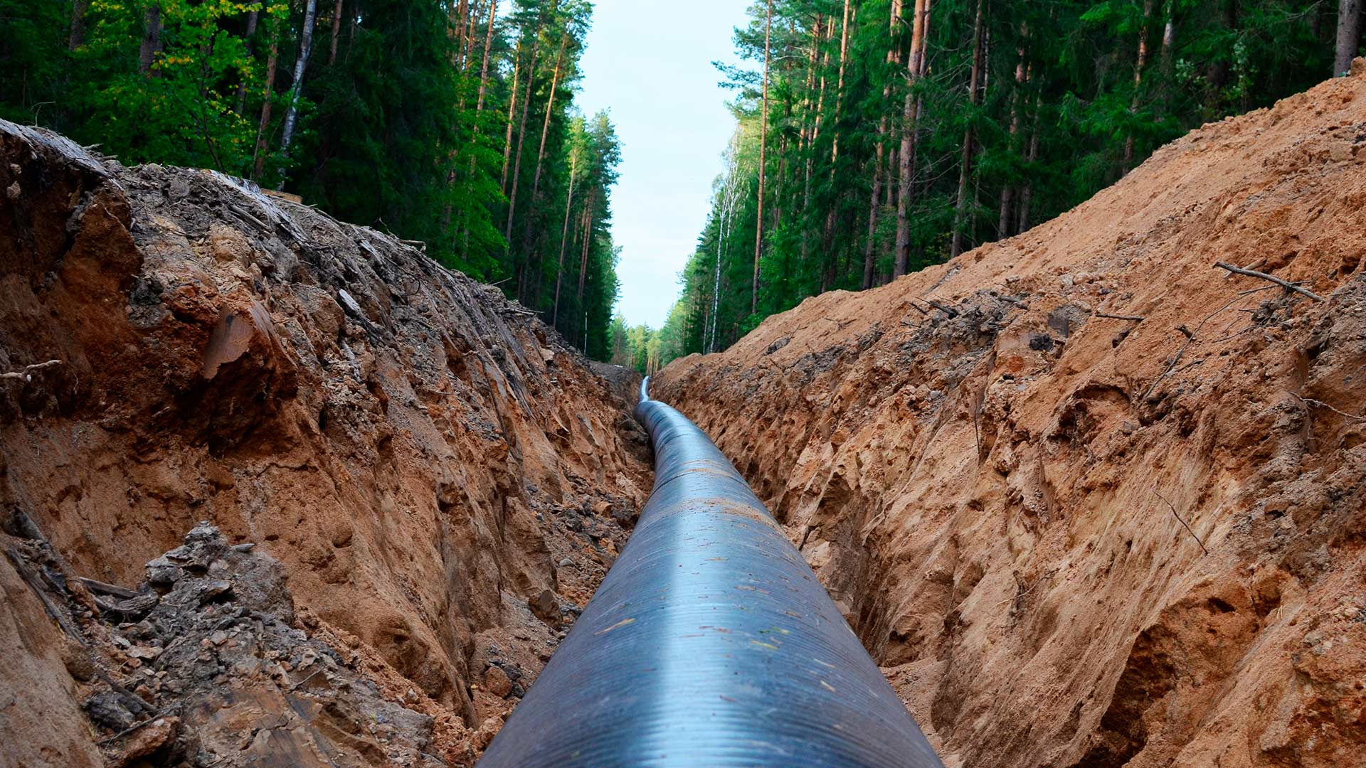
An Esri startup partner graduate helped a US pipeline client comply with federal safety requirements.

With a GIS-based app to monitor critical assets, the Saudi Arabian Oil Company ensures that its network of transmission lines operates safely.