displaying 3148 results
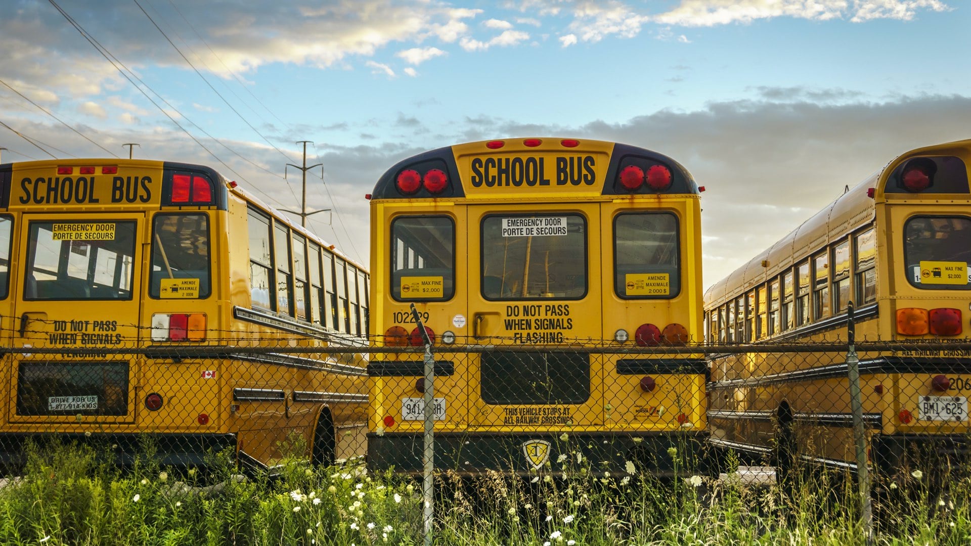
During the shift to remote schooling, school districts turn to GIS to map where students lack computers and access to internet.
Maps that convey the pain of cycles of poverty and punishment are central to an advocacy effort that led to legislation in New York State.
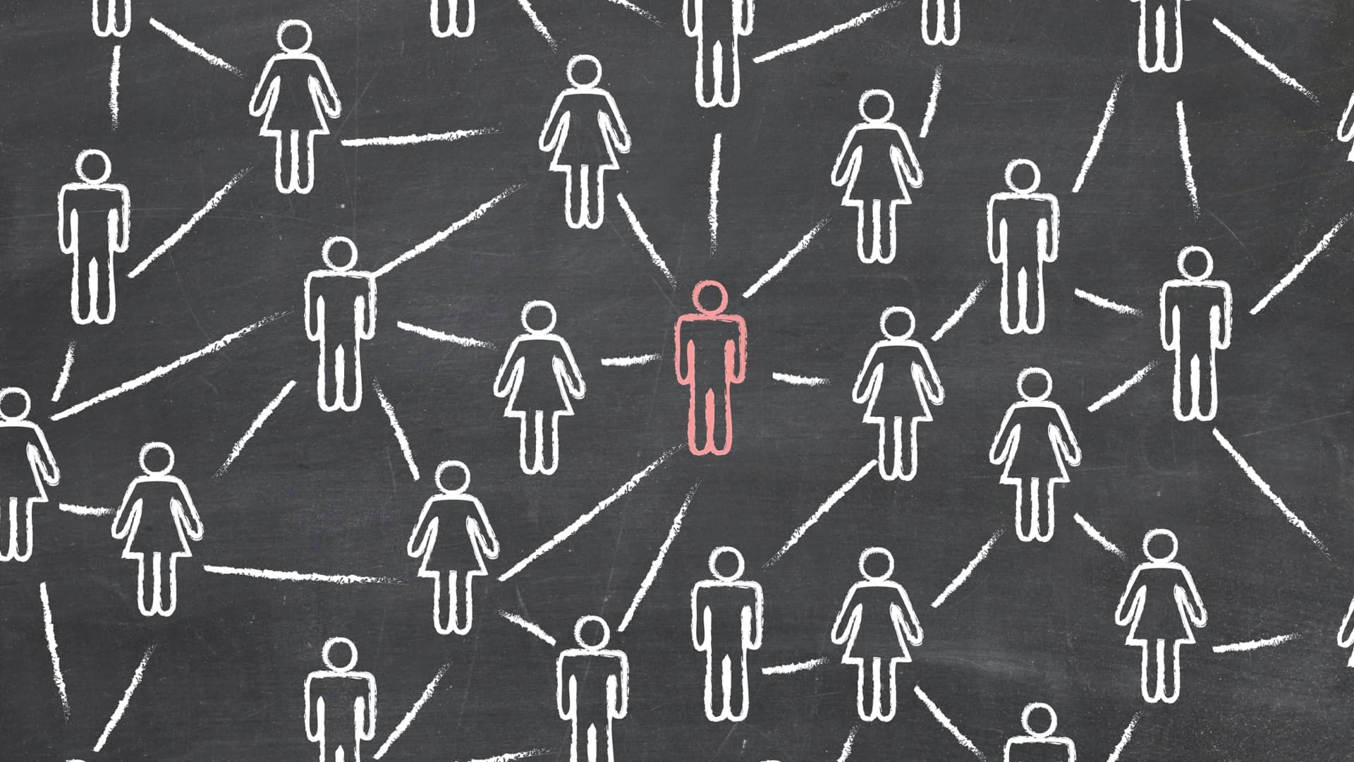
The Center for Human Dynamics in the Mobile Age uses a geographic lens to examine social media feeds to better understand human interactions.
When Virginia agency was overwhelmed by mysterious seed reports, putting them on a map helped guide response and analyze potential harm.
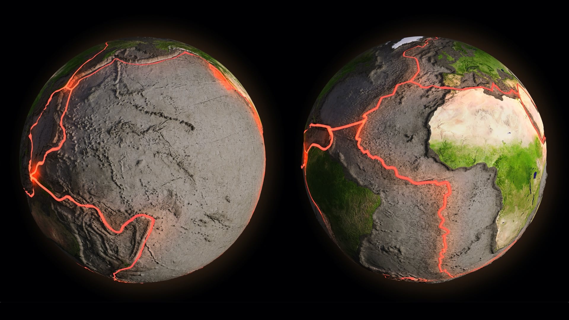
Geodesists map changes on our ever-shifting planet, recording and mapping how Earth transforms to ensure accurate measurements.
Pertamina Geothermal Energy gains a more complete understanding of operations by applying GIS technology to analyze efficiency.
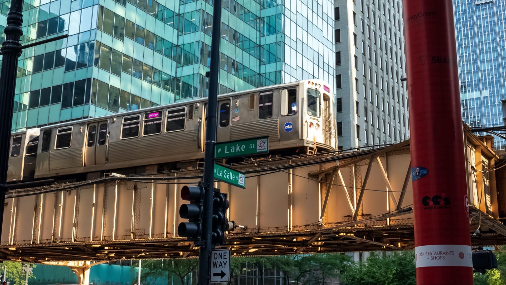
RTA applies location intelligence to understand changes in revenue and ridership to survive the pandemic.
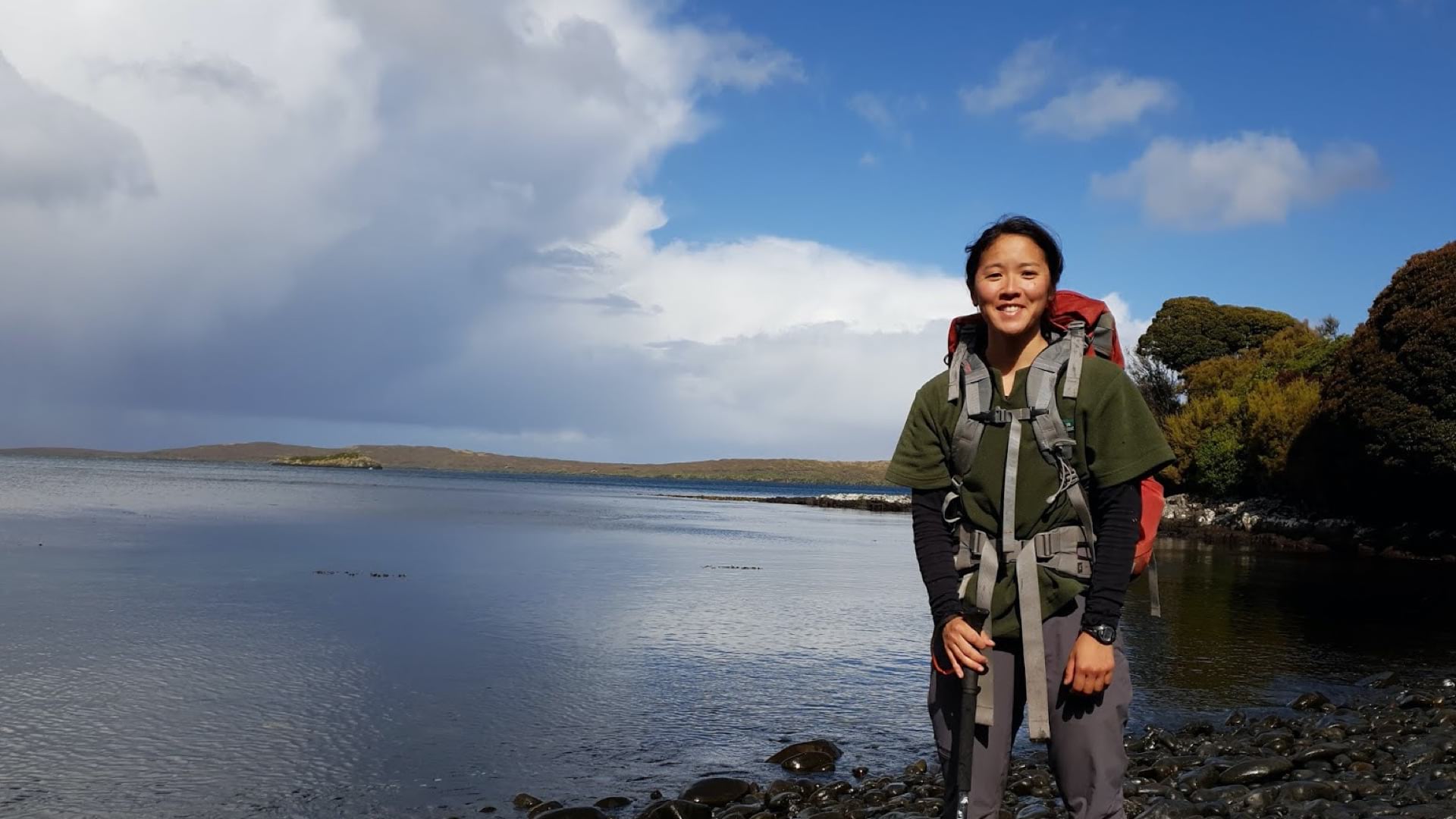
A young geospatial analyst with the New Zealand Department of Conservation tests strategies to catch wild cats destroying native species.
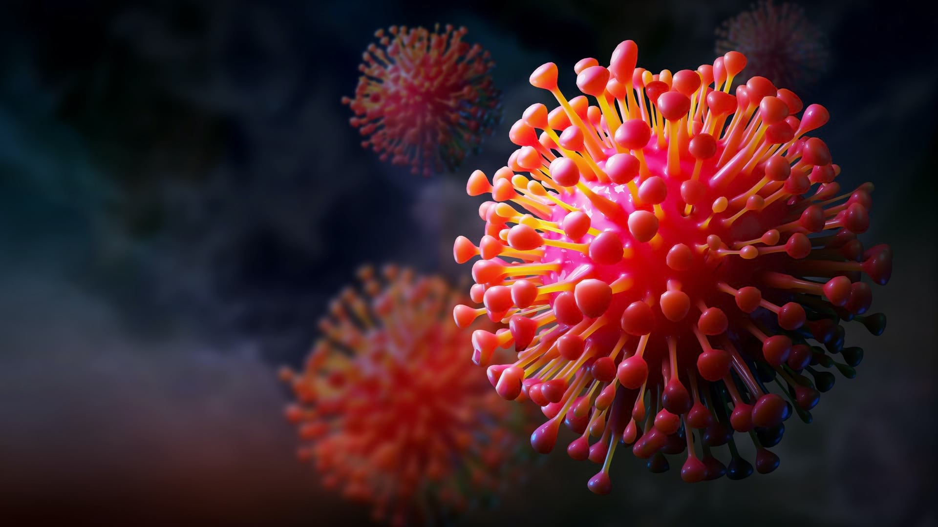
CDC uses mapping to monitor the spread of COVID-19 at the county level, following up on any spike to lend a hand in quelling every outbreak.
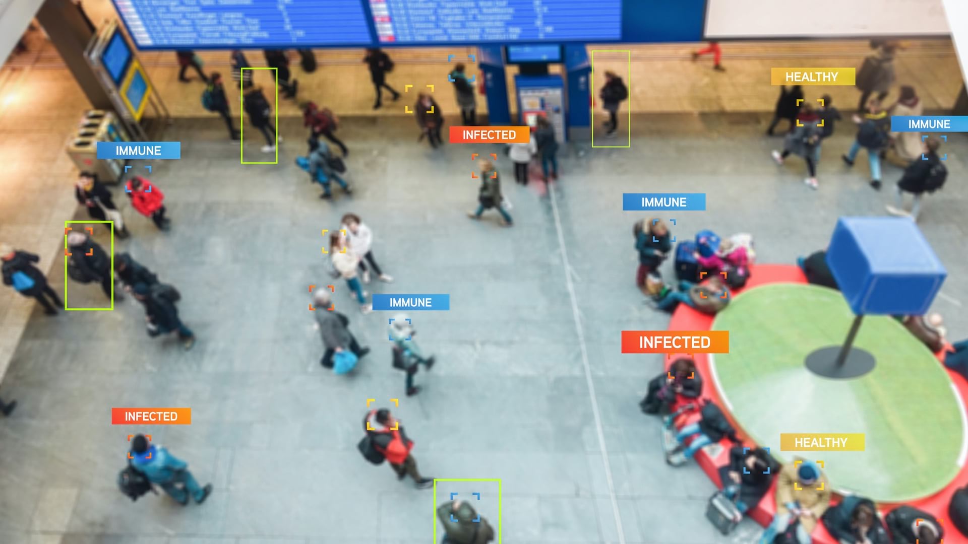
With today’s level of mobility, adding location to contact tracing can help cast a net to slow down the spread of COVID-19.
Geospatial technology improves economic, social, and environmental outcomes.
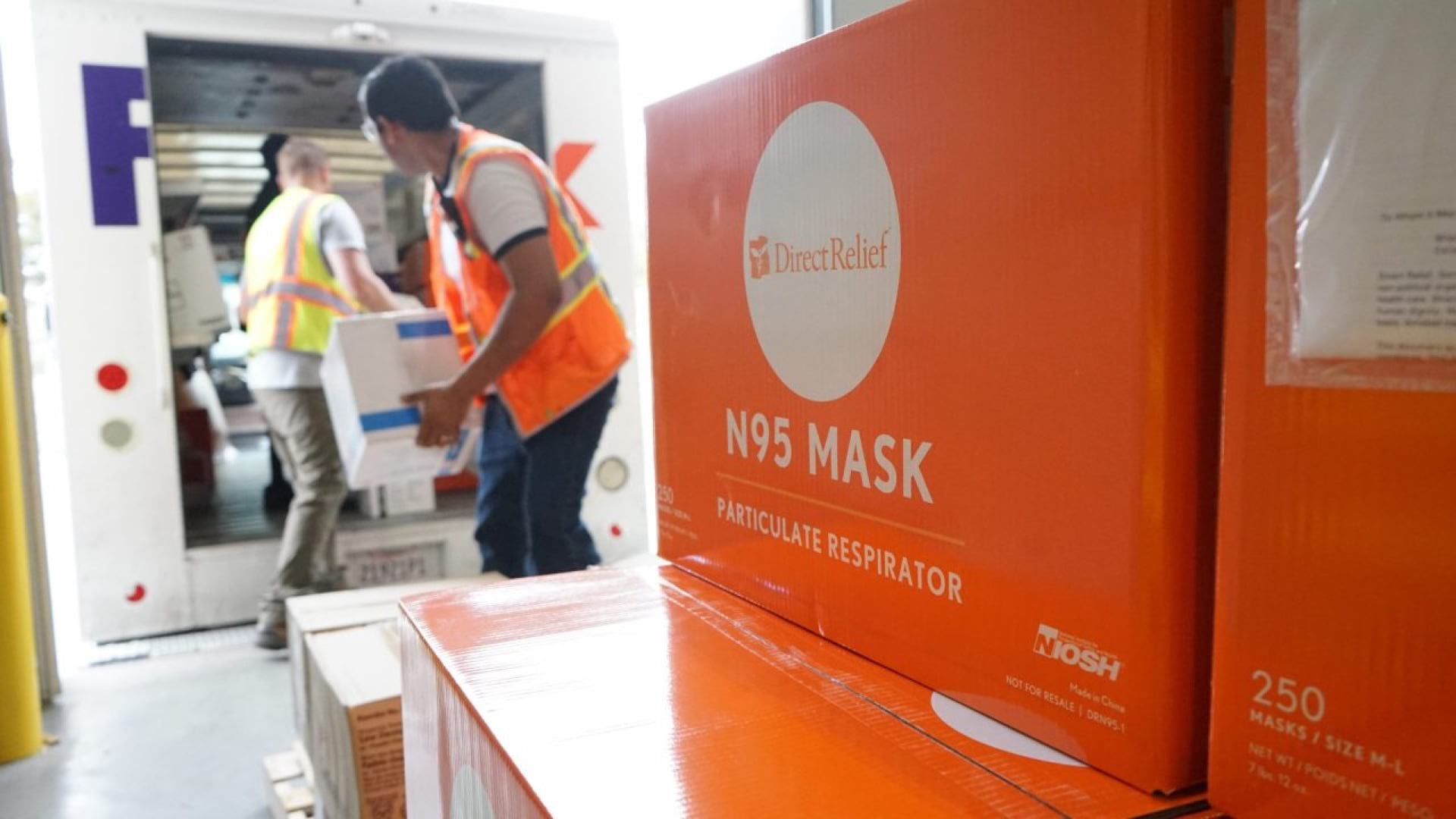
Direct Relief uses GIS to create distribution maps to solve medical supply chain problems in times of crisis.