displaying 3013 results
Esri Academy LMS Integration delivers professional development and training via organizations’ own enterprise learning management systems.
Wisconsin Emergency Management leveraged ArcGIS Online to recover more quickly from destructive floods.
The US Department of Agriculture’s (USDA) Risk Management Agency developed an application to help farmers when applying for crop insurance.
The Washington, DC, Department of Transportation uses ArcGIS and 360-degree imagery to manage curbside spaces throughout the capital.
Local governments & decision makers often have only limited access to the critical information necessary to support choices for managing social…
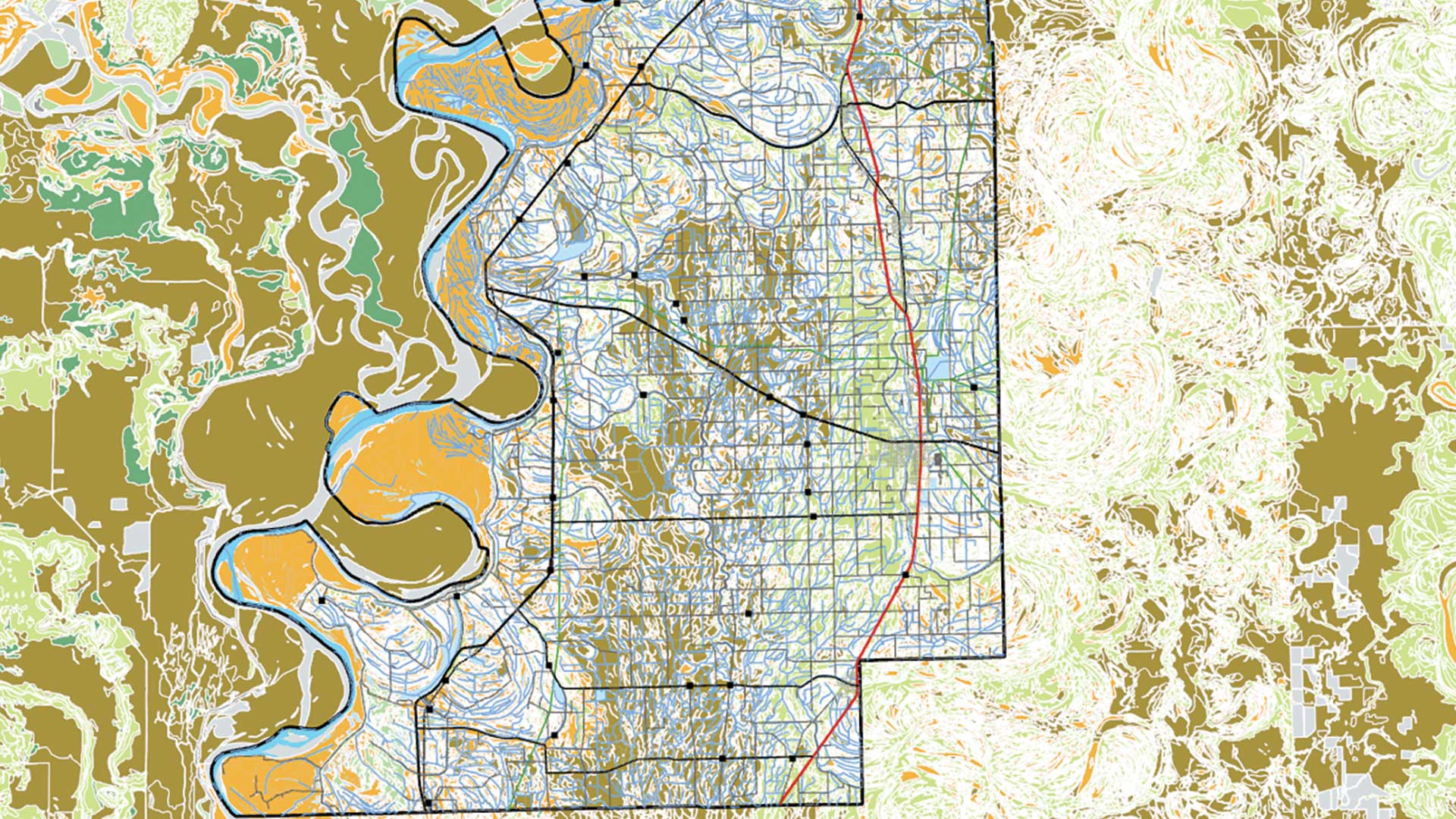
This exercise teaches a data management workflow that uses the Soil Survey Geographic Database (SSURGO) service.
By any measure, the numbers are staggering: 570,000 parts, 20,000 flights each month. FedEx manages it all with help from GIS.
Ol Pejeta Conservancy maps and monitors critical wildlife, including the last two northern white rhino, to preserve biodiversity in Kenya.
Oil is valuable, but if unrefined, it cannot really be used. So must data be broken down and analyzed for it to have significance.
Oil is valuable, but if unrefined, it cannot really be used. So must data be broken down and analyzed for it to have significance.
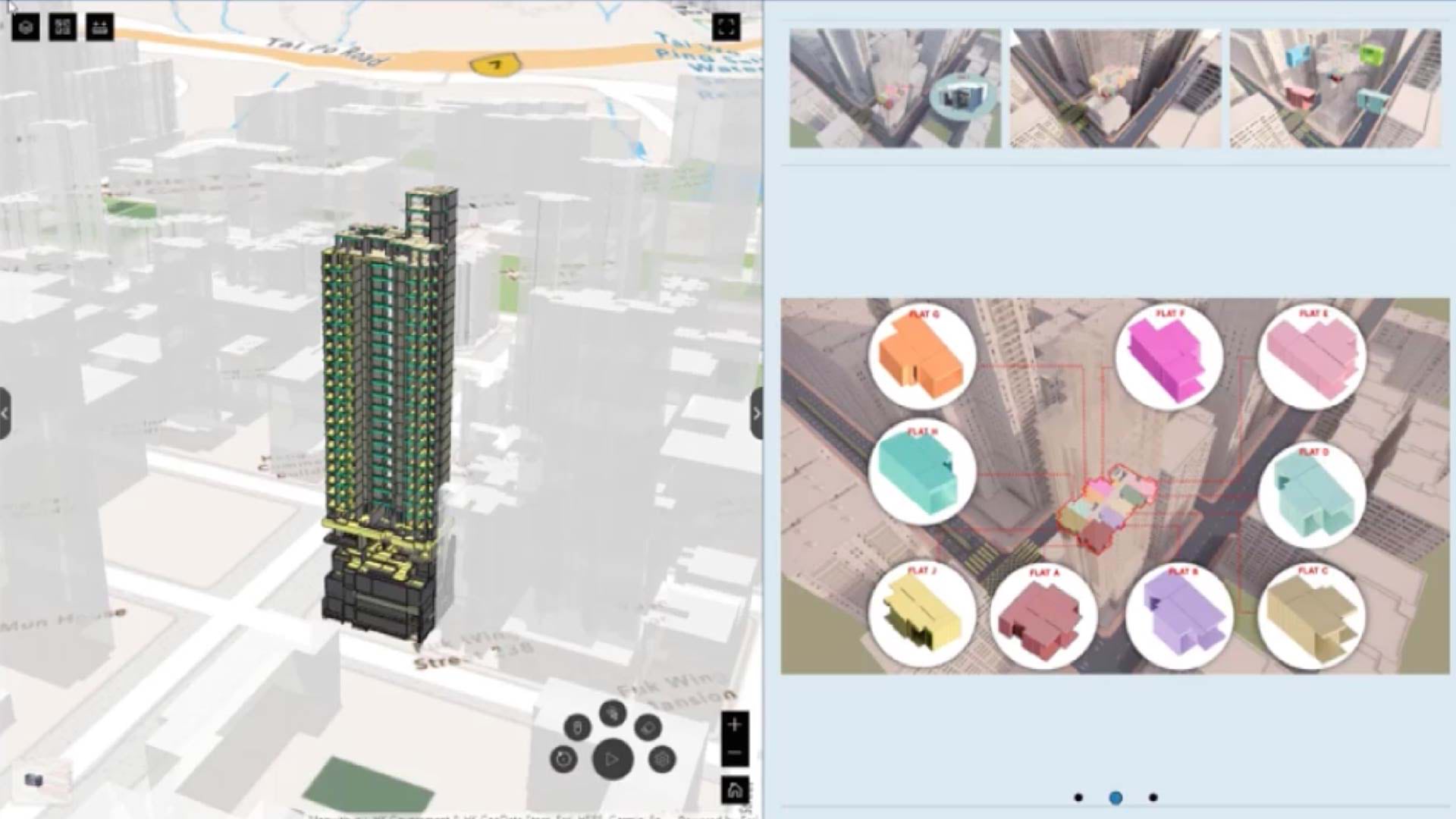
Digital twins are helping firms create the future of construction, raising standards for safety, efficiency, and smart planning.


