displaying 4561 results
The technology for applying the geographic approach—GIS—is expanding our world.
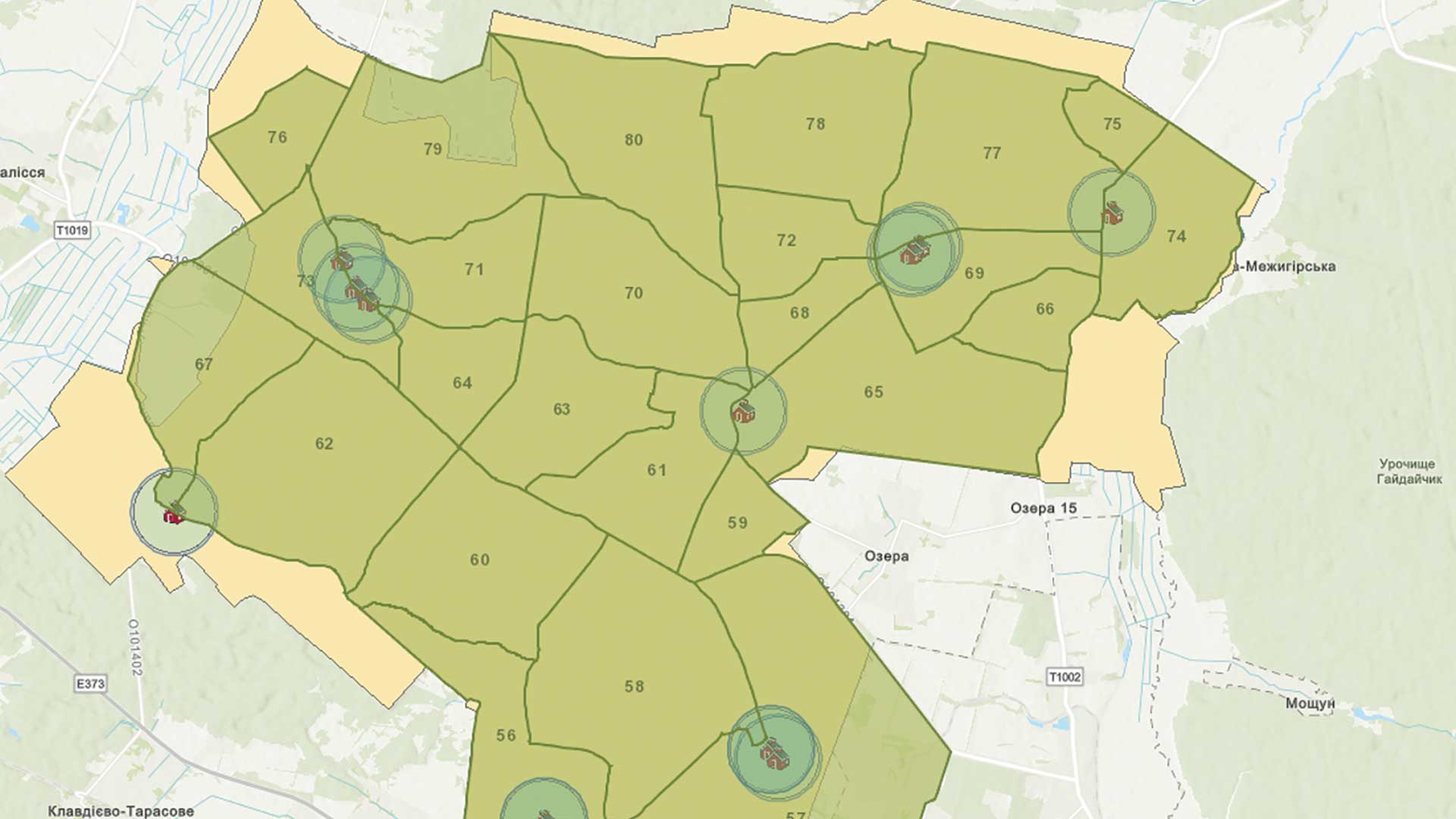
GIS is being used to meet the tremendous challenge of rebuilding Ukrainian infrastructure.
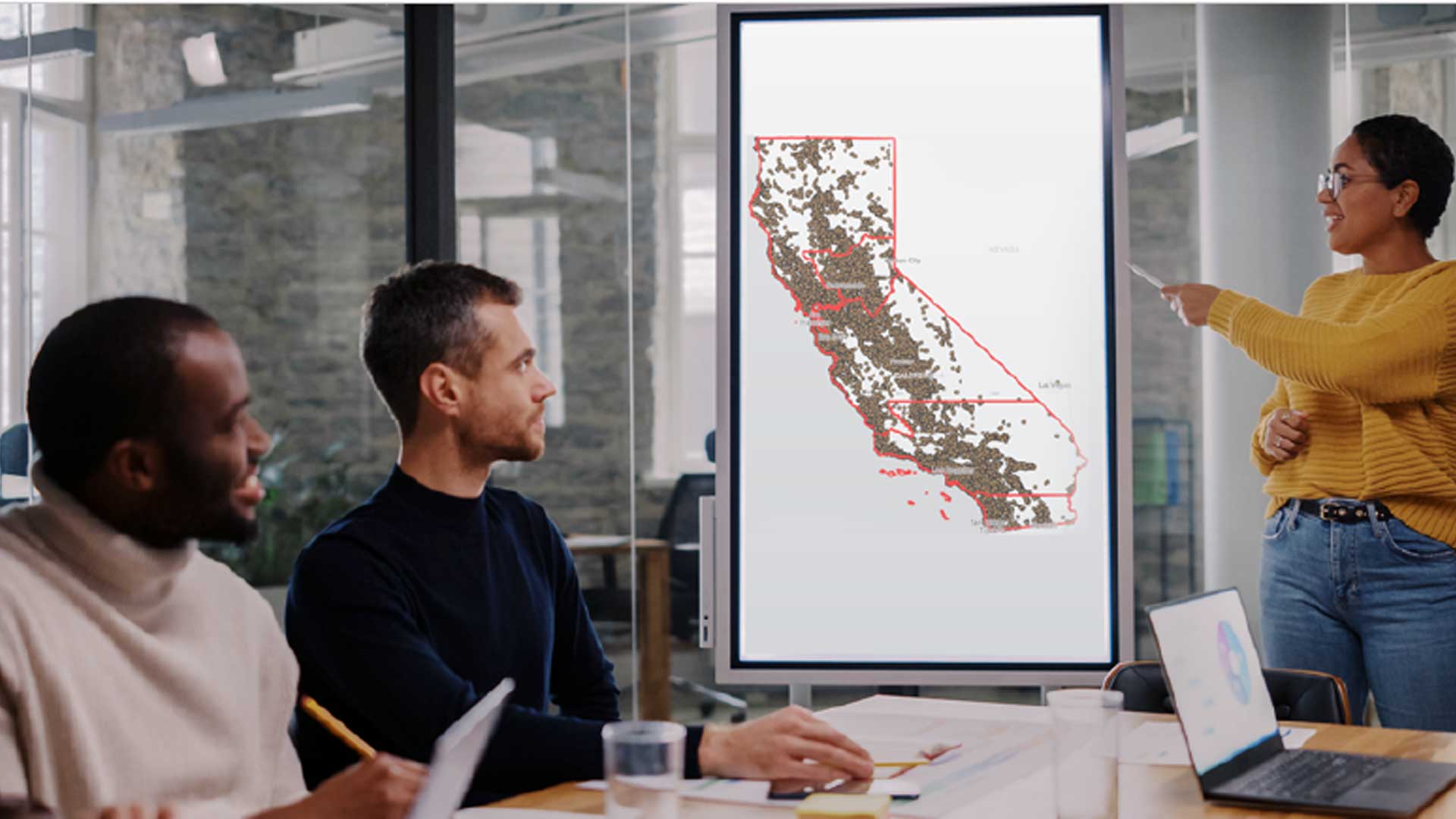
Orange County, California, has one of the most innovative local government GIS implementations.
The GIS for Science series, published by Esri Press, illustrates how GIS is being applied to scientific research.
Chatham County, North Carolina, created an all-in-one solution for its tax department’s recent real property tax reappraisal process using GIS.
Sid Pandey shares tips on taking charge of your career and raise your profile.
The W. P. Carey School of Business at Arizona State University (ASU) is expanding its location analytics courses.
Researchers are using GIS to more effectively site tracking stations that gather data on migratory birds to help reverse population decreases.
GIS governance offers a formal structure for making and managing decisions about the long-term direction of a geospatial program.
Esri Small Nonprofit Organization Grant Initiative helps nonprofits improve their operations with GIS.
Collect data using ArcGIS QuickCapture and your voice
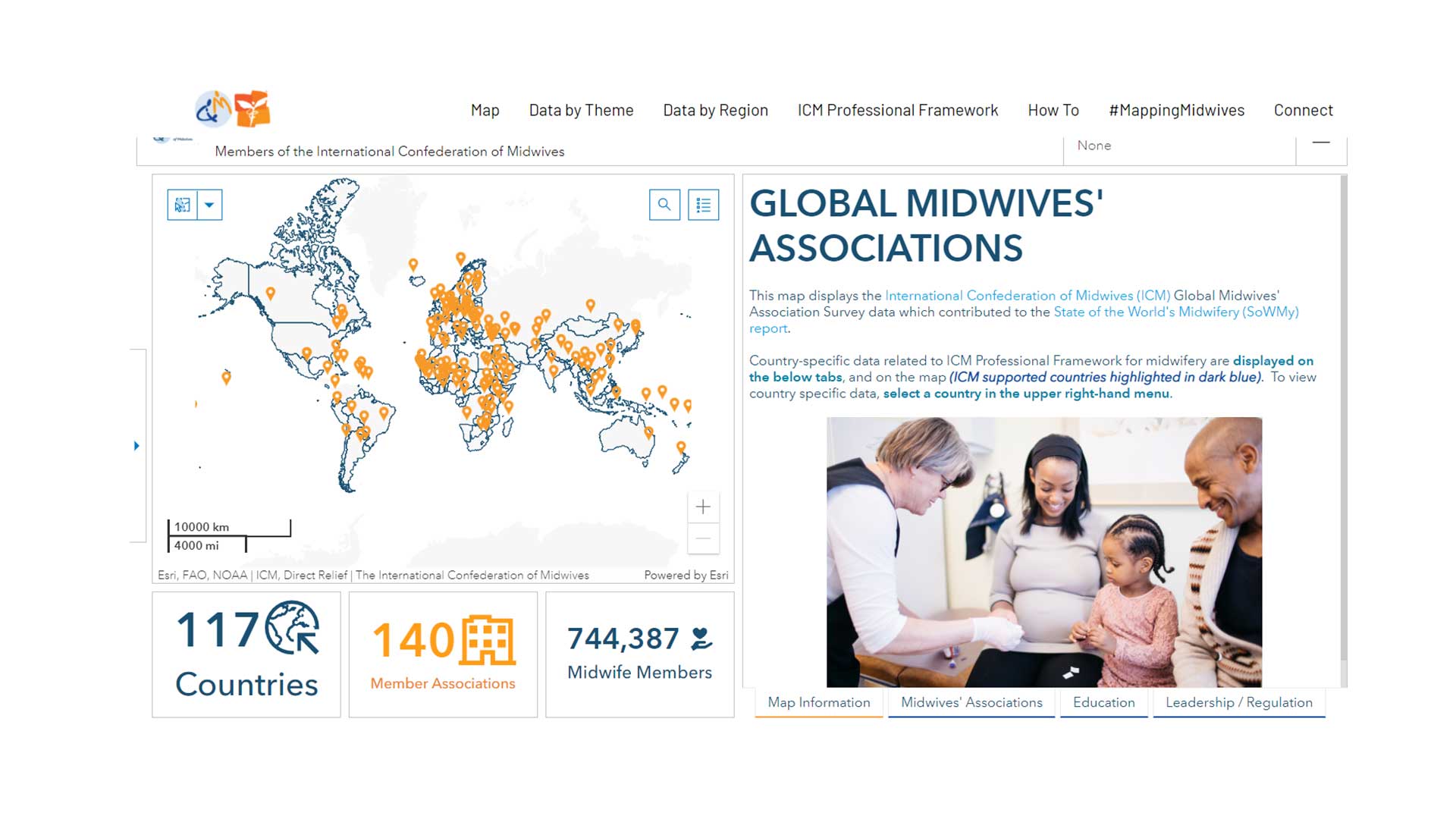
GISCorps volunteers aids Direct Relief to create a data sharing site for the International Confederation of Midwives.


