displaying 4700 results
Advanced technology from Esri startup partner VODA.ai reduces nonrevenue water loss by finding pipe weaknesses before they fail.

Esri’s new racial equity initiative aims to help users leverage location intelligence to address issues that revolve around race.
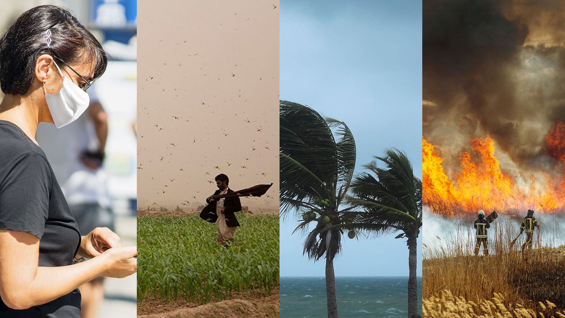
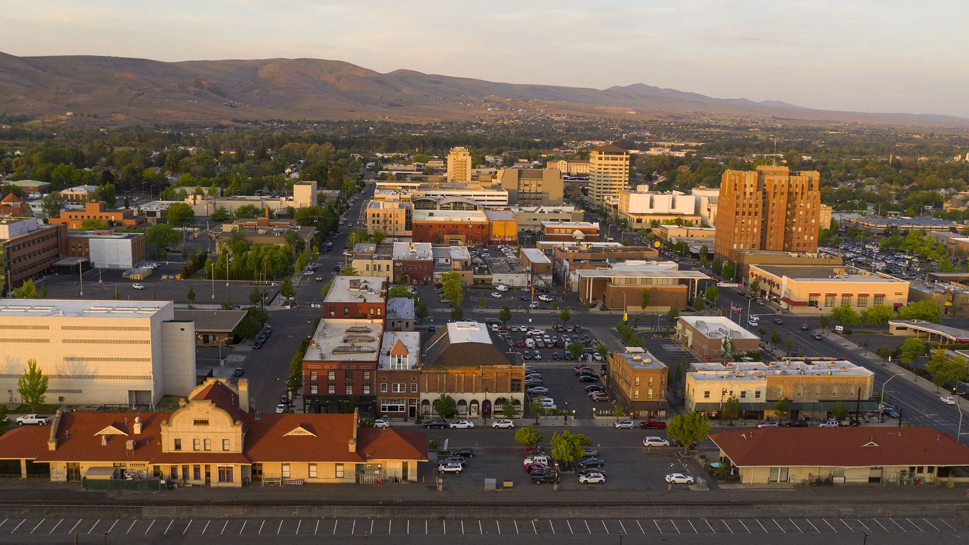
In this time of global calamity, organizations should get ready for what may come next. Building resilience could make all the difference.
Business schools at colleges and universities are increasingly integrating location analytics into the curriculum. How will this help students?

Esri’s Disaster Response Program received more requests for assistance in the first few months of the COVID-19 pandemic than it ever had.
ArcGIS Mission helps teams better understand their operations, make informed decisions in real time, and gain intelligence.

While the geography-adjacent job market is keeping pace with other industries, US students’ understanding of geography is flatlining.

The Topeka Public Works Department uses ArcGIS Insights to organize and present budget information in an easy-to-understand way.

Terese Flores shone brightly as a GIS hero during the COVID-19 crisis in New York City—as she does every day as a manager at NYC Parks.
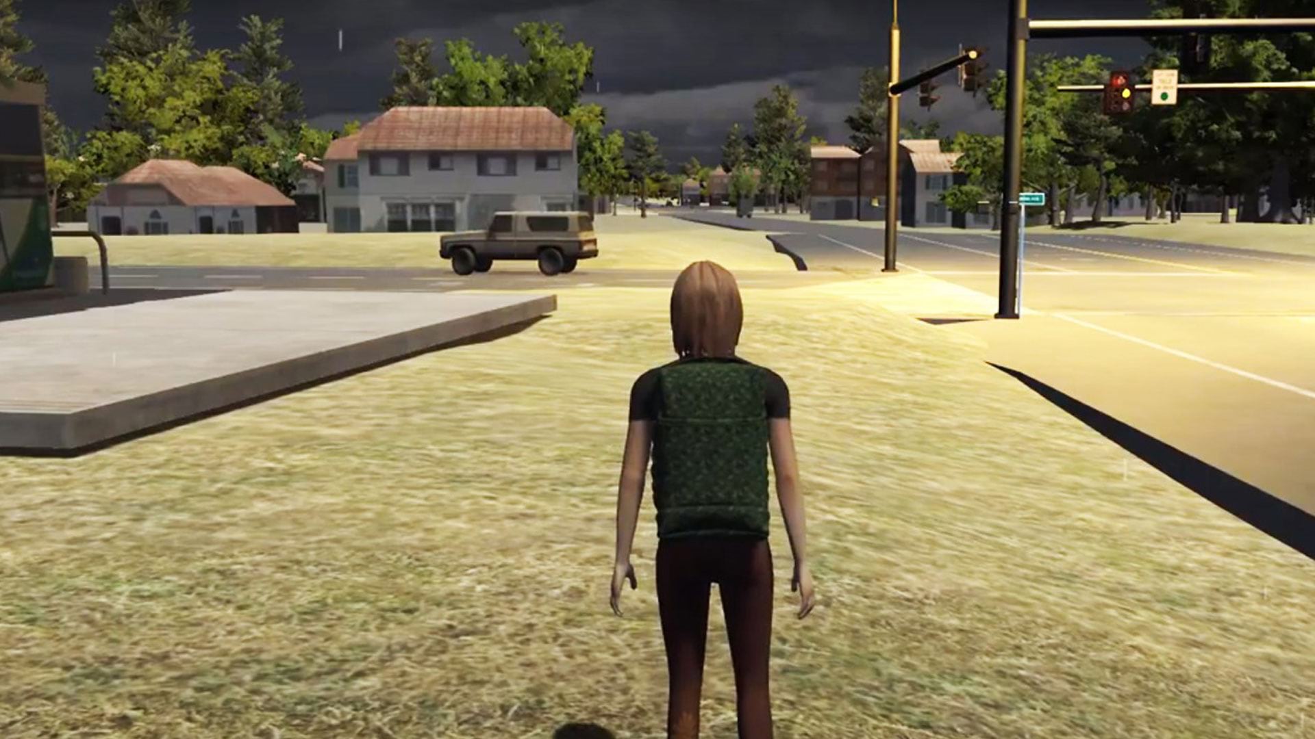
See how researchers at Rochester Institute of Technology (RIT) in New York used ArcGIS to create serious games for disaster response.

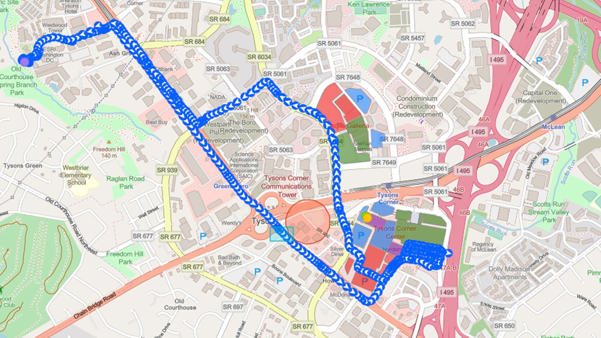
To better identify sections that need maintenance or could become commerce choke points, Esri partner SymGEO implemented ArcGIS Dashboards.

You can find authoritative geospatial data on North Carolina at NC OneMap, a portal created using ArcGIS Hub.