displaying 2991 results
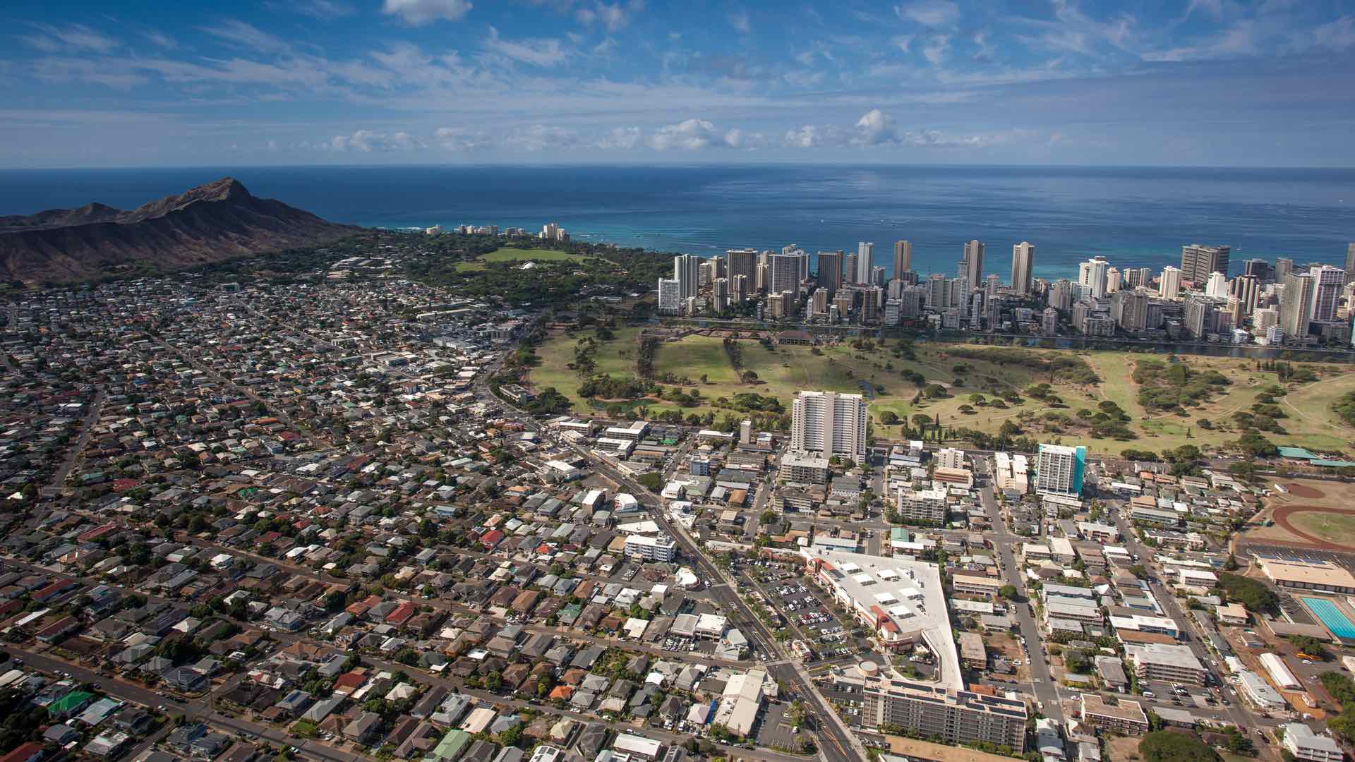
Honolulu analyzes the impacts of short-term rental units to strike a balance between the needs of tourists and locals.
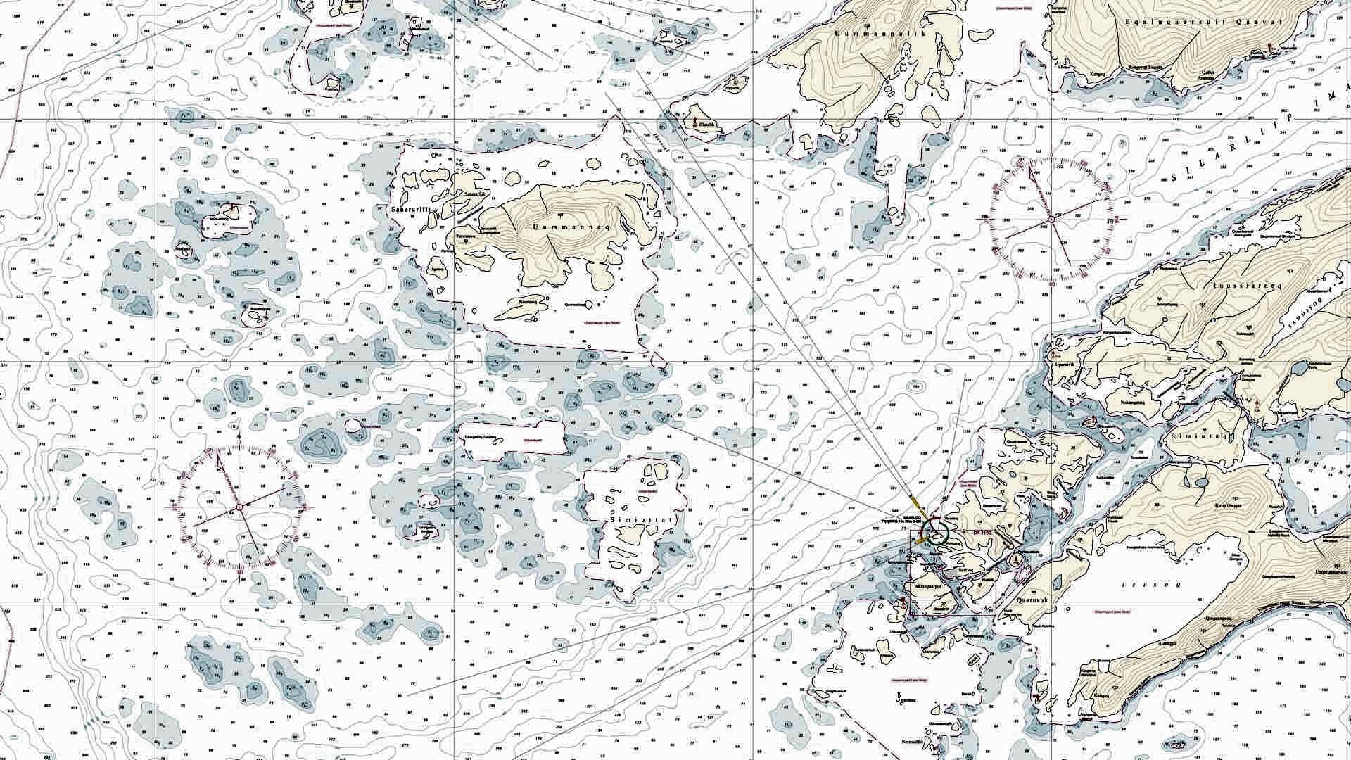
To keep up with rapid changes in Greenland’s melting landscape, the Danish Geodata Agency works to automate and standardize navigational charts.

GIS provides a common operational picture to integrate inputs from sensors, individuals and other technologies to provide situational awareness
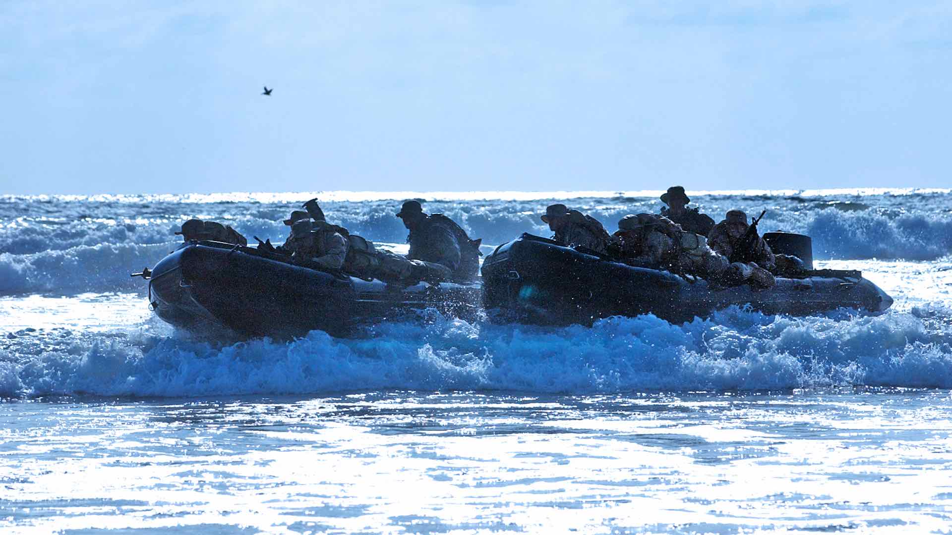
The US Navy achieved plug-and-play integration with many sensors speaking the same language and serving inputs into a GIS.

GIS helps track the movement of geomagnetic north and to calculate the change in order to improve navigation.

Protect Our Winters uses GIS to research the economic impacts of low snow totals, using dollars and cents as a motivator in their outreach.

Global positioning has changed mapmaking and wayfinding and introduced the means of tracking movements at the global scale.

Tempe teams with researchers and first responders to provide near real-time data on drug use in order to combat the opioid epidemic.

Investigators used real-time GIS to search a 300-acre property, coordinating the efforts of personnel from more than 20 agencies.
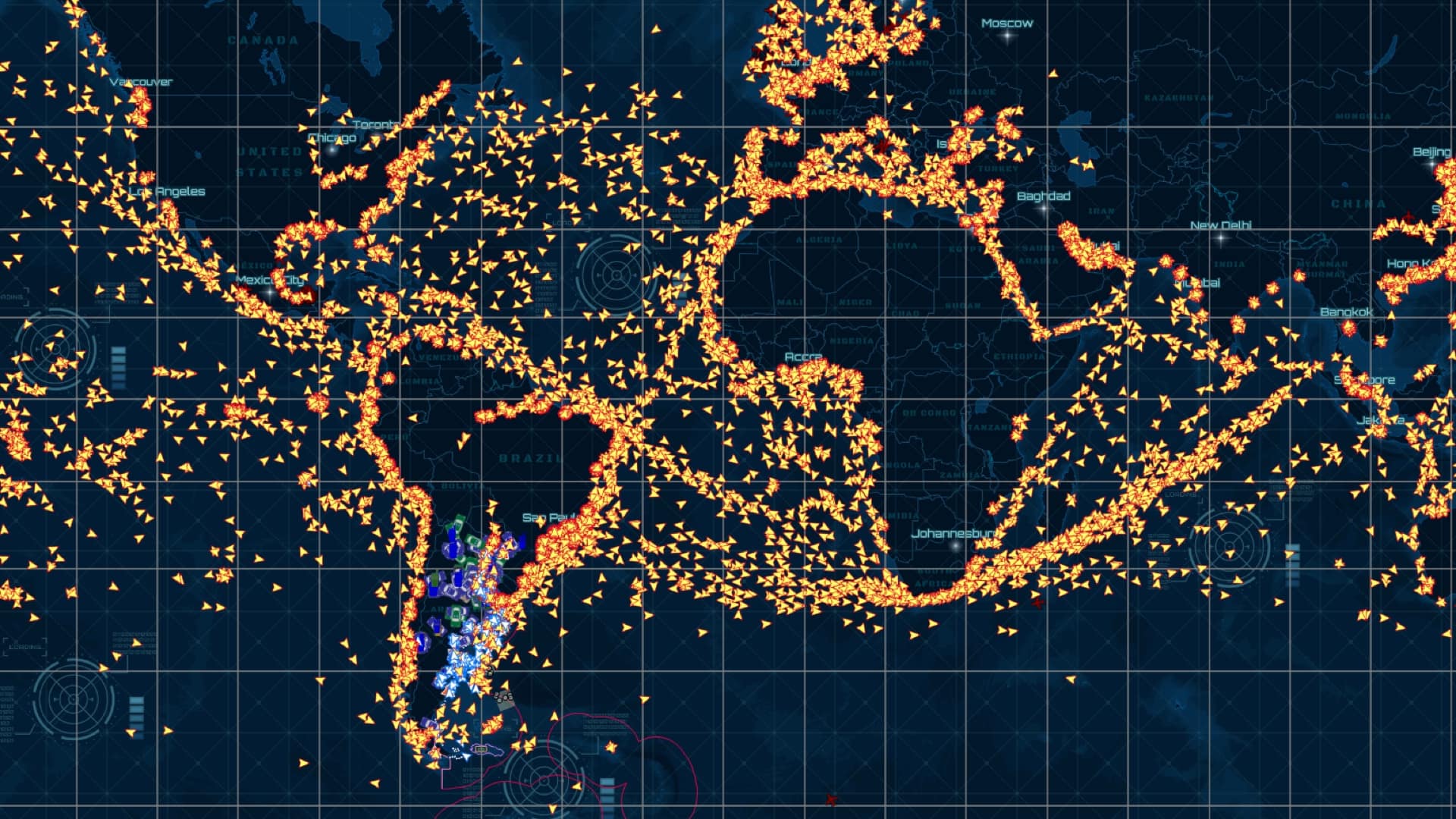
The Argentine coast guard, Prefectura Naval, created Guardacostas to track the movement of foreign fishing fleets that fish its coastal waters.

Boston’s digital twin, a 3D GIS model of the city, helps city planners, developers, and citizens to evaluate proposed development.
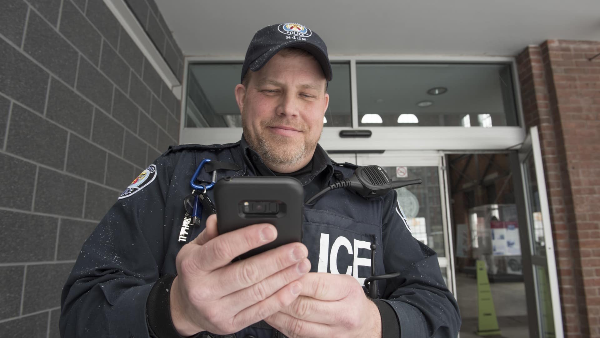
Mapping apps deliver targeted information to police officers in the field that improve their community connections.