displaying 3013 results

Los Angeles County’s Safe, Clean Water Program (SCWP) uses geospatial technology to manage 200 stormwater projects and studies.

Master's programs at the University of Redlands, California prepare students to excel in GIS careers.

After a two-year hiatus, the Esri Developer Summit was back as an in-person event as well as a virtual one.
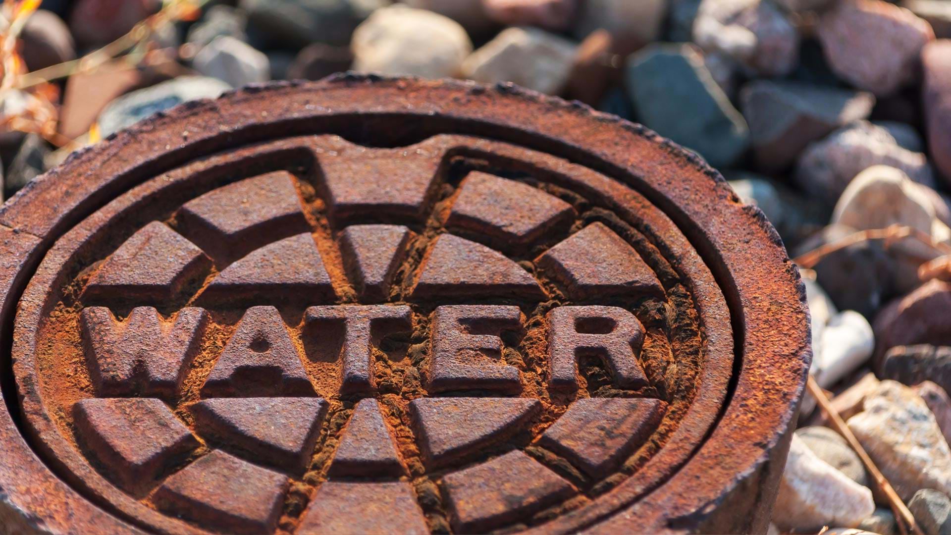
To meet the demands of a rapidly expanding customer base, a Florida utility realized it needed a variety of solutions that would empower its wor…
In the spring of 2015, New York State's Office of Planning and Development (OPD) released a user-friendly gateway to its geographic information…
This article describes how administrators can implement custom roles and presents an example showing how roles were implemented in a real ArcGIS…

The December update of ArcGIS Online includes a series of reports to more effectively manage organizational accounts.

Long-distance travel went on hiatus during the COVID-19 pandemic, but it’s returning. Just don’t be surprised if no one’s at the front desk.
A linear asset risk model now helps Omaha’s Metropolitan Utilities District prioritize water main renewal and assessment projects.
Tellus Border, an ambitious project that surveyed the rocks, soil, and water in six border counties in the Republic of Ireland between 2011–2012…
Cloud-based GIS from Esri helped the staff at Wall Street Network (WSN) keep producing online maps even after flooding from superstorm Sandy...