displaying 3013 results
Wisconsin maps forever chemical contamination sites and water test results to alert the public and prioritize cleanup.
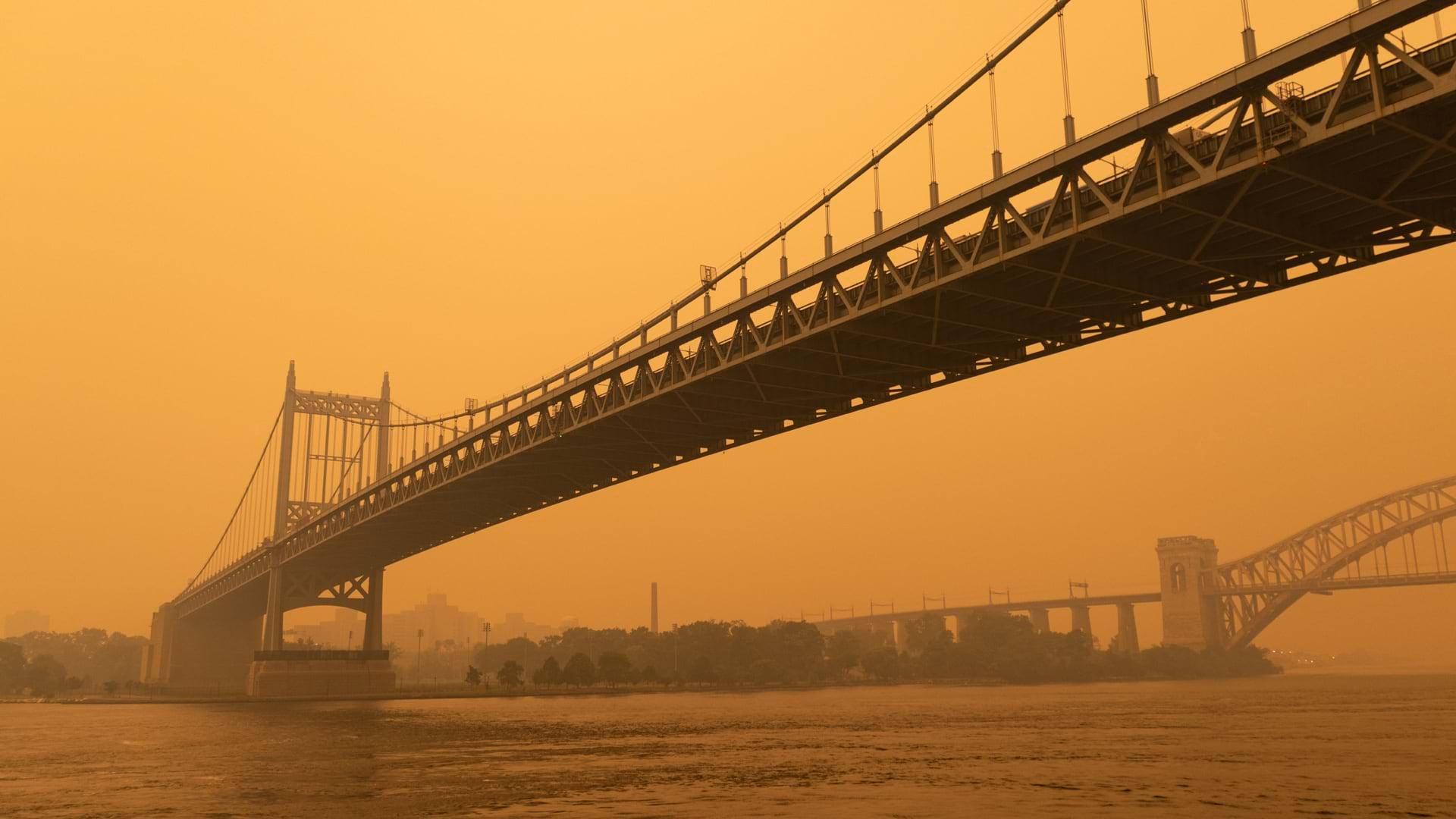
A combination of scientific and crowdsourced sensors map air quality and track the impact of wildfire smoke across North America.
Never before has there been such a focus on equity as it relates to health, and map-based tools starkly reveal the social and racial inequities.
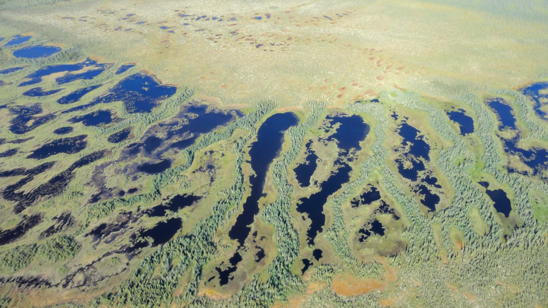
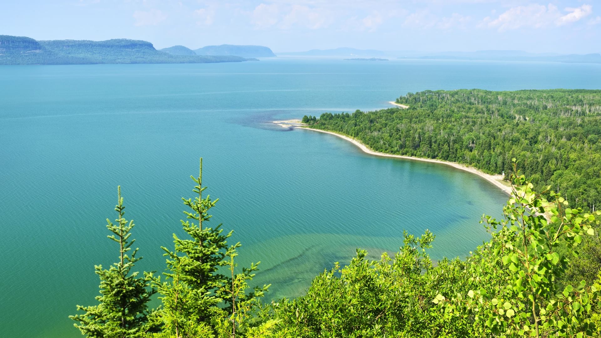
Wildlife Conservation Society Canada partners with Indigenous communities for the stewardship of peatlands, which are susceptible to wildfire.
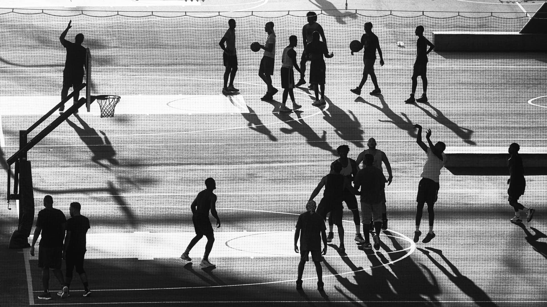
NYPD uses a GIS dashboard and app to communicate participating venues in the Saturday Night Lights youth sports program.
Geospatial digital twins are revolutionizing the perception of complex systems and projects.
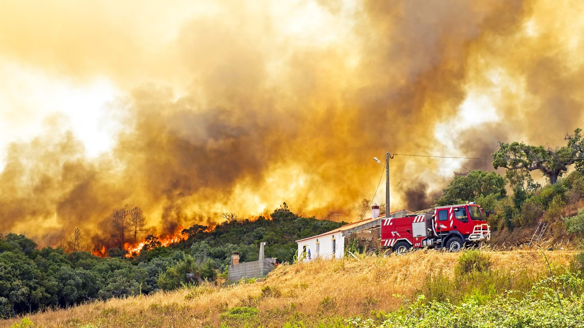
Devastating wildfires led Portugal to adopt a shared real-time mapping capacity to improve response times and enhance preparedness.
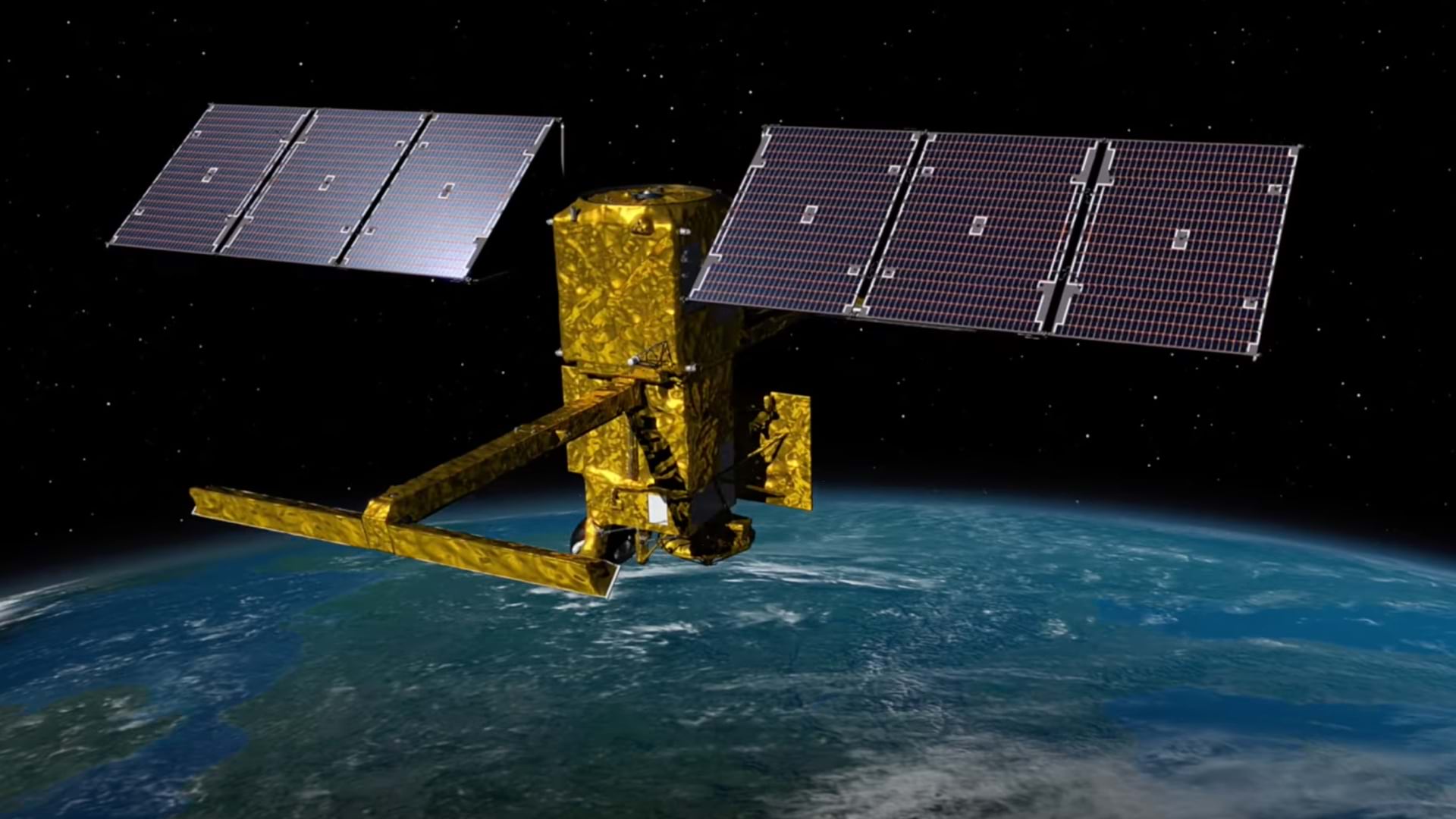
GIS helps scientists analyze, visualize, and store the vast amounts of data collected by NASA’s surface water sensing project.
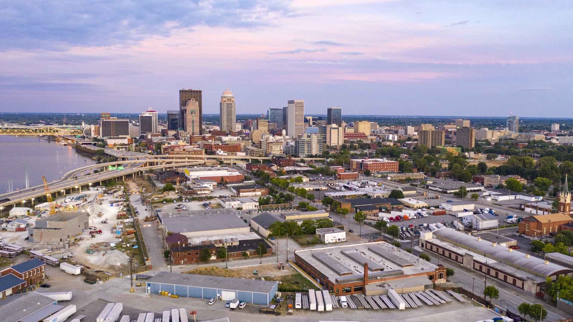
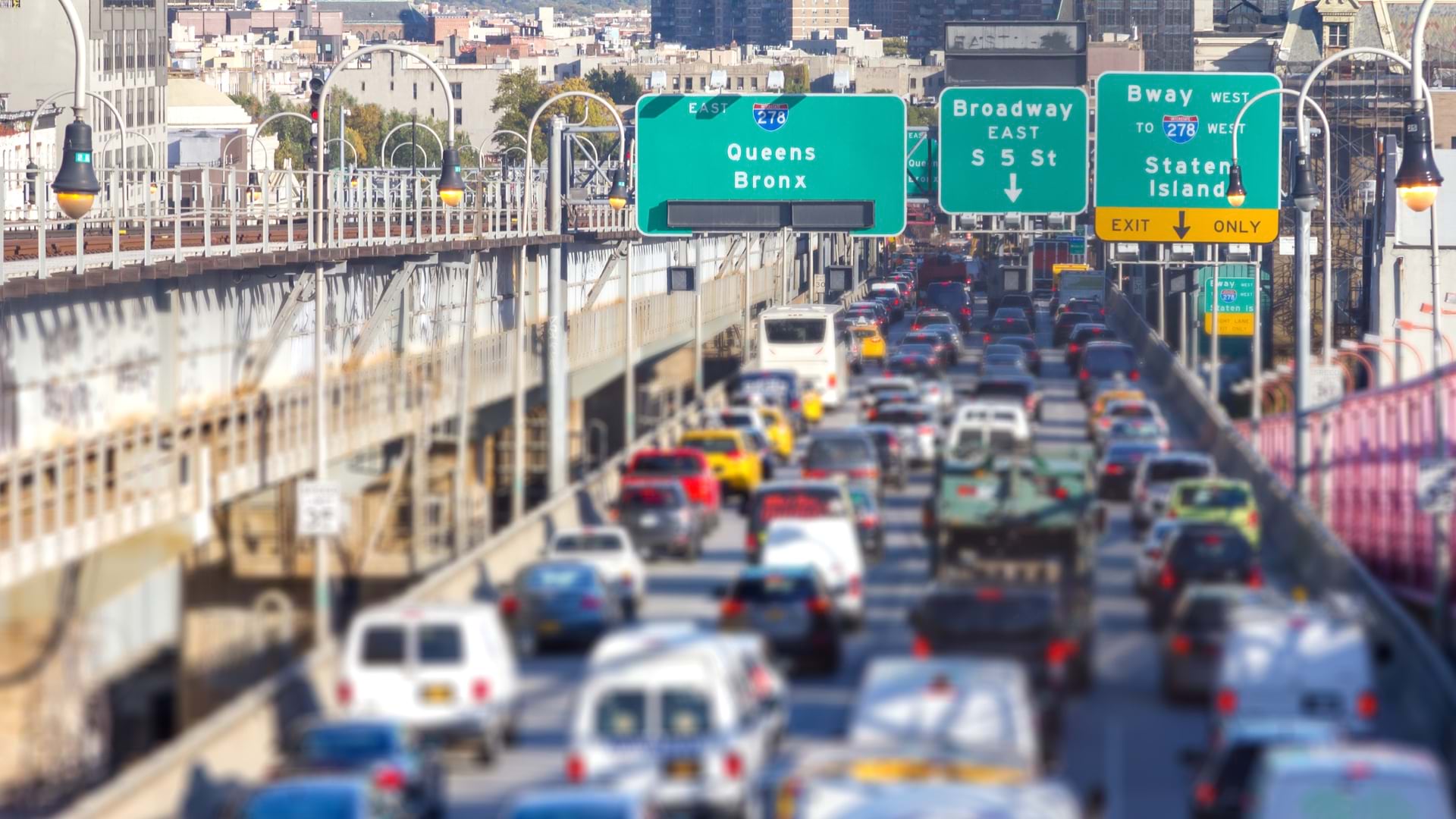
Louisville planners and engineers use map analysis to prioritize road safety projects and advance goal of zero traffic fatalities by 2050.
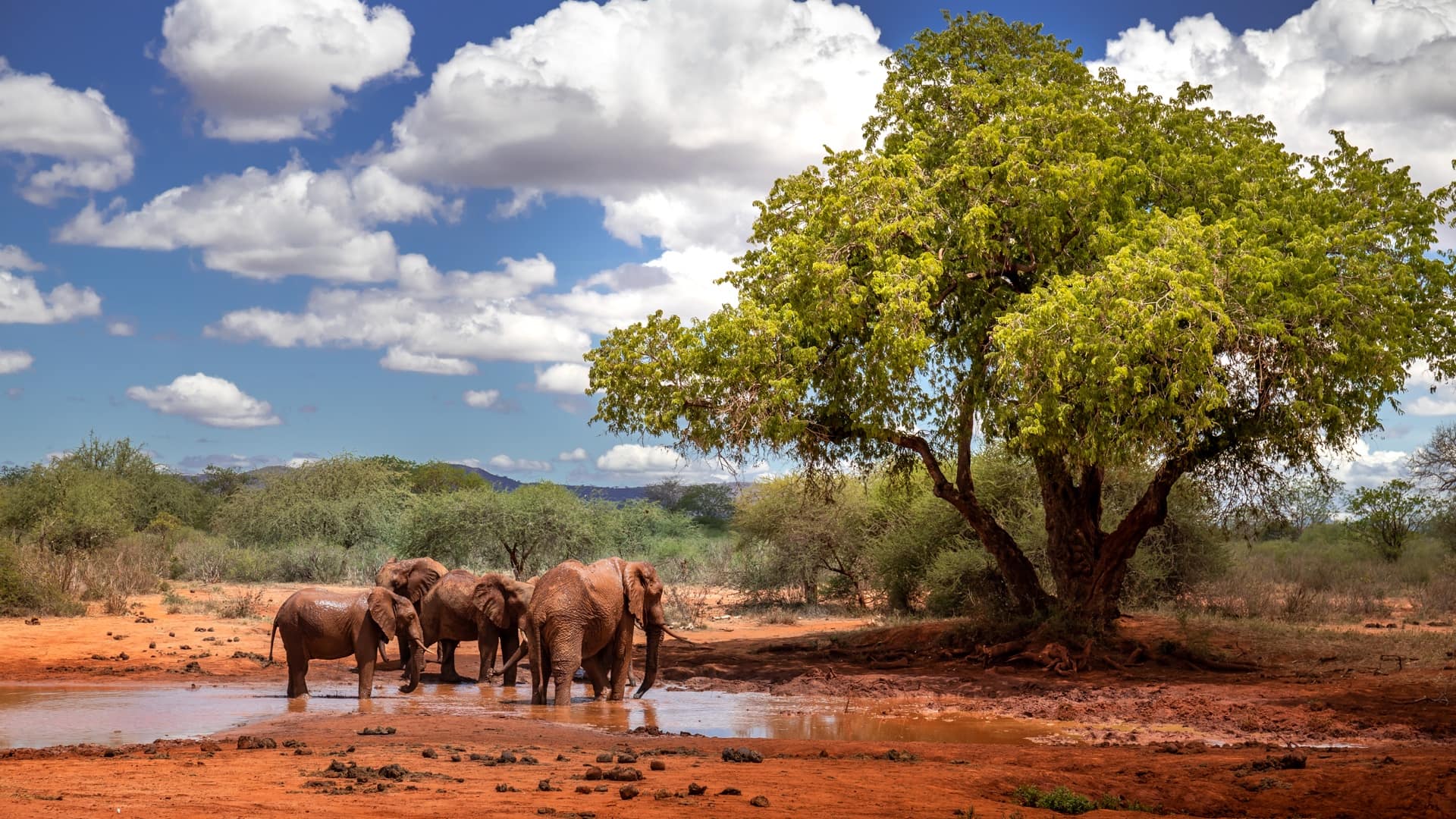
Using geospatial tools, Kenyan researchers reduce human-elephant conflict by analyzing and anticipating elephant movement across Africa.
Los Angeles uses maps to convey where broadband investments are needed to address systemic inequities.
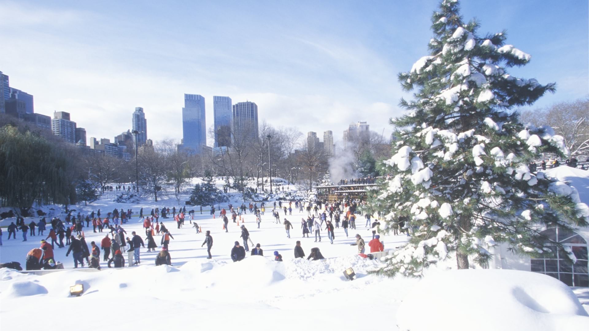
The Trust for Public Land used GIS to analyze the benefits and fiscal impacts of public parks and open spaces in New York City.