displaying 3013 results

Using data and location analytics, corporations are unlocking economic opportunity while promoting equity and sustainability.

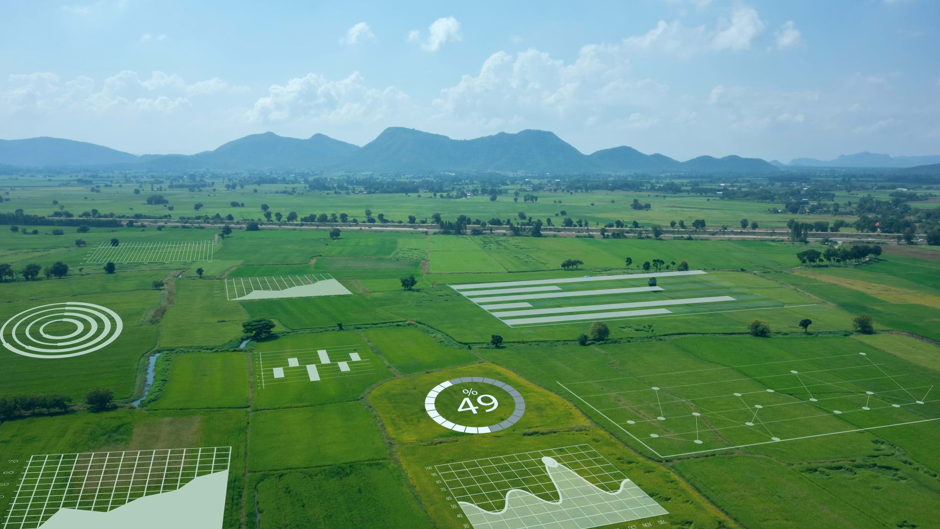
Using big data analytics, AI, and location intelligence, businesses can speed decisions, empower employees, and earn customer loyalty.

For the 2019 Rose Parade, the Pasadena Fire Department relied heavily on ArcGIS technology, including the new Tracker for ArcGIS app.

Esri partner Meshek & Associates employs ArcGIS technology to help communities with their water, sewer, and emergency management needs.

Joe Lemeris uses GIS to manage habitat restoration and monitor endangered species. He also has an intuitive sense of geospatial strategy.

Police in Ogden, Utah, used Esri technology to help manage security, traffic, and other issues at a historic railway celebration.

Developed with ArcGIS technology, the model can help resource managers holistically manage fisheries and anglers find new fishing spots.
The consequences of working with bad data are serious. ArcGIS Data Reviewer enables organizations to improve data quality.

For one city, it boils down to a single page of bulleted text that simply describes what the GIS team would like to do.

Real-time awareness helped Bergen deliver a well-coordinated nine-day bicycle race, leading to a new public safety approach for all of Norway.

The Brazilian government uses GIS to help incorporate the fire-management knowledge of Indigenous people in the region into its practices.

Firefighting and fire mitigation are both guided by GIS.