displaying 3031 results
For all of you who miss ArcScripts, you now have the ArcGIS Code Sharing site.
The 52°North Initiative for Geospatial Open Source Software has developed an open-source extension to ArcGIS for Desktop that enables access to…
The ArcGIS Book: 10 Big Ideas about Applying The Science of Where, second edition, and its companion website offer all the information and inter…
This tutorial demonstrates how ArcGIS Pro can generate multiple layouts from a single project and incorporate more sophisticated layer transpare…
Esri Adds Airbus Global Elevation Data to Online Maps; Subscription Simplifies Access to High-Quality Imagery in ArcGIS 10.5 Enterprise; Getting…
Use policy maps to understand issues, illustrate opportunities for intervention, and track progress toward stated goals.
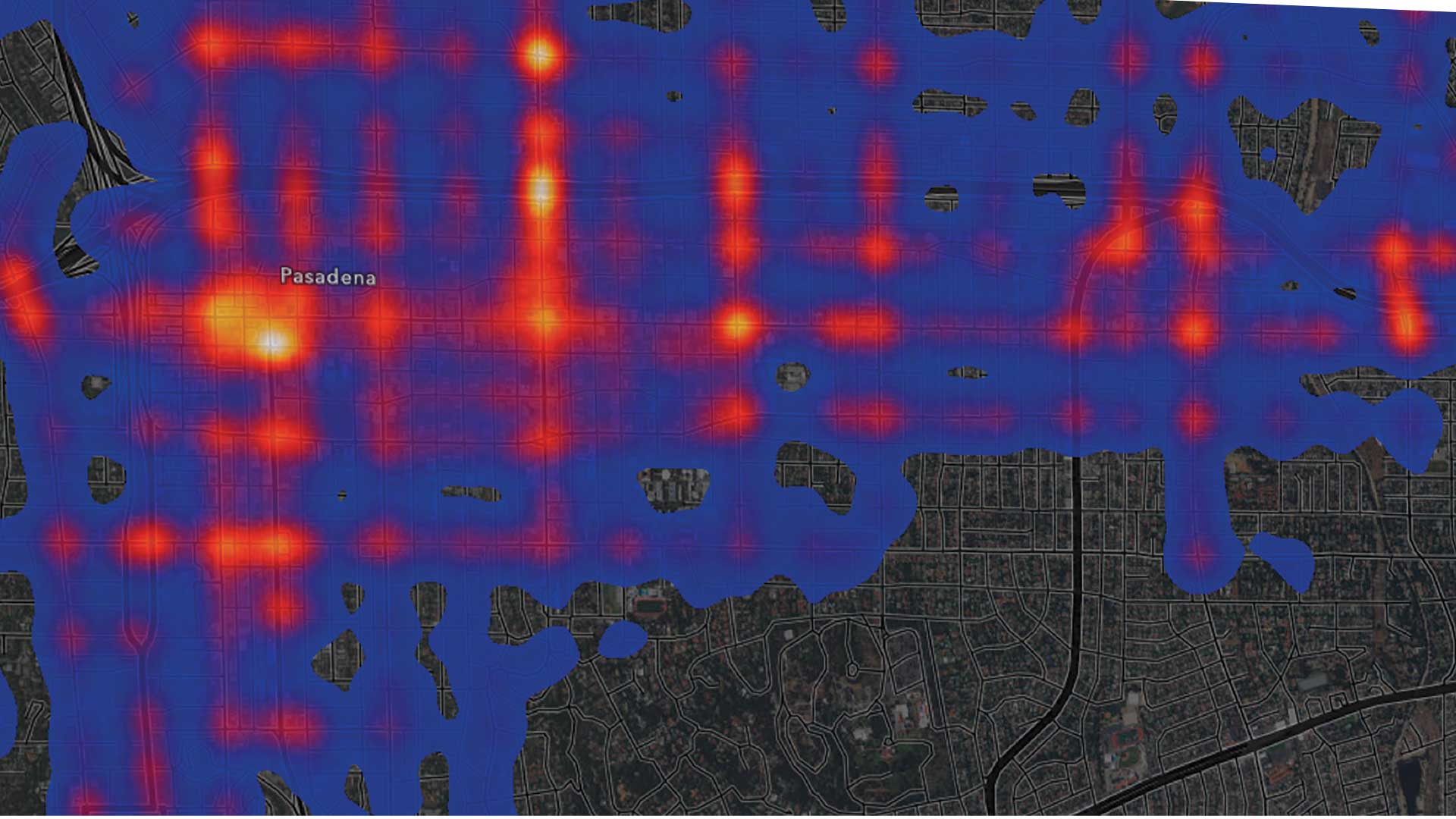
Johns Creek, Georgia, drives economic growth and citizen engagement by making its data available through Alexa, dashboards, and charts.
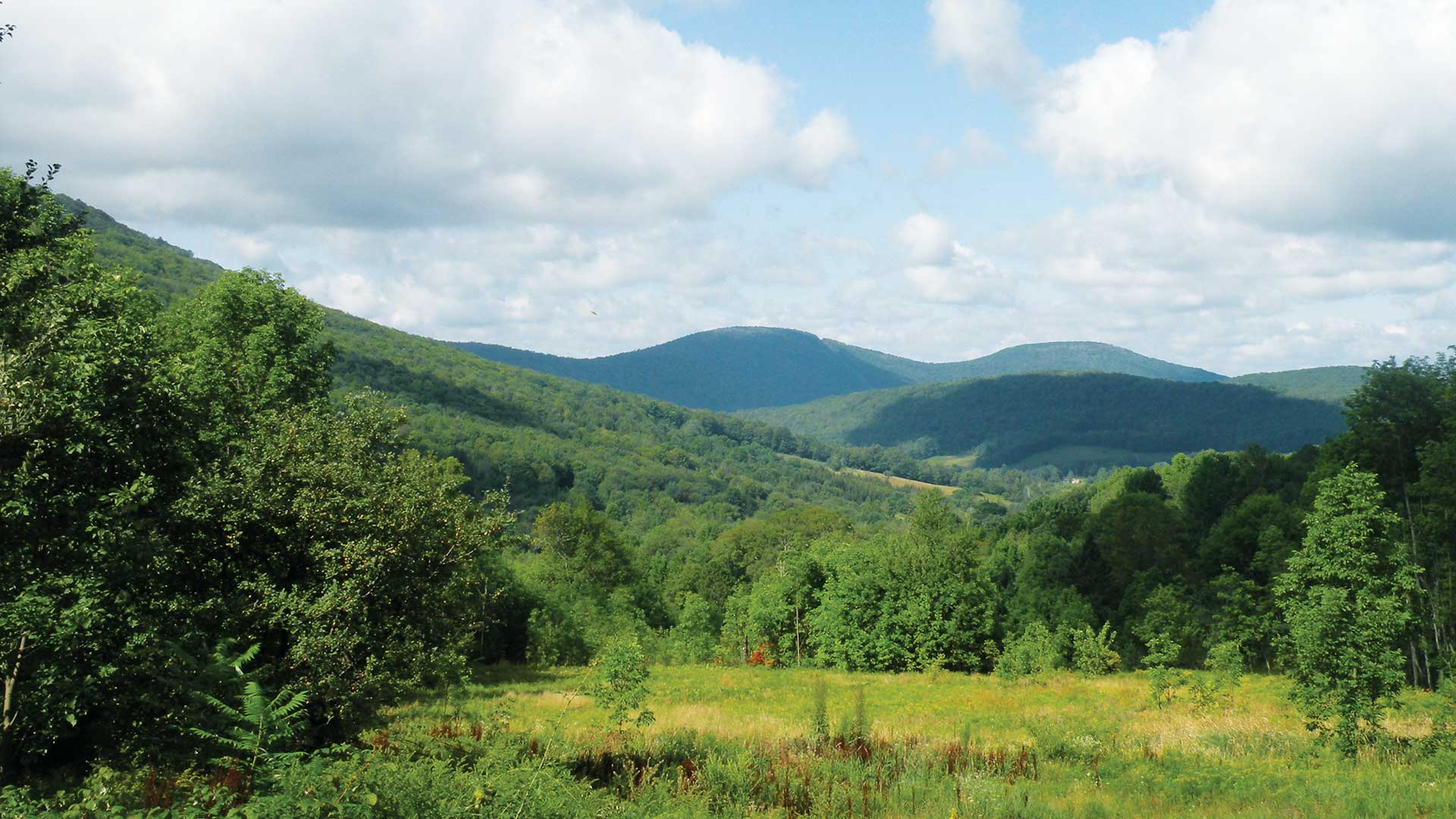
A nonprofit organization dedicated to preserving water quality and a viable rural economy in upstate New York used imagery and GIS.

Esri technology incorporates imagery, 3D, and real-time analysis in redesigning cities that will be more liveable and sustainable.

Government officials must use geodesign approaches to make their cities resilient and sustainable.
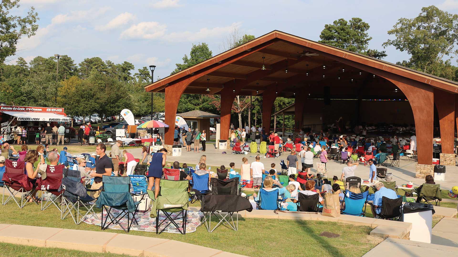
The Geodesign Summit held on January 23–25, 2018 at Esri in Redlands, CA focused on creating more resilient, livable communities using geodesign.
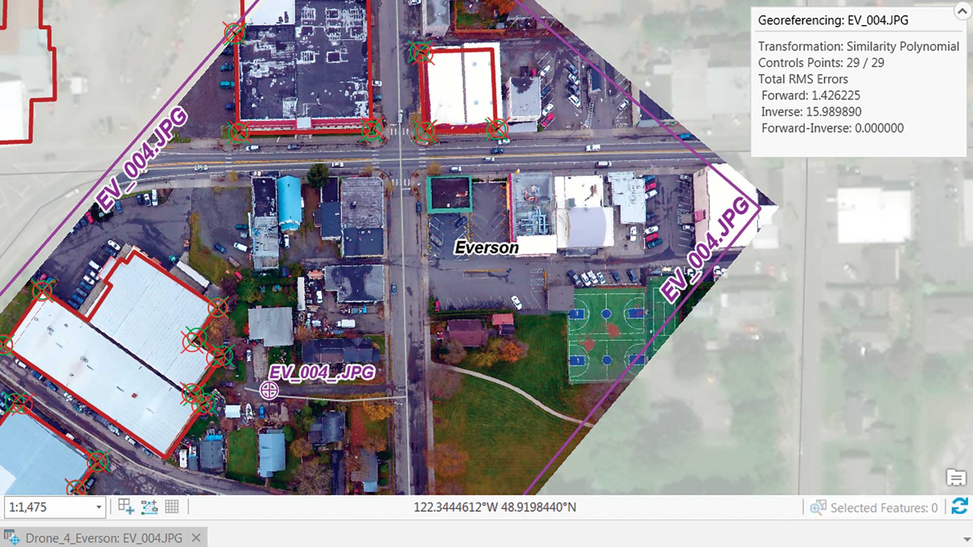
This exercise shows how to georeference an image by importing a file containing 29 carefully surveyed ground control points into ArcGIS Pro.