displaying 3032 results
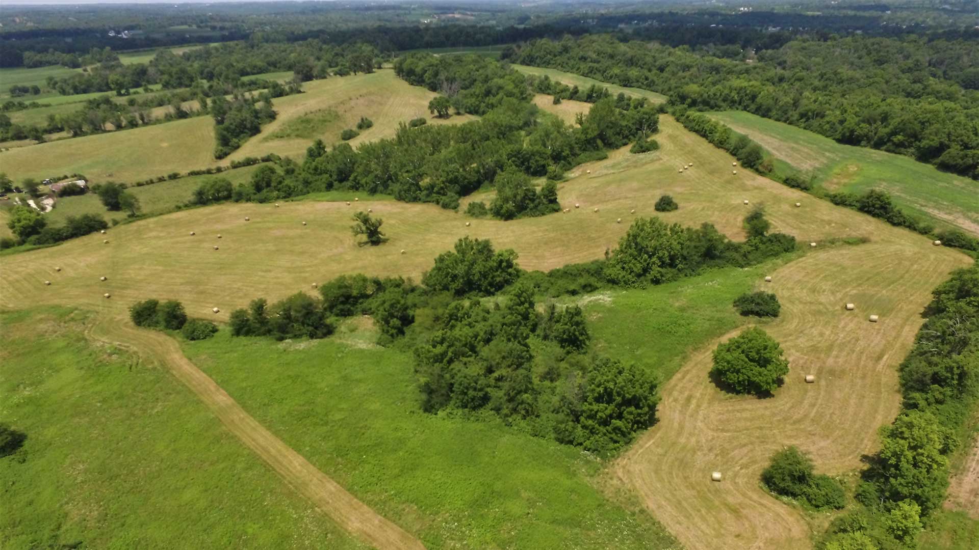
Nonprofit land trust organizations implement environmental planning using conservation strategies such as conservation easements.
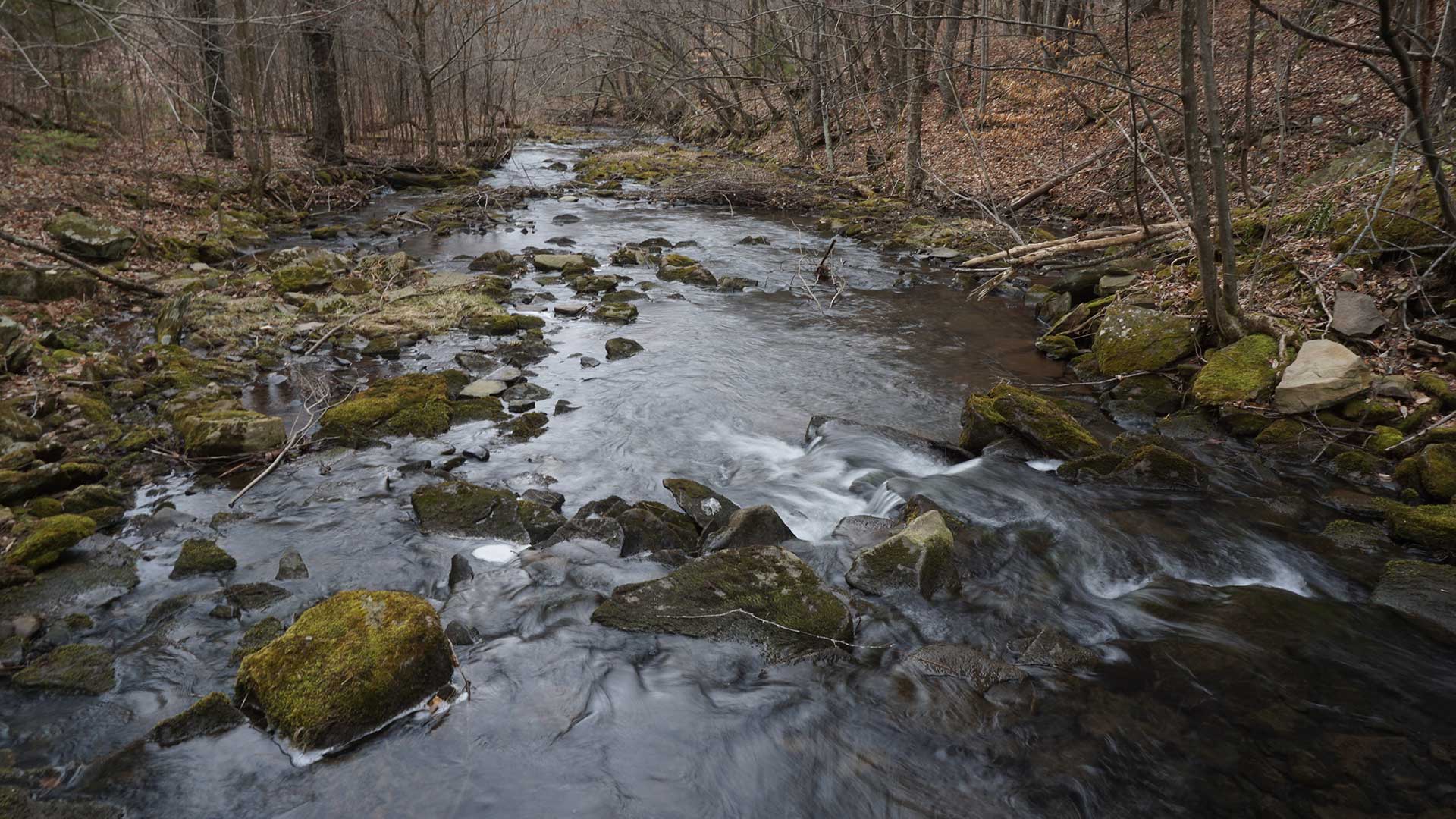
Pennsylvania plants trees precisely to maximize water improvement using GIS.
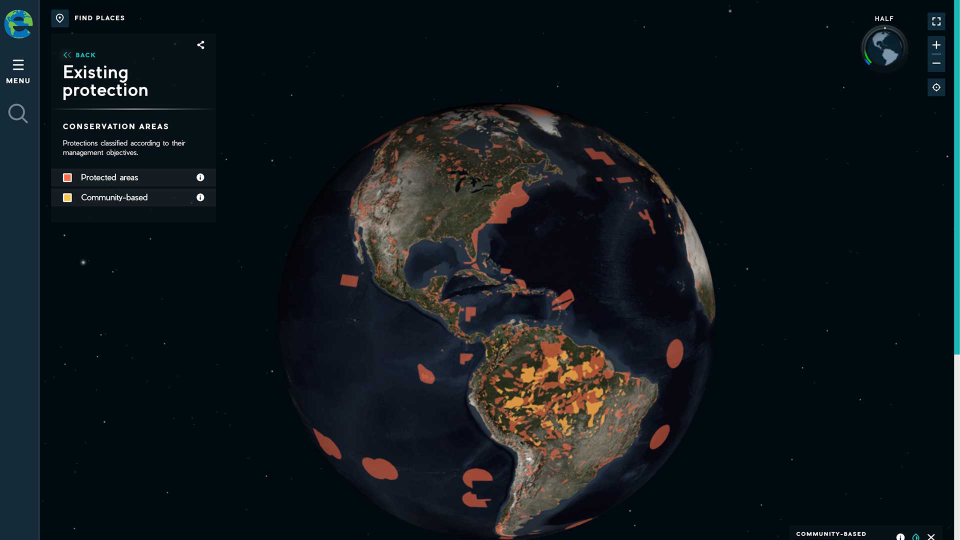
The Half-Earth Project, an initiative of the E.O. Wilson Biodiversity Foundation, advocates conserving half the earth’s lands and seas.
Learn how to create layer files in ArcGIS Pro to save time and encourage consistency.
A digital twin can accelerate innovation, build consensus, and save time and money.

Enter the 2019 StoryMapper of the Year Contest sponsored by Esri.

Orange County Registrar of Voters uses GIS to prepare for and run elections.

The intersection of artificial intelligence and GIS is creating massive opportunities that are available in ArcGIS.

Esri R&D Center in NewDelhi; release of ArcGIS Indoors; TLS upgrade for security; Jack Dangermond appointed an Officer in the Orange-Nassau.
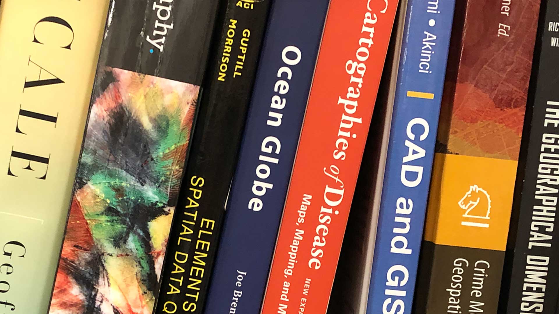
Spatio-temporal Statistics with R and Focus on Geodatabases in ArcGIS Pro
Creating an informative profile is a best practice whether you're making maps and apps for others in your GIS department, for users across your…
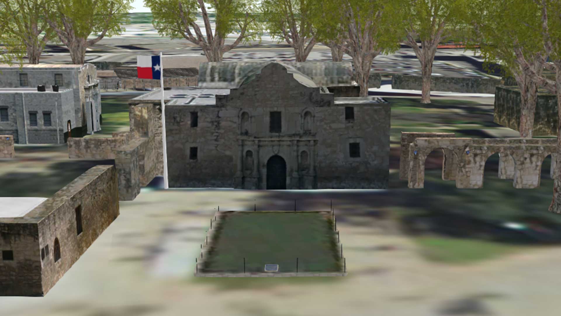
Engineers restoring the original site of the battle of the Alamo are using 3D GIS visualization of historic site.