displaying 3069 results
Spatial computing has been the cornerstone of GIS since its inception
Lehigh University first introduced a dedicated geospatial technology course for science and environment in 2008.
Maximize the impact of your message by using these strategies when building and deploying your ArcGIS StoryMaps story.
ArcMap entered mature support March 1, 2024.
Utopian Disruption uses GIS to envision an ideal city space in 3D.
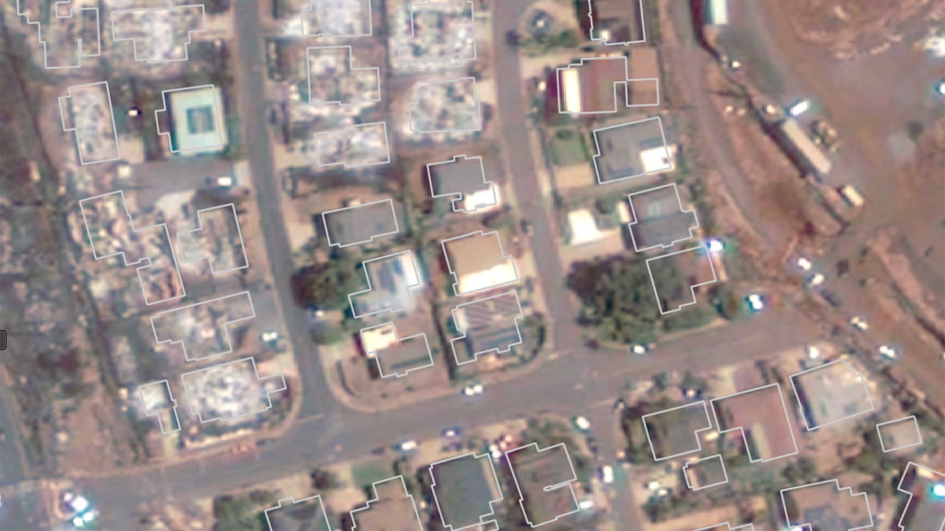
Deep learning models and GIS help accomplish wildfire damage assessments more quickly and more accurately.
Deaths from extreme summer heat are preventable so public health teams use online maps that show neighborhoods likely to experience extreme heat.
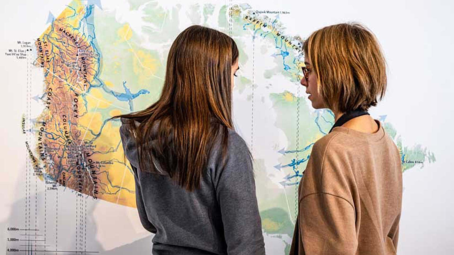
Members of the Esri Canada K–12 team received the Alex Trebek Medal for Geographic Literacy.
Organizations can use GIS to implement a multidimensional system of record that combines imagery, real-time data, and realistic 3D environments.
GIS is essential to helping utilities and governments replace lead service lines to comply with US Environmental Protection Agency regulations.
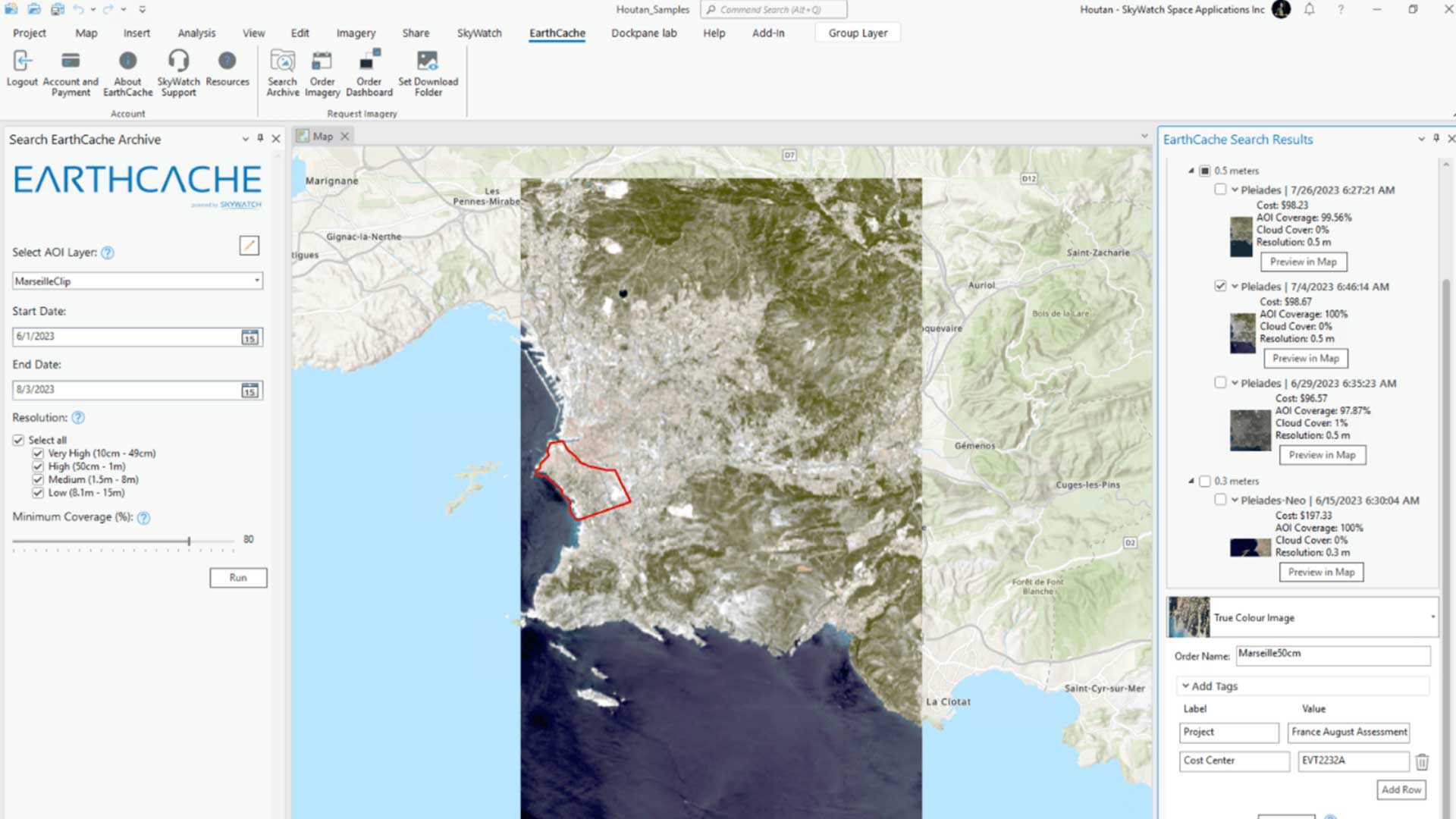
With the introduction of the EarthCache add-in for ArcGIS Pro, SkyWatch’s EarthCache functionality is natively available to ArcGIS Pro users.
The World Bank uses GIS technology to promote sustainable economic development, assist in meeting global challenges, and support economic growth.
