displaying 3069 results
Residents, students, and businesses now have easy access to public information.
ArcGIS Video Server, a new server role in ArcGIS Enterprise, allows users to perform geospatial video analysis on the web.
2024 Esri User Conference; cloud-based sharing; safe-guarding the election process; tracking dinosaurs;
The Board of Elections for Saint Louis County, Missouri, uses GIS technology to monitor operations before, during, and after elections.
Leea Kelly trained for a sustainable career in GIS at nonprofit Hopeworks..
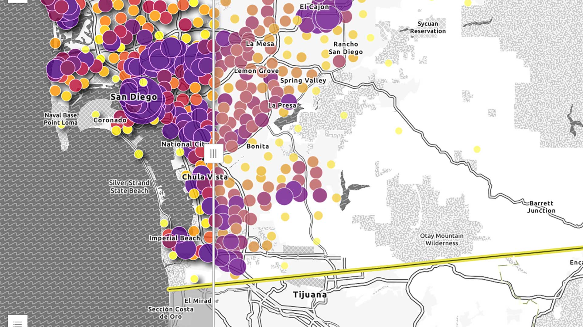
These tips will optimized the performance of the layers in your map.
Implementing digital accessibility in GIS and mapping helps reduce barriers for people with disabilities and ensures the widespread availability
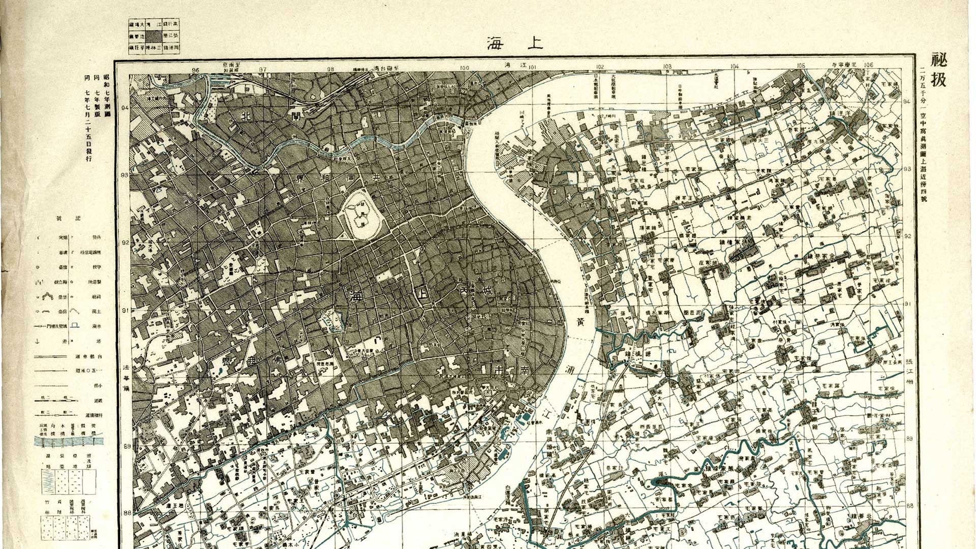
A new app makes the Gaihozu collection of maps of the Asia-Pacific area more accessible.
His GIS studies in college prepared Kevin Hess for his position as a GIS analyst for Boston College.
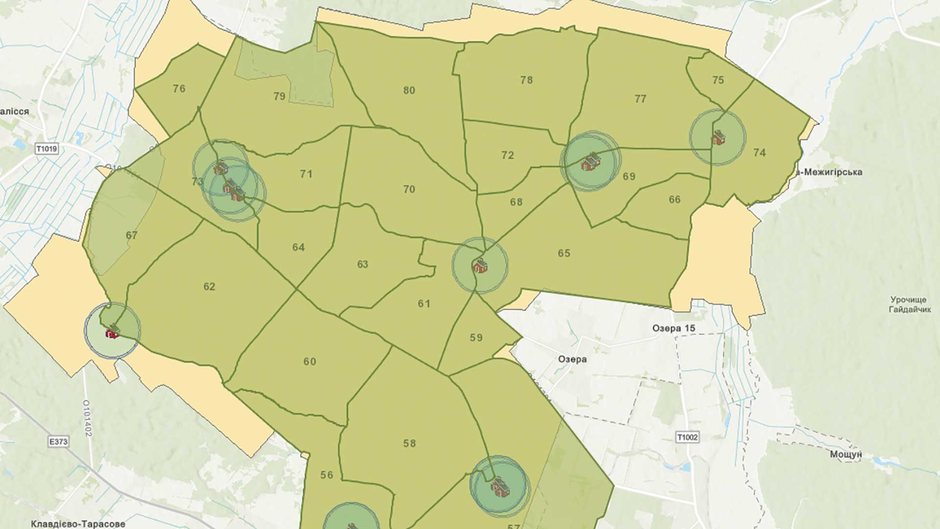
GIS is being used to meet the tremendous challenge of rebuilding Ukrainian infrastructure.
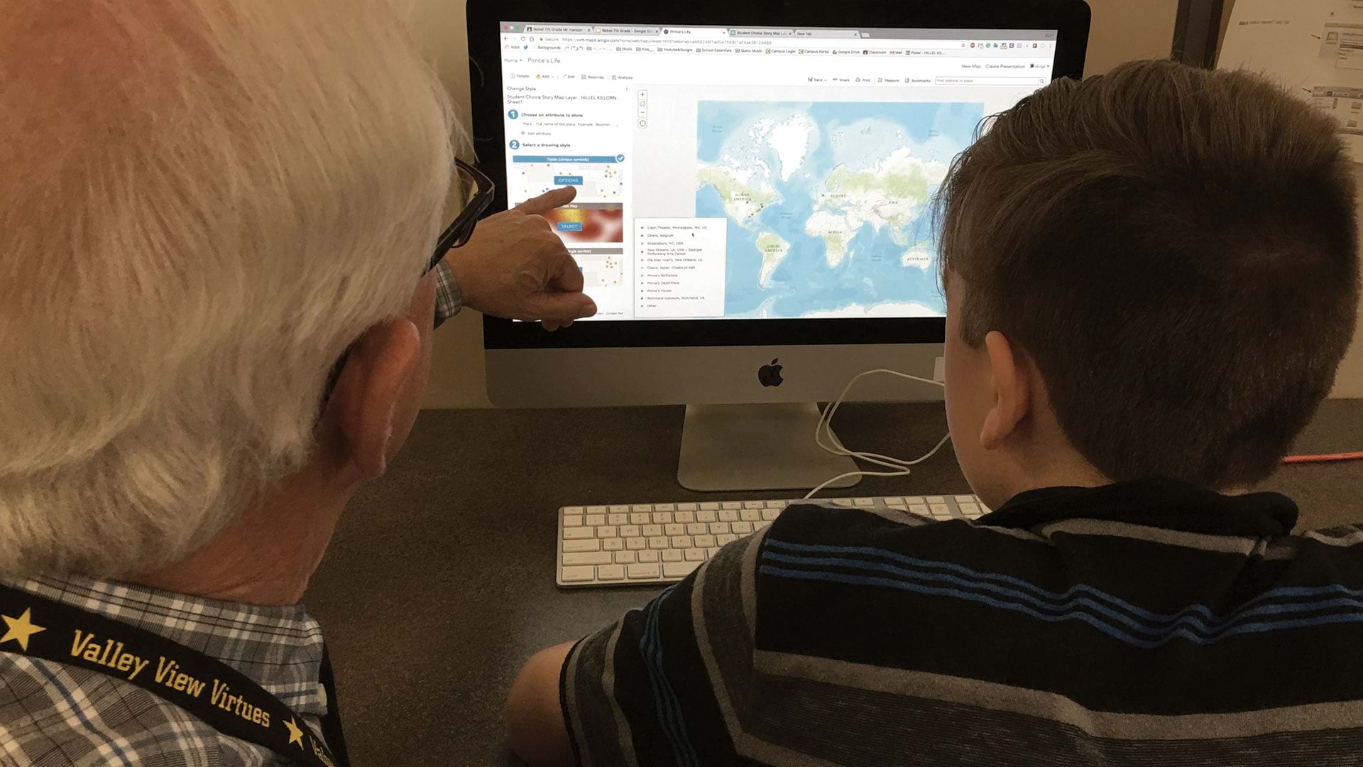
Jim Hanson, a geography teacher in Minnesota, realized the value of interactive learning in teaching geography.

