displaying 3013 results
Sullivan County, New York—home to Woodstock—now uses GIS for everything from address verification to event management.
Emergency response planners and managers have long used the ArcGIS platform to understand disaster events, improve response, and create…

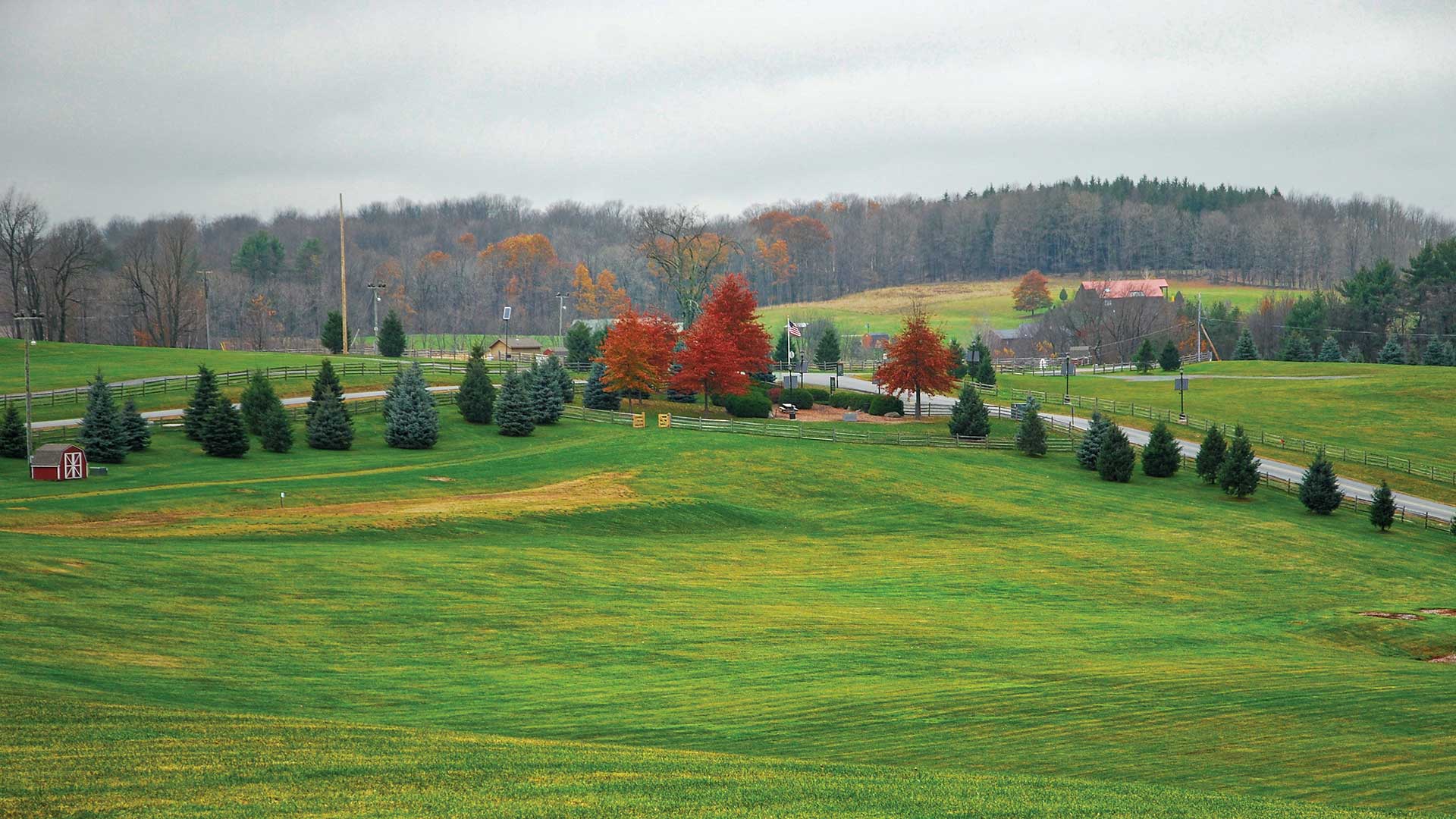
Loggers and environmentalists pledge to work together to manage Oregon's timberland.
To keep pace with its enterprise vision, Pinellas County, Florida, created a GIS governance committee to guide county GIS projects—in particular…

Wildfire planners and practitioners apply GIS to make plans, coordinate actions, check progress, and communicate conditions.
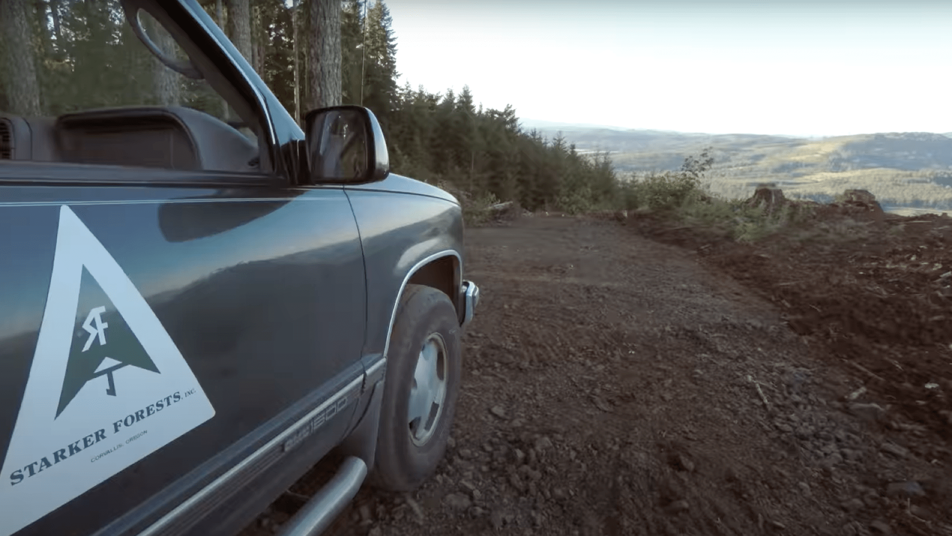
Oregon’s regulation of herbicide spraying led Starker Forests to adopt Web GIS to capture workflows to meet notification requirements.

London transit agency Transport for London uses GIS for traffic awareness and sustainable transportation.
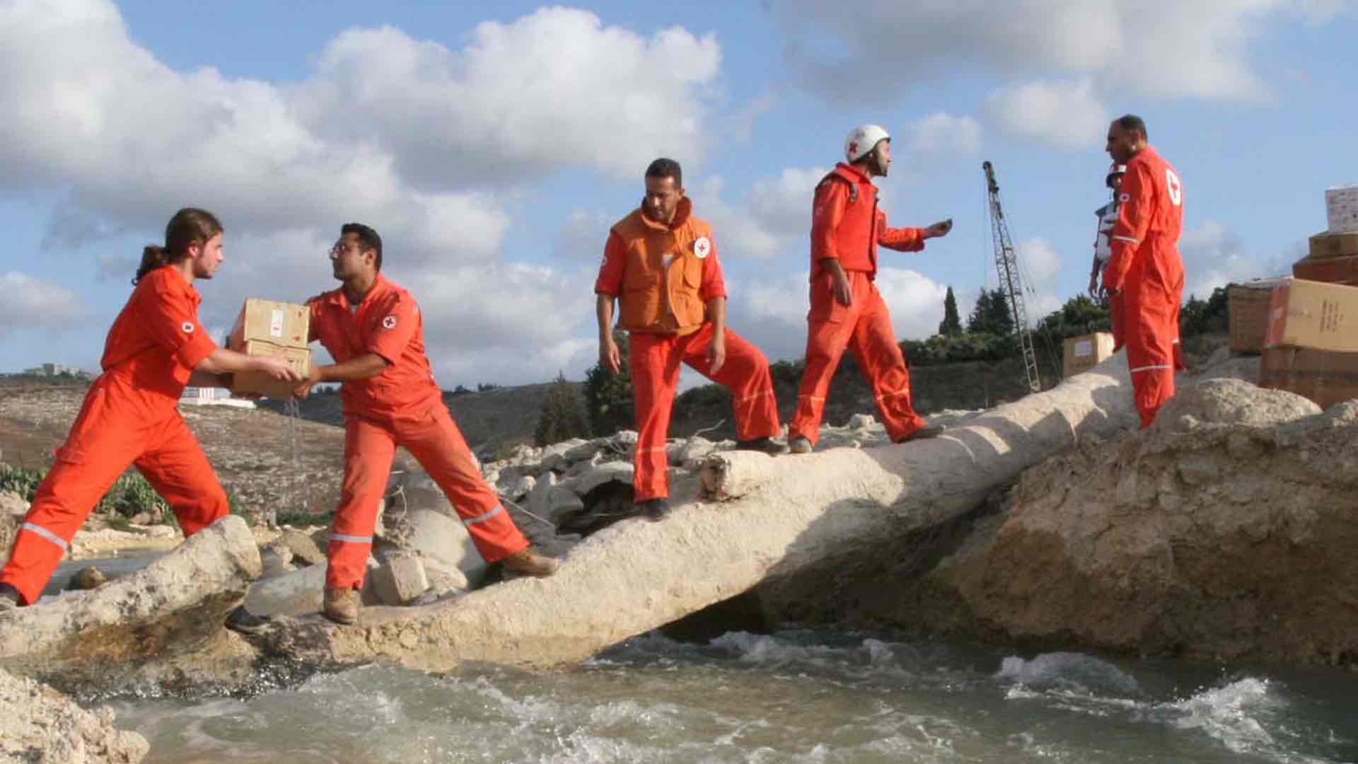
The Lebanese Red Cross use GIS to guide 1 million humanitarian aid actions per year, delivering context to build in-country capacity.

Esri awarded 27 partners for their innovation and excellence in helping customers succeed with ArcGIS technology. Find out more about them.

Find out when to choose one over the other—or when it adds value to employ the two products together.

A big redevelopment project in Memphis, Tennessee, leveraged lots of geospatial technology—from apps to surveys—to aid with decision-making.

The new app gives users the ability to collect data, view maps, and track locations all within a single mobile experience.