displaying 31 results
Erwin Rademaker from Port of Rotterdam Authority explains the importance of location technology in PRA's digital transformation.
Miami International Airport transforms inspections with mobile mapping apps, which spurs tracking construction progress.
Esri's Jay Theodore talks about how location intelligence and AI work together to fortify resiliency planning and digital transformation.
The Missouri Division of Fire Safety built surveys with GIS technology to gain visibility into its fire inspection processes.
ArcGIS Enterprise is revolutionizing how Minnesota’s Three Rivers Park District manages land, people, and projects.
Brian Cross, director of Professional Services at Esri, says to develop a geospatial strategy before diving into a digital transformation.
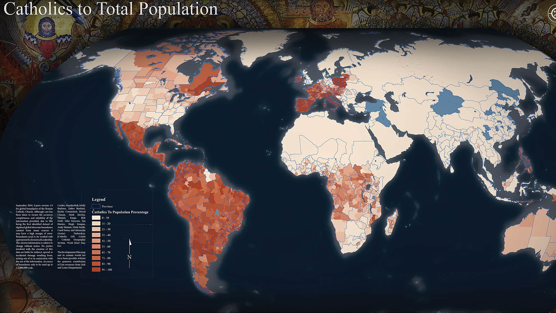
Land use has a moral dimension to it. That’s why Molly Burhans wants to help the Catholic Church better manage its land—first by mapping it.
Nyle Taylor from Taylor Shellfish Farms explains how location intelligence drives growth and innovation at his world-renowned oyster farm.
For a recent local election, Kane County, Illinois, used ArcGIS apps to provide more efficient IT support to 121 polling stations.
The census is the largest peacetime operation conducted by the US government. Article I, Section 2 of the US Constitution mandates that each p...
Michael Hide and Cain Duncan from Fonterra discuss the importance of technology to remain competitive in the dairy farming business.


