displaying 3264 results

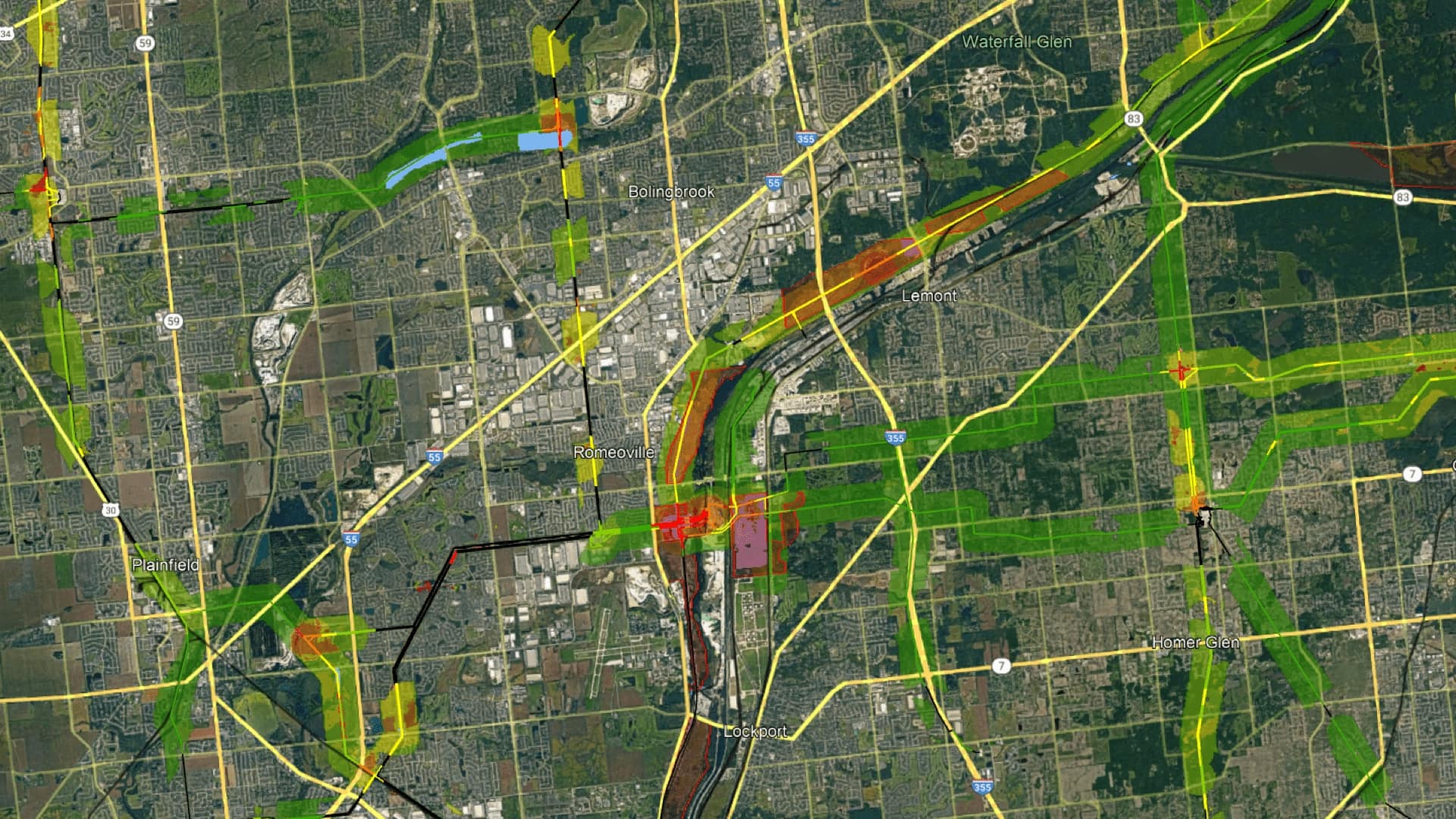
Right-of-ways contain critical infrastructure. That’s why transportation agencies and utility companies are turning to GIS to manage them.

The Alabama Forestry Commission leverages ArcGIS StoryMaps to showcase the state’s work to protect and manage forest resources.
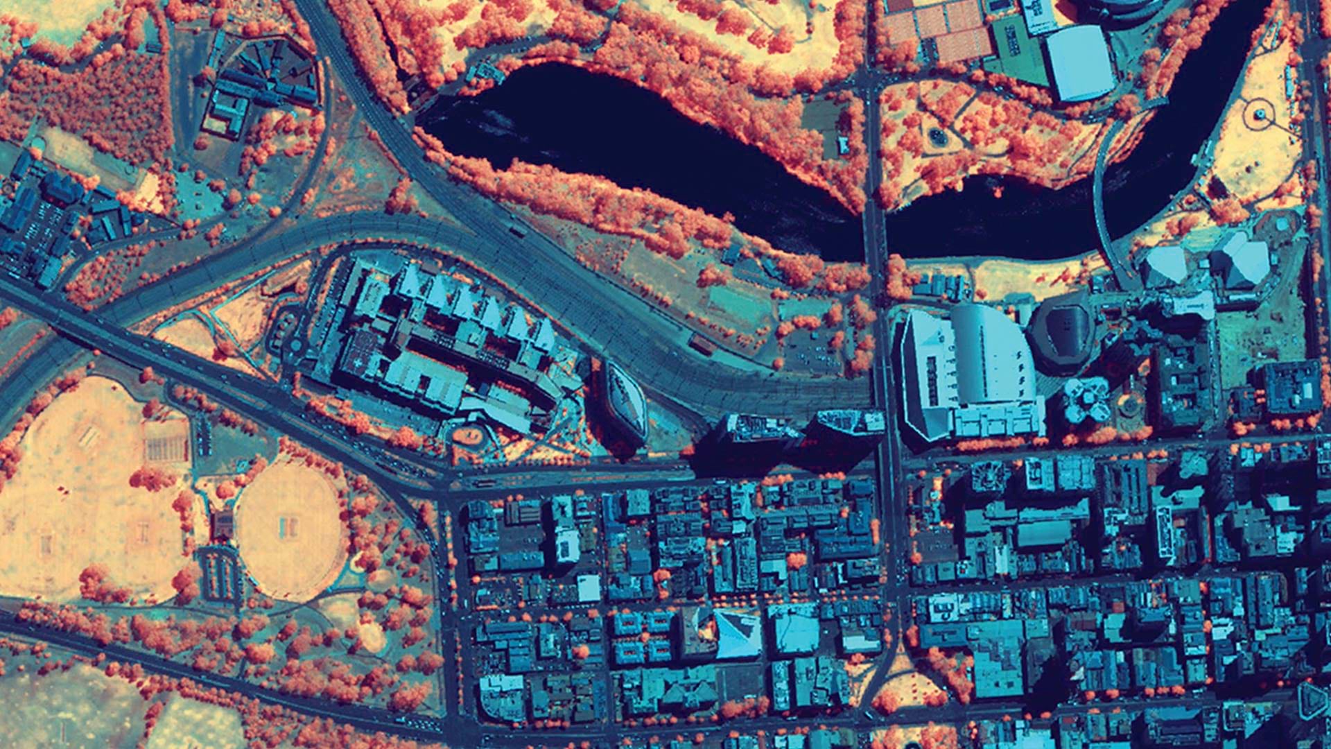
ArcGIS Image provides flexible data management, extensive sensor support, imagery processing and analysis capabilities, and secure sharing.
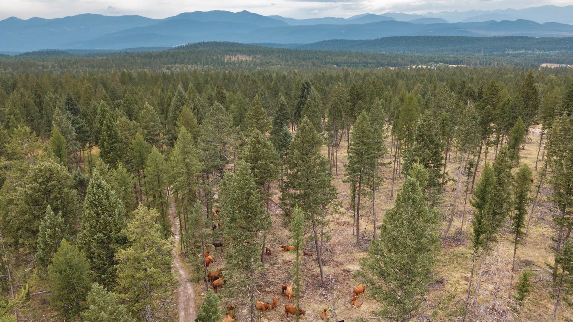
Land managers in British Columbia teamed with cattle ranchers to prove balanced grazing was good for both cows and the forest.
ComEd uses GIS to conduct integrated vegetation management to return land to native prairie habitats to support the monarch butterfly.

ArcGIS Enterprise is revolutionizing how Minnesota’s Three Rivers Park District manages land, people, and projects.

The success or failure of a project or initiative rests as much on social change within the organization as on the technology.

For business leaders, indoor intelligence means knowing where crucial assets are, leading to a safer, smarter, more efficient workplace.

On January 29, 2015, Esri Managed Cloud Services (EMCS) achieved Federal Risk and Authorization Management Program (FedRAMP) Moderate compliance.
If you’re not factoring real-time geospatial analytics and mapping into your GIS strategy, you’re leaving an immense gap in your ability to…

Esri is hiring people with all levels of experience for positions at its headquarters, regional offices, and R&D Centers.