displaying 283 results

Bridging the gap between physical and human geography will better address climate justice—and improve climate science.
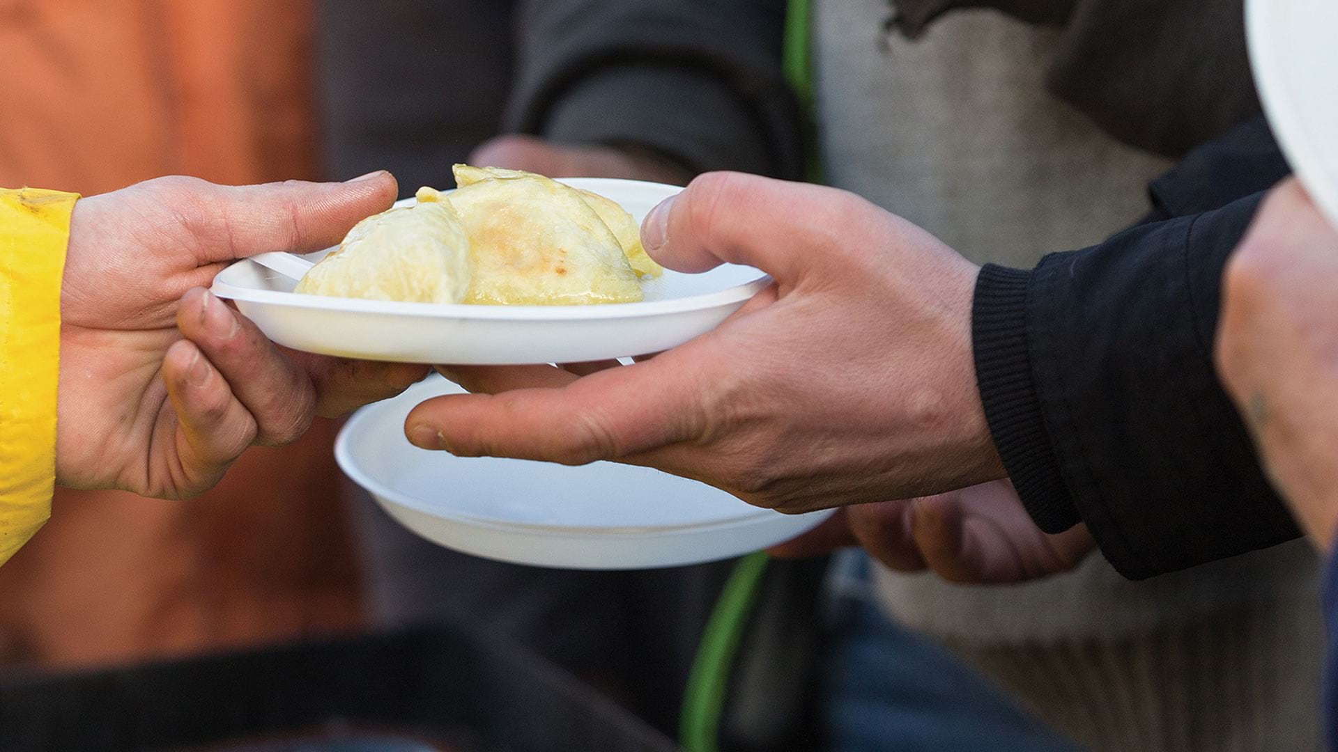
ArcGIS Solutions has been developed to assist communities dealing with homelessness.

To help high schoolers tackle problems ranging from food insecurity to the digital divide, one instructor champions the geographic approach.
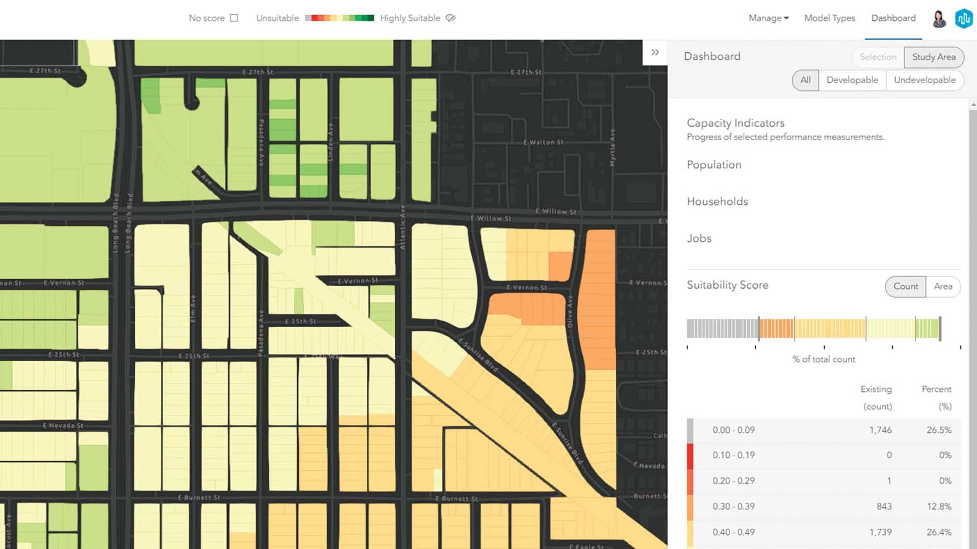
A data-driven approach to planning is key to justifying specific designs and developments for a community.

ArcGIS helps Feeding America food banks meet the needs of food insecure people across the United States during the COVID-19 pandemic.
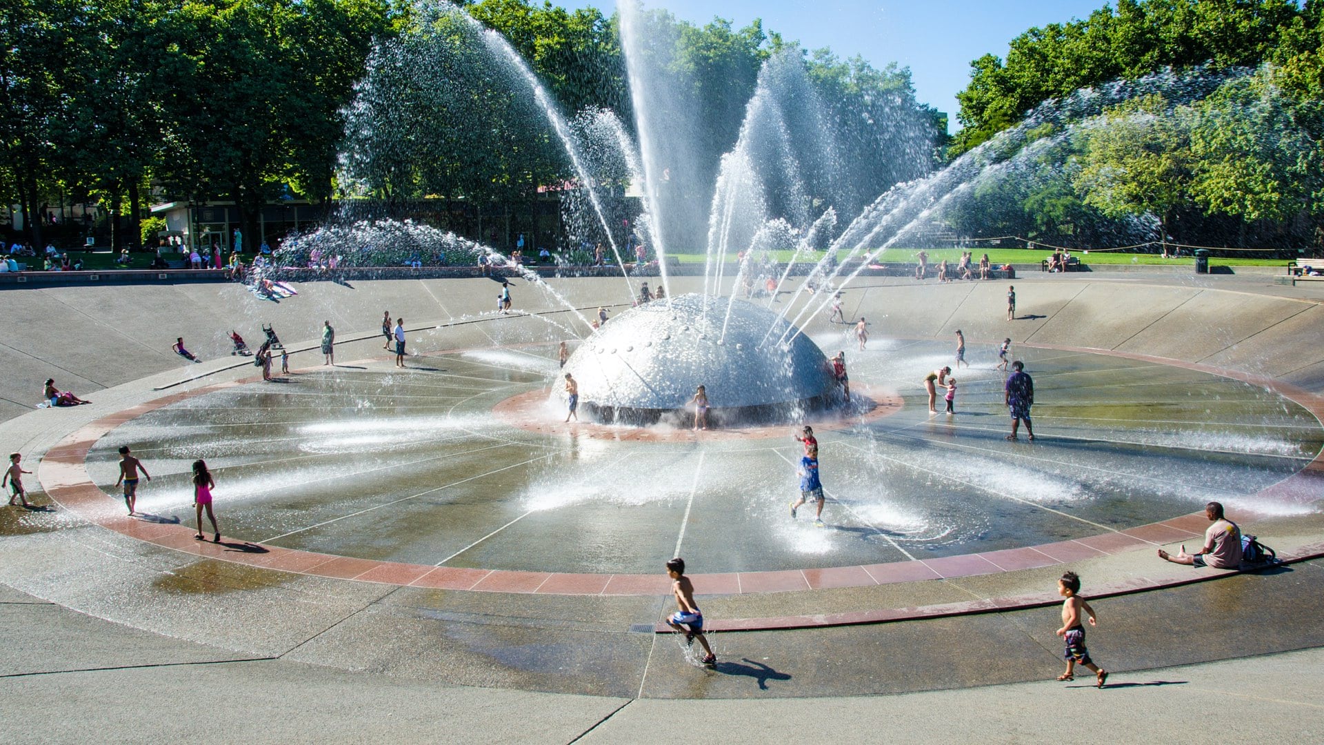
As record-high summer temperatures make many neighborhoods less safe, maps are helping public health teams find people who are at risk of dying.

Nick Okafor from Massachusetts Institute of Technology explains how mapping is being used to tackle social inequality.

New books from Esri Press cover geospatial technology in the field, GIS and wildland fire, and GIS for geospatial collaboration.

Join Esri Academy’s free online course and learn how GIS can be a powerful tool for combating climate change.
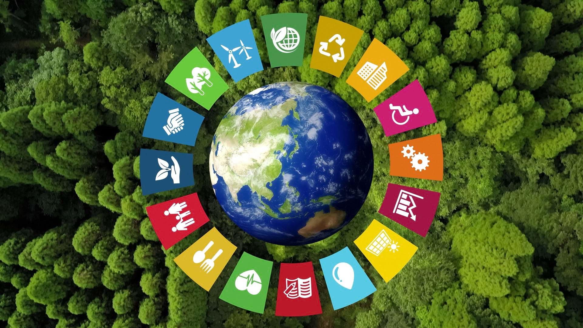
The SDG Data Alliance is working to help countries and organizations around the world achieve sustainable development goals with SDG Data Hubs.
The Minnesota GIS/LIS Consortium continues its long history of supporting the statewide GIS community by showcasing its members' work.

Monroe Community College’s new GIS microcredential aims to meet modern industry trends and prepare students for the workforce.