displaying 3089 results
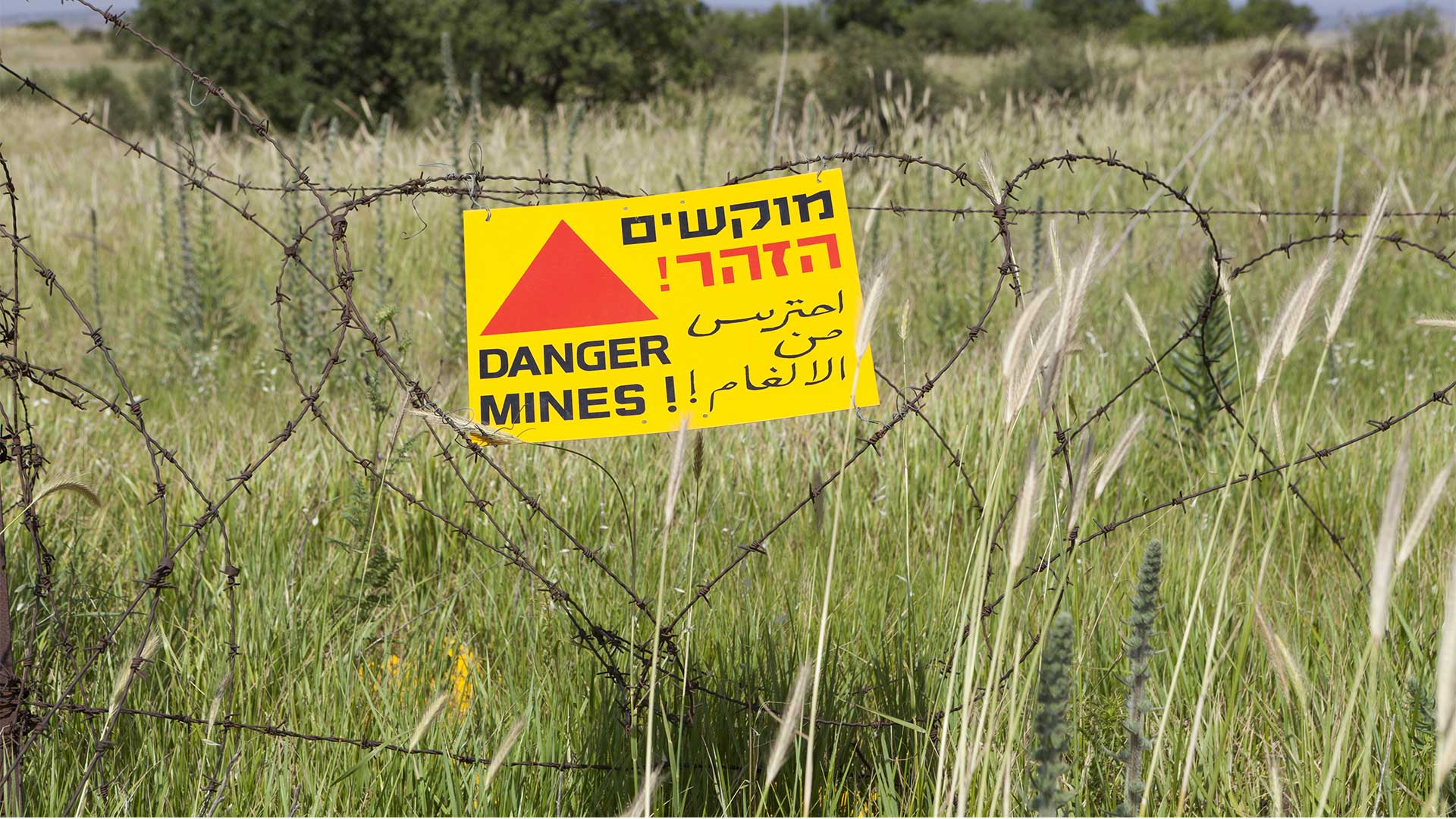
Web-based GIS helps demining organizations manage information and increase efficiencies.
ArcGIS Workforce doesn't just help the City of Sarasota process work orders—it's a framework for asset management, weathering storms, and more.
A public utility in the Pacific Northwest that relies on hydroelectric power developed a comprehensive and efficient shoreline management system
Web GIS enables emergency management and homeland security professionals to share critical information quickly.
Esri brings geospatial analytics to spaceborne data, GIS helps promote vaccine confidence, and Esri education manager attains NCGE award.
Saudi Arabian Oil Company (Saudi Aramco) manages its huge network of transmission lines with GIS.
Homeland security and emergency managers use GIS as an enterprise system to coordinate with partners and share an awareness of citizen needs.
Recent examples show how GeoAI leads to better risk management practices across business sectors.
Facilities need to be transformed in ways that are both flexible and sustainable. ArcGIS Indoors can help.
Find out how Esri partners are making organizations and communities smarter by giving people access to a wide range of geospatial information.
Landscaping company moves from pencils and paper to digital design for irrigation systems saving water and money.
Esri partners help organizations streamline operations, collect and optimize data, plan land-management strategies, and more.


