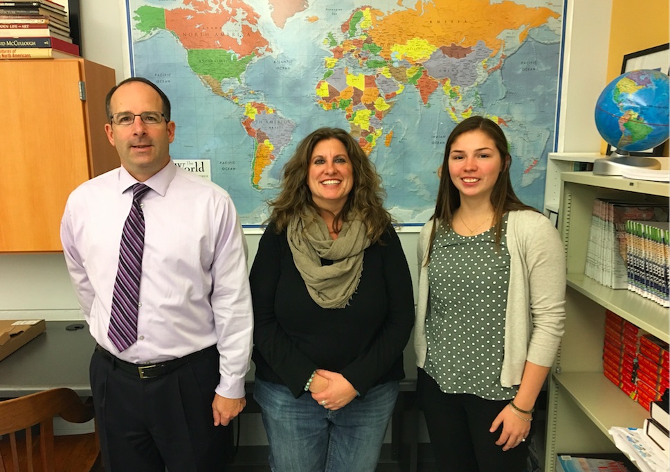
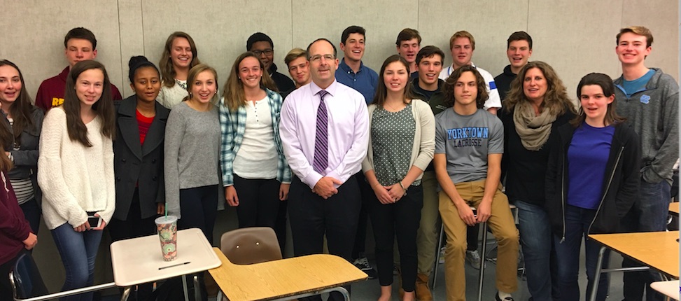
Today, Wednesday, November 16th is GIS Day. Because of a quirk in class schedule, the Geography teachers at Yorktown High School in Arlington, Virginia, celebrated it Monday, November 14. Jennifer Shearin organized presentations from NGA and Esri for seven sections of AP Human Geography at YHS. Mike Cantwell, a GEOINT Officer at the National Geospatial Intelligence Agency gave 160 students an understanding of the importance of their mission. Humanitarian work in Haiti following Hurricane Matthew was showcased from http://nga.maps.arcgis.com/.
Curt Hammill and Brooke Rippy, from the Defense Team at Esri explained how the gift from Esri and Amazon to every school in America could help YHS. Brooke signed up all 160 students for ArcGIS Online accounts at www.arcgis.com. Brooke told the students how she found a job at Esri. “I was interested in Geology, Environmental Science, and Urban Planning, and realized at George Mason University that they all were joined by Geography. I’m excited to work at the company that invented GIS.”

Brooke Rippy – Defense Team at Esri
Jennifer’s students have been working with Esri Storymaps to understand better the refugee crisis in Syria.http://storymaps.esri.com/stories/2013/syria/ She remarked, “ArcGIS.com is a hands on way to teach geography. It’s a new way that resonates with my students.”

It’s safe to say that the first class of the first schoolday in the Eastern Standard timezone in the week of GIS Day would be the first one to celebrate. With 160 sophomores, juniors and senior students in only the second year of the AP Human geography program, it’s clear that Jennifer and her colleagues earned the honor.
insider